Month: July 2020

  • Emosson dam / Things are generally better than you think they are.

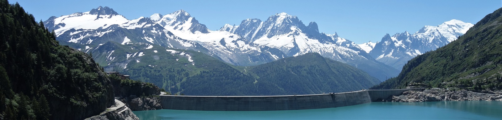
    Dams. They look so solid to us yet barely register on the timescales of the landscape they impose upon. Silly humans and their concepts of permanence.

    Here’s a question for you*:

    In the last 20 years the percentage of the world’s population living in extreme poverty** has?

    A) About doubled
    B) Remained about the same
    C) About halved
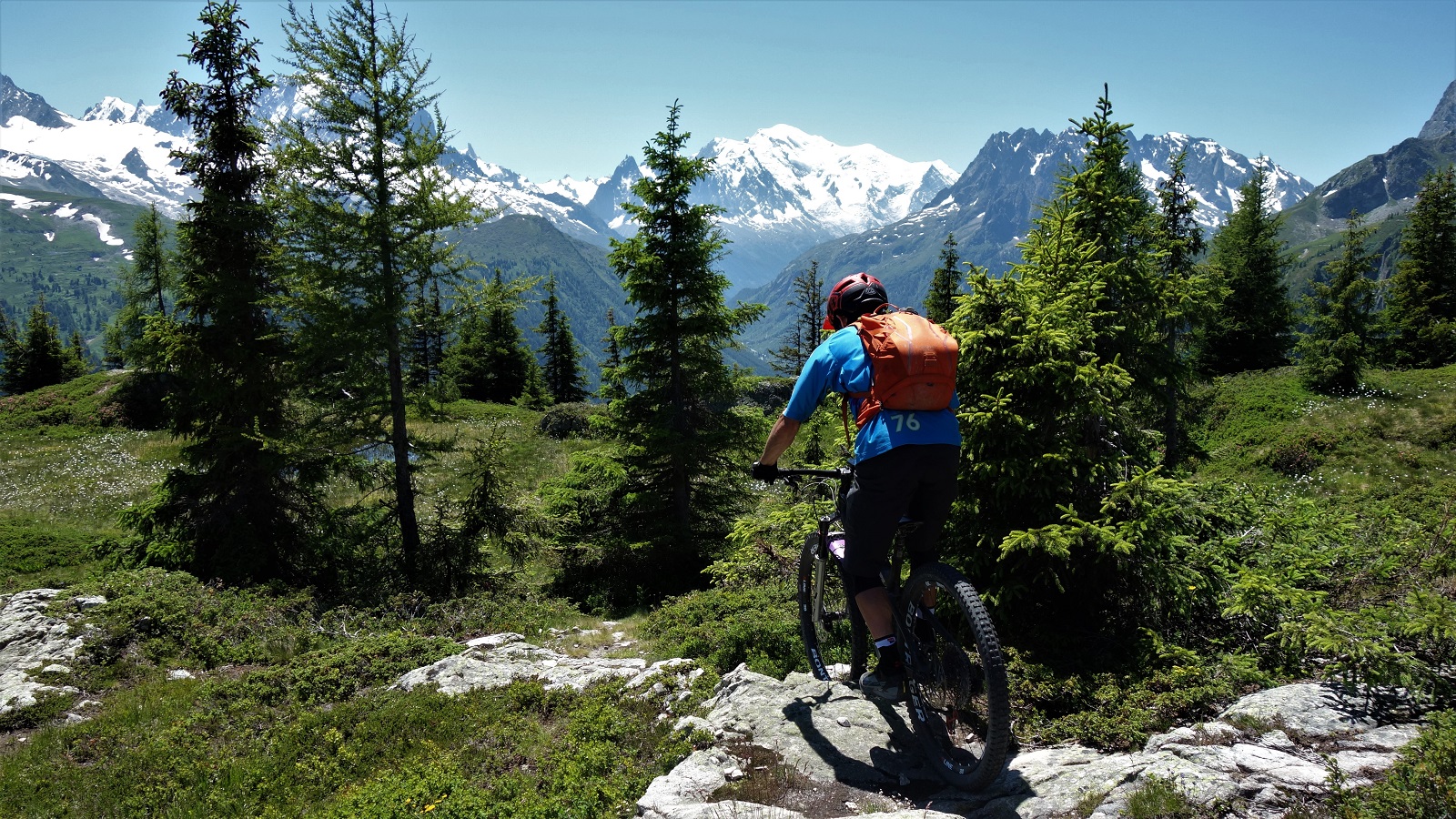
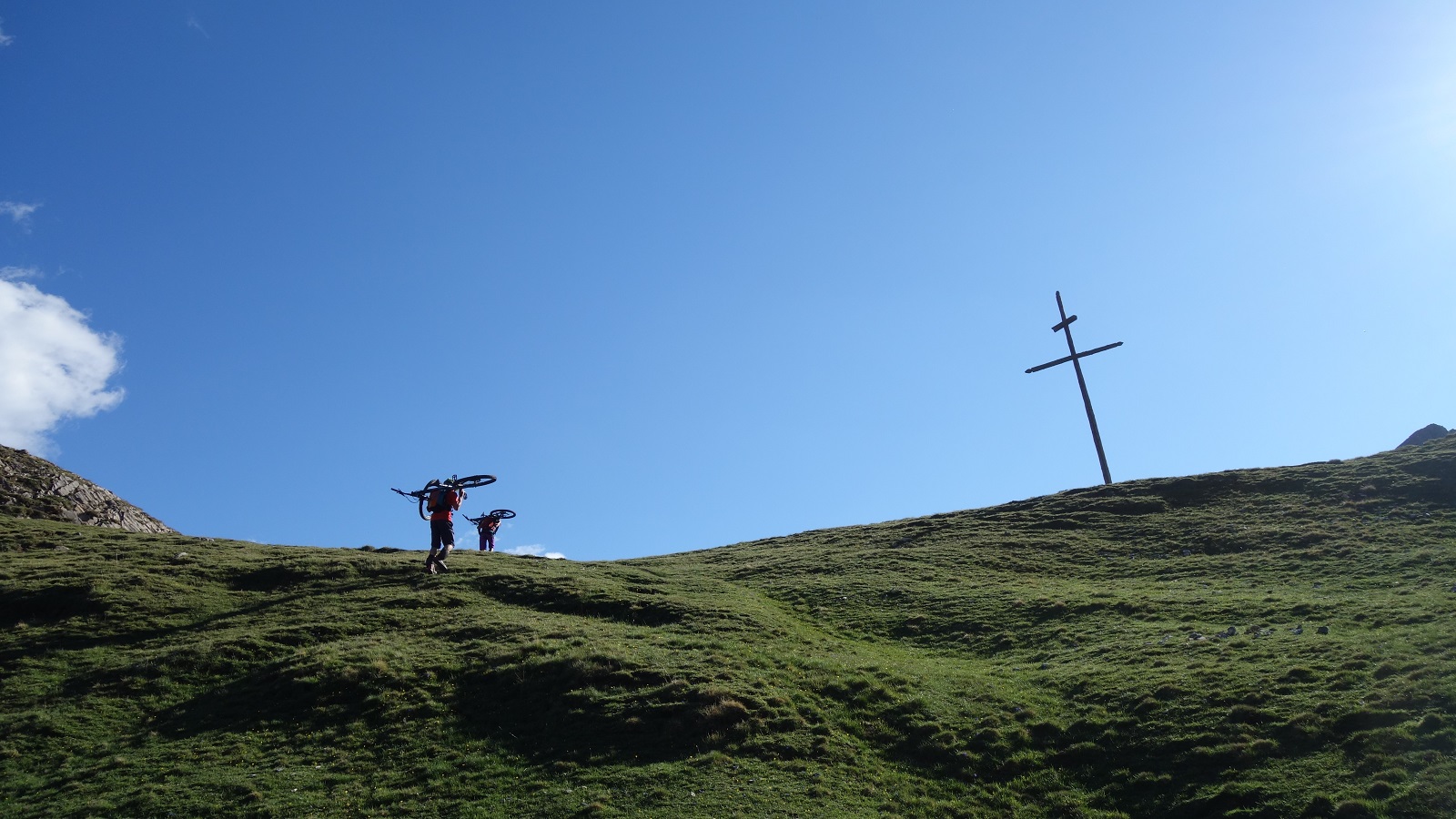
    Whilst you ponder that one, here's James right at the tippy top of the trail this blog is ostensibly about.

    A, obviously.

    How about this one then:

    How many of the world’s 1 year old children have been vaccinated*** against at least 1 disease?

    A) 20%
    B) 50%
    C) 80%
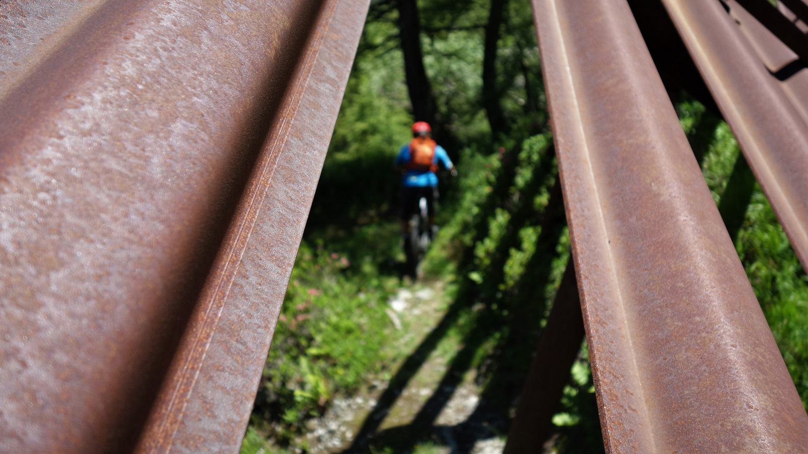
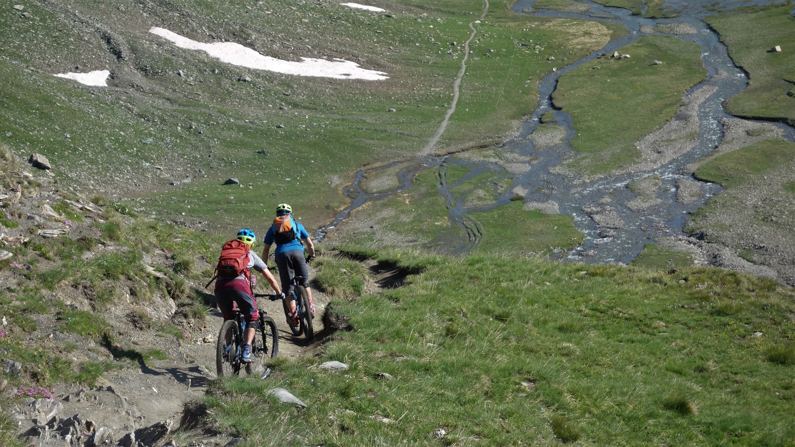
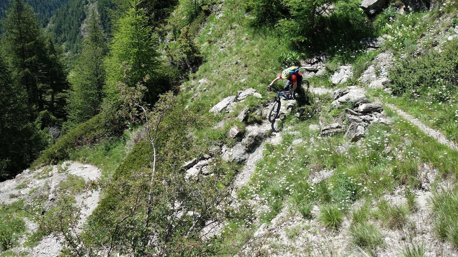
    Here's another thought provoking image of the descent. Good mix on this one.

    Again, surely A isn’t it. Depressing but that’s how it goes. Certainly not C. What optimistic fool would think that?

    Optimist or pessimist? Over the rise is the best trail you've never ridden or 25 meters drop to pointy rocks?

    So yeah, it’s C. Both times. Don’t worry, most people get it wrong. You’d assume by the wonders of multiple choice averages then about 33% would get those questions right, but no, its closer to 13%

    And your education doesn’t seem to help either, apparently that last question has a strong correlation where the better your education, the more likely you said A. Which makes sense, as you’d be more aware of the complexities of creating, storing, transporting and administering a vaccine that needs to be kept refrigerated at all times and delivered by highly trained professionals.

    Things are about to get dark.

    Why’s this? I don’t really know, but clevererer folks than me think it’s because there’s a lag time between your education and your current place in the world. What you learnt at school was probably right(ish) 5, 10, 20, 30 years ago but the world has moved on. It’s just your knowledge that hasn’t. You imagine that because you were taught about famines and corruption and destitution in many regions across the world, things haven’t really changed. If a country can’t feed their population, how can they have a refrigerated transport network? Well they can by having moved on over a 20 year period and now most citizens live a lifestyle similar to the UK not that long ago. In general, on almost any metric you care to use, the world of right now is a better place than the world of your school days. Things really are getting better.  So essentially, before making a flash judgement on something, you need to check what the state of the art is and re-assess your existing knowledge. Then crack on with your whataboutisms that the statue is there because of his philanthropic work and historical context, not the other dubious bits. Like, why else would you want to keep the statue of Jimmy Savile?
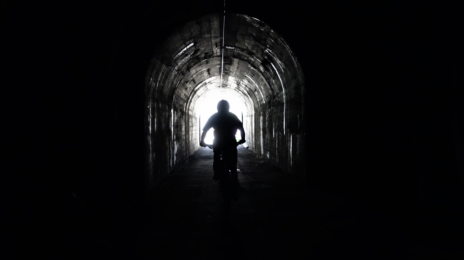
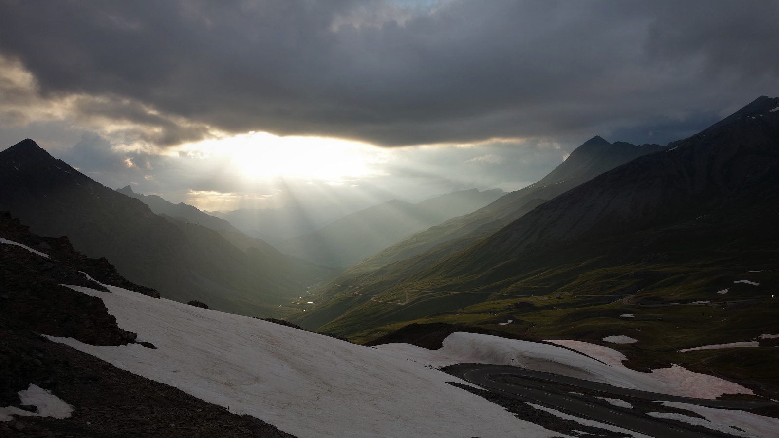
    It's dark, but keep heading for the light.

    Bikes then Graham, how are you pulling this back to bikes?
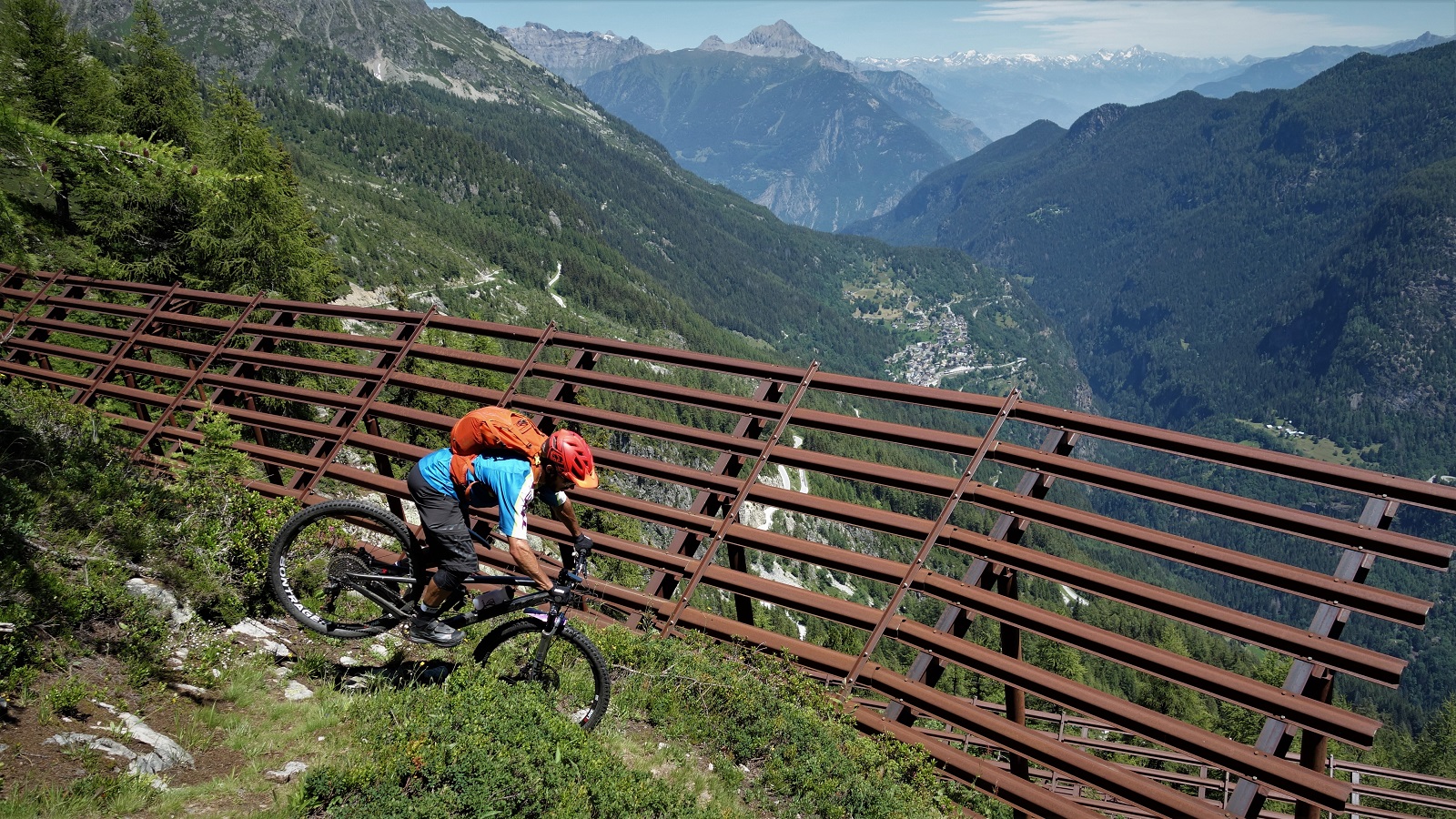
    Way, way, way back in the '90's there was a rider called Jez Avery who's signature move was the "Switzerland Squeeker". It didn't look quite like this, but then not much in the '90's did.

    Weel, a similar thing happens with trails. You might have ridden a line on the map 8 years ago, but mountain geology is an active thing, trails change, work gets done to make things less or more rideable. Riders change, our tastes change, our bikes get better. Basically, you need to go back to places every so often to see if the situations changed.
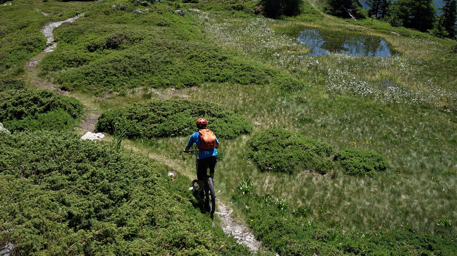
    This trail will have changed over time. So has the rider. That's life, life is change, the absence of change is the absence of life. I guess we should embrace change.

    Years ago I more or less wrote off Emosson Dam as being not worth the effort of biking except the classic line from the dam to Martigny. James got in touch to see if I wanted to try and find a trail he’d heard of over Emosson dam way. I was fairly sure it’d be ok, just not worth the effort you’d put in to get there, but I’d not seen James in ages and playing bikes is only ever an excuse to catch up with the amazing people that ride them. So I said aye, where shall we meet and a day later we’d both taken the same different train and were sat in a cafe in Finhaut drinking coffee out of antique tea cups whilst a giant cat pinned me to the chair and a road climb in the sun waited for us.
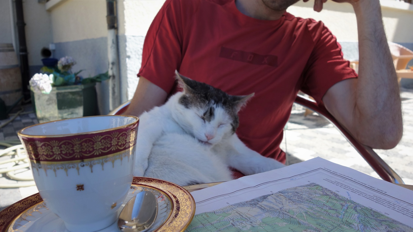
    No Mr Brickell, I expect you to die!

    Long story short, turned out to be a great trail. It wouldn’t have been a great trail 15 years ago because my bike would have broken on the way down (twice) and I’d have broken on the way up if I’d tried to pedal something that would survive the down.
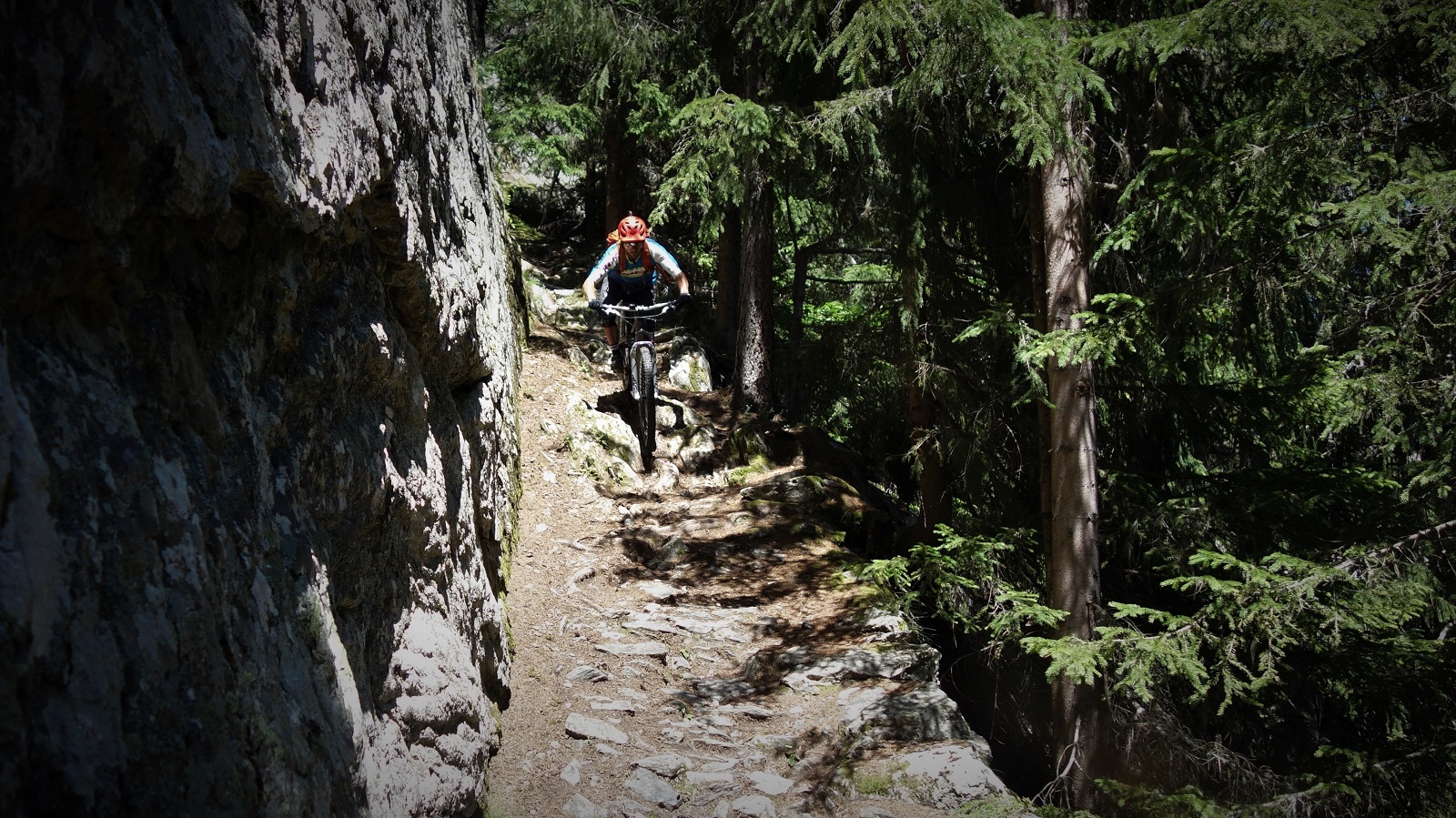
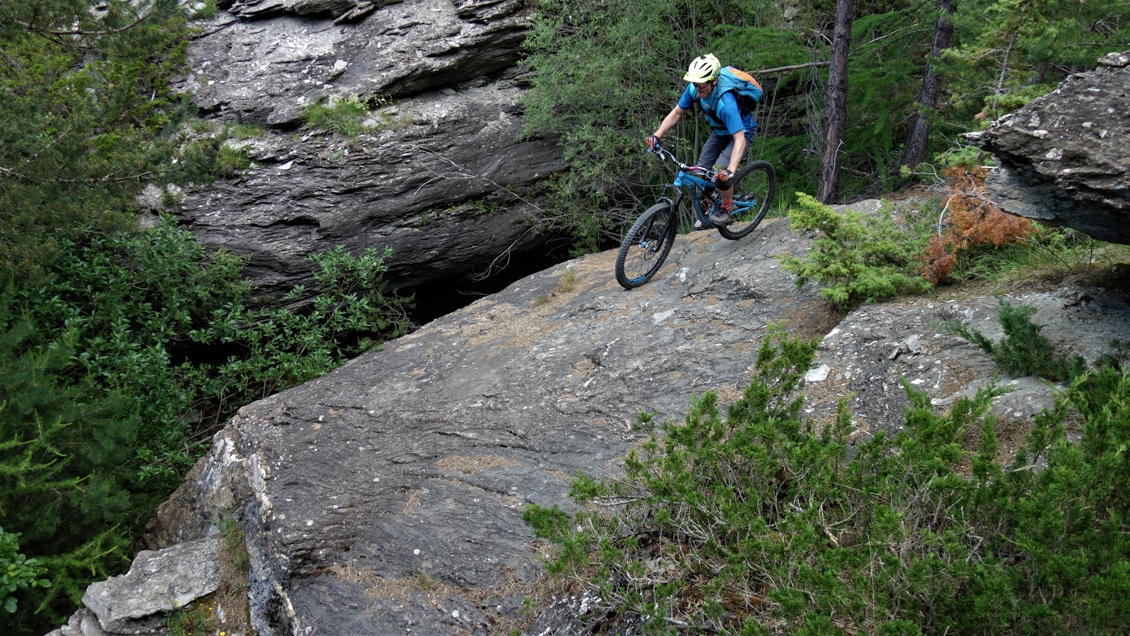
    This is not the most hardcore bit of the down, but it still caught both of us by surprise!

    We explored a bit, we turned around from the first attempt due to too much snow, we found the second plan, we sessioned a few bits, we looked at dragon flies, we rode some great trail, we talked about all sorts of shit.

    Actually, that’s not praise enough. It really was a good trail. We chose not to ride a couple of short sections, partly because we are now old, partly because even though both of us are happy to represent for bike companies that produce bikes we really like (obviously mine is better though, covid compliant fist bumps to Airdrop for the new Edit which has taken the baton passed to it by my old Edit and Bolted down the hill) we don’t want to replace those bikes too often and big piles of rocks do shorten bike lifespans when you drop them into it.
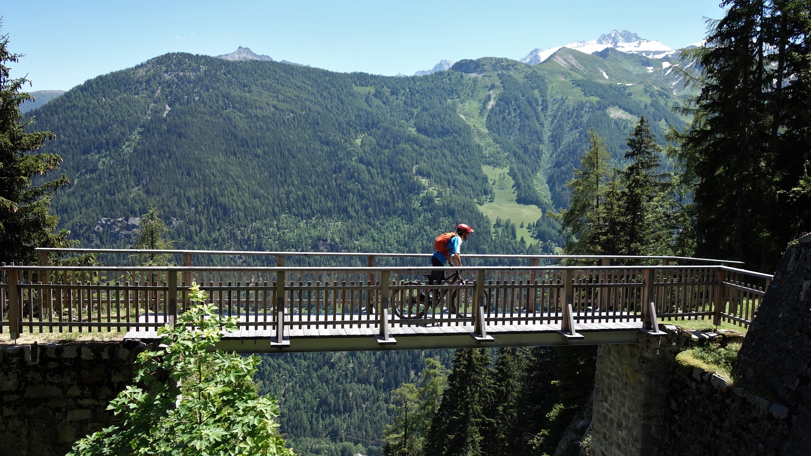
    Like a bridge over funiculaaaar, Switzerland takes trails seriously.

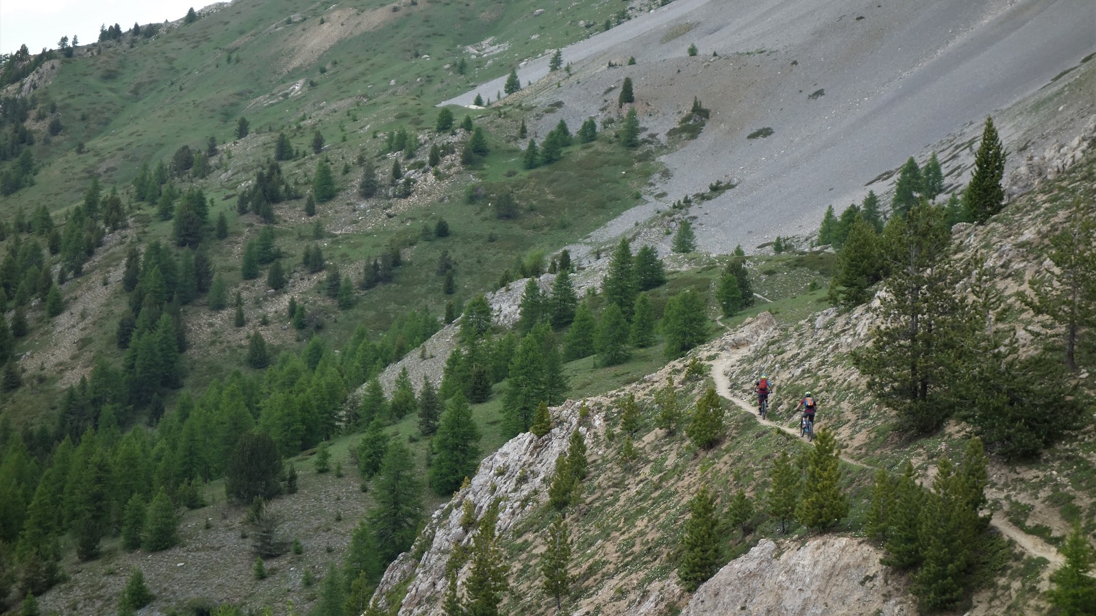
    The upper section had the most bike threatening terrain, but past the initial couple hundred meters of descent things mellowed out and it turned onto one of those trails that you know is older than your grandparents yet somehow was built with 2020 bikes in mind. Tight switchbacks but with supportive berms, assorted small lips with perfectly placed backsides to aim for, rocks that roll or launch depending on your preference. Like I say, really was a good trail.
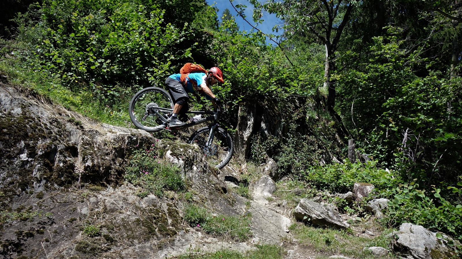
    Impeccable form on display by James here,just look at those dropped heels and hip-hinge.

    It’s the trail between the dam, Gietroz and Chatelard. That should give enough clues to tempt you away from the increasingly busy Chamonix without taking away too much of the fun of updating your knowledge.
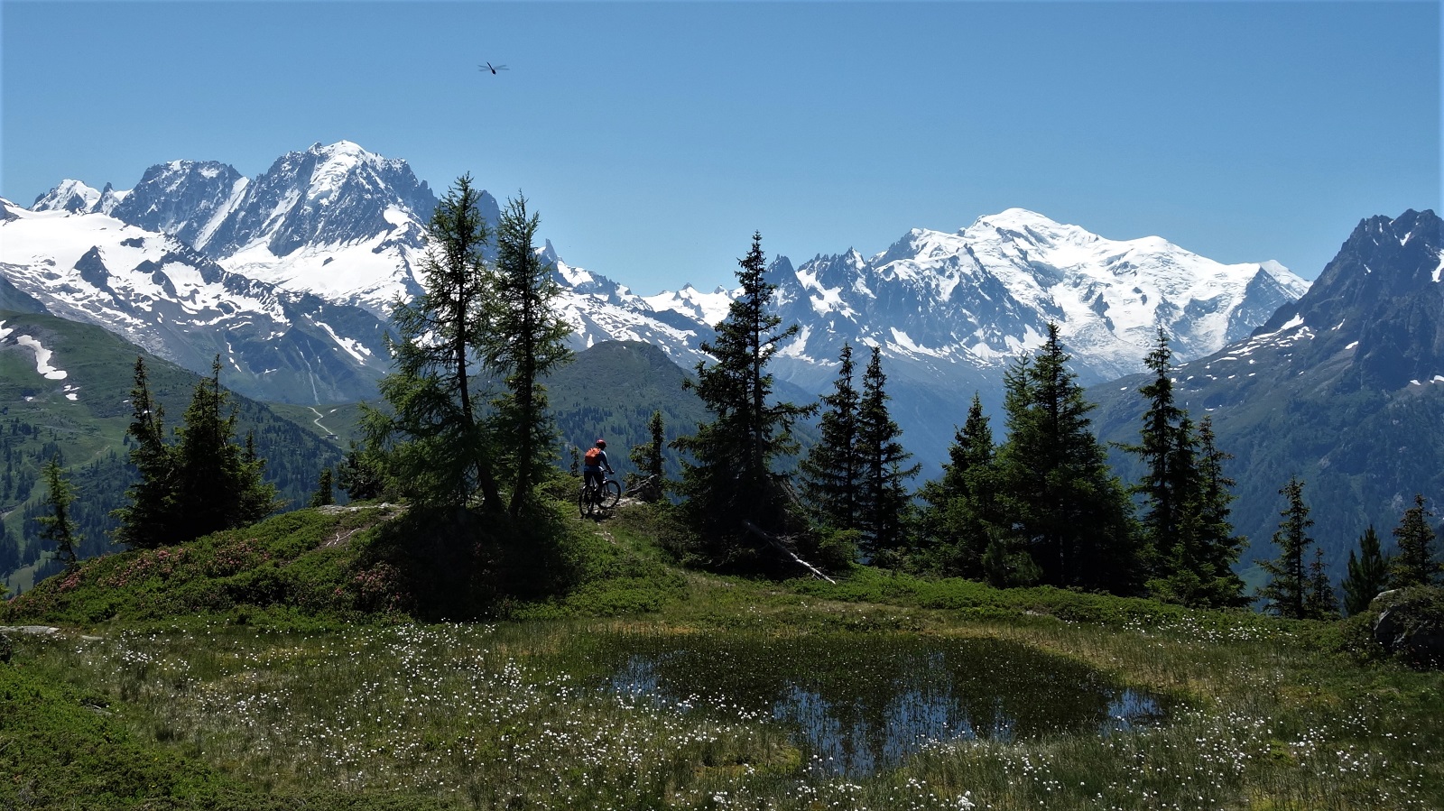
    Seconds after taking this photo, that giant dragonfly grabbed James and flew off towards Mont Blanc. No one's seen him since.

    *If you’ve read Factfullness then none of this is news to you. I’m confident most of you haven’t, so I can get away with stealing content.
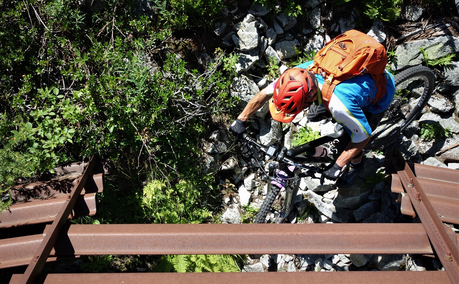
    So many notes that I get to split them with photos. Through the portal we go.

    **Extreme poverty is generally defined as living on ‘less than a dollar a day’ but that’s based on 1996 prices, so the world bank considers, for 2019, that extreme poverty is living on less than $2.16 a day. In 2018 an estimated 8.6% of the world lived in extreme poverty, in 1998 24% which is closer to thirded than halved, but there’s plenty room for error in the stats. Unfortunately, and in opposition to the general aim of this piece, the predictions are that for the first time in a very long time the percentage of people living (perhaps surviving might be a better term) in extreme poverty looks set to rise due to the SARS-CoV-2 pandemic. Which is shit. And also a reminder that the restarting of economies in the rich nations has knock on effects world wide if we stay with the current global economic model, or that if the world is going to change to a new more human/less $ focused system then we’d better do it quick sharp as time really is running out for a lot of people. Don’t worry though, the ultra rich still got richer so that’s good isn’t it.

    18/07/2020 Also, just to clarify and I should have had this in originally; Things getting better isn’t the same as things being good. 8.6% of the world living in extreme poverty whilst the richest 26 people in the world hold 50% of global wealth is a fucking disgrace and needs to change.
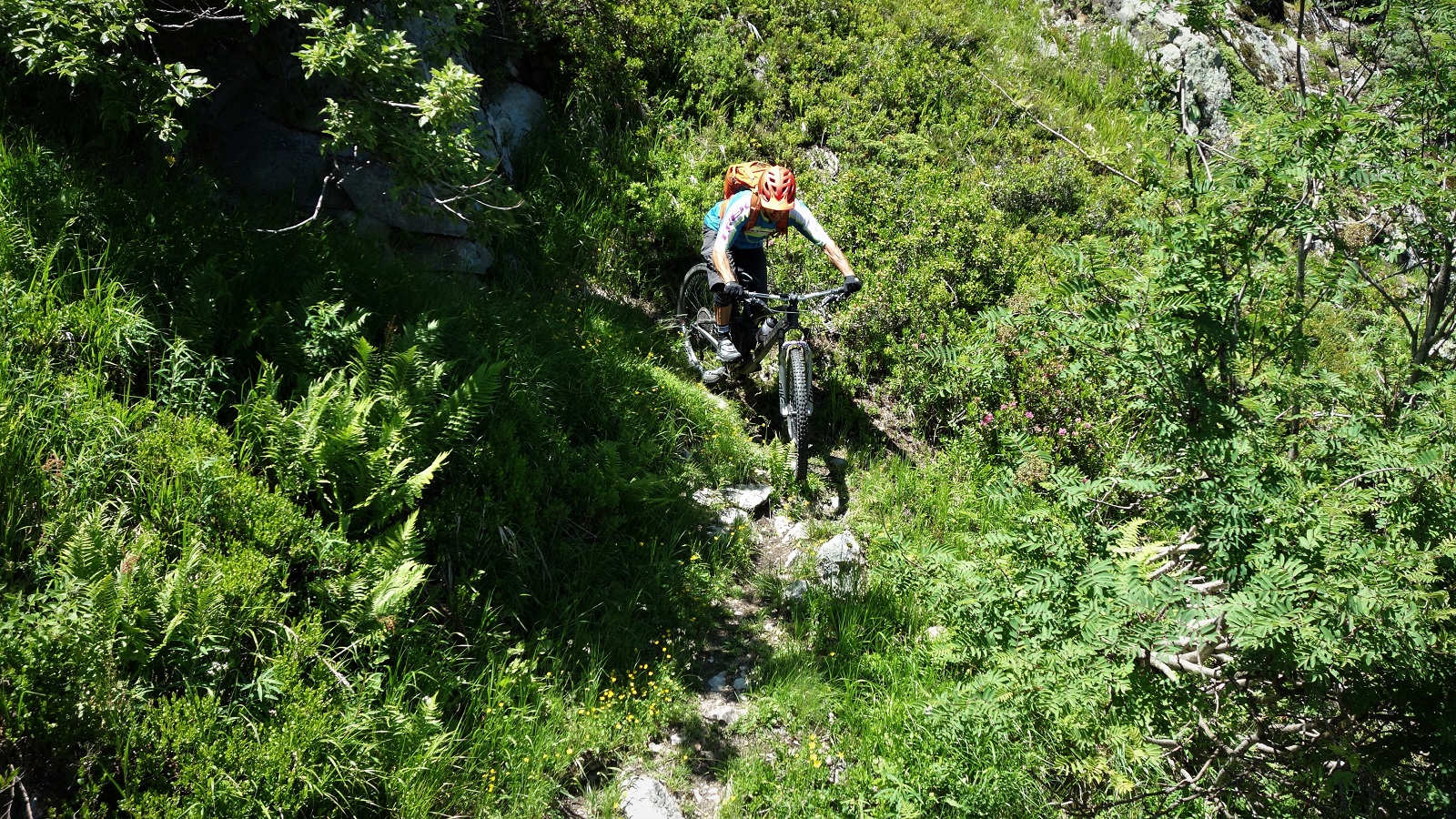
    Mmmm, steep tech fun.

    ***Interesting facts for all you die-hard, or at least die-of-preventable-illness, anti-vaxers: the very first vaccine was made in 1796 to neuter smallpox, a disease that was eventually eradicated thanks to that thar vaccination. Regrettably no double blind study was carried out 224 years ago, we had to wait over 150 years for that to start happening, but it does happen. Seriously, how can you believe despite all the evidence that these vaccines are unleashed on the public untested, how does that great conspiracy theory run through governments that can’t even get the trains to run on time?
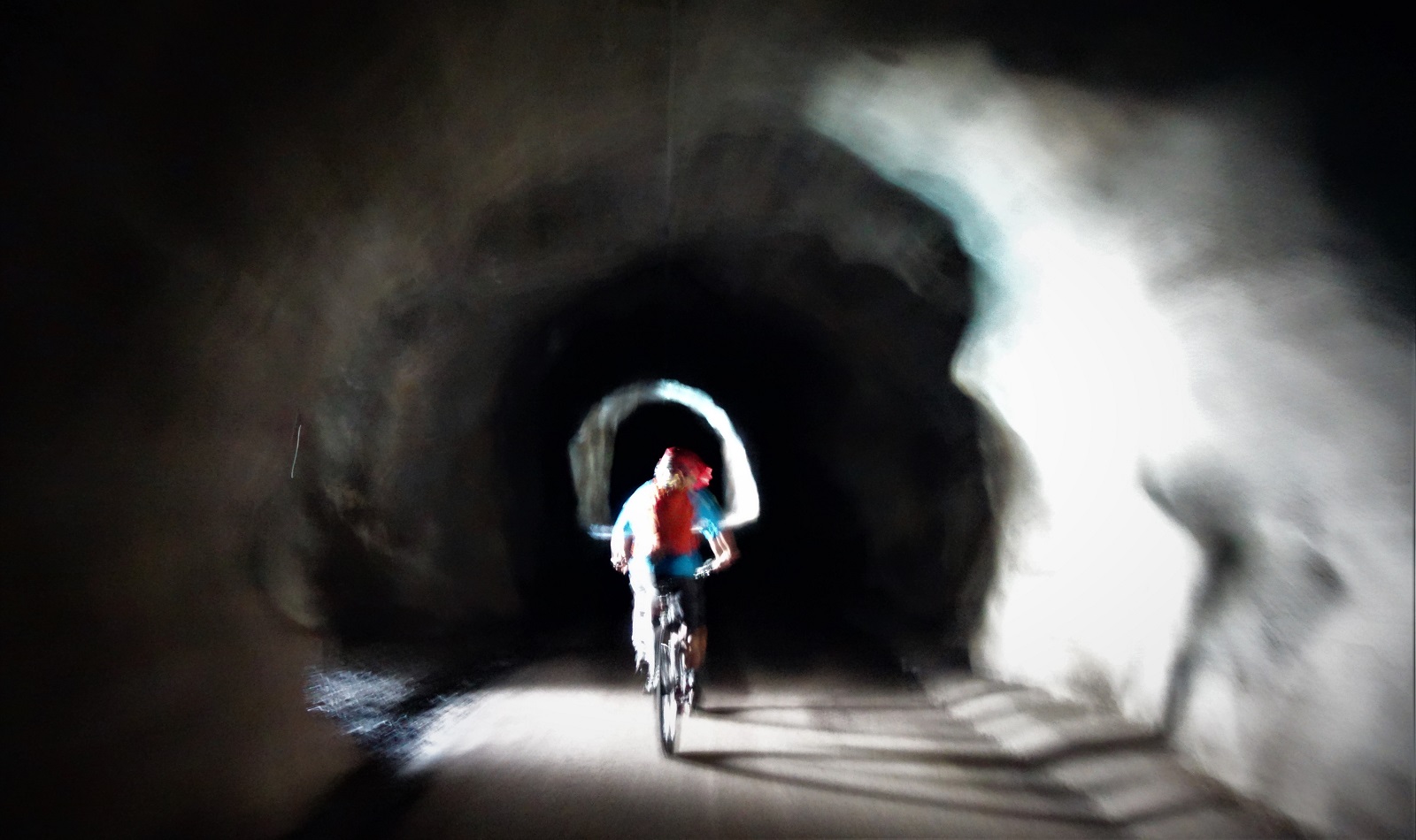

    Light dark light dark. Are you picking up on the subtle themes running through this post or do I need to lay it on more thickly?

  • Queyras

    Queyras Natonal Parc. Or Flowy McFlow Face.

    About now I should be busy working, showing riders mostly from the UK or US around amazing alpine trails that I know really well. But, whilst life is a fair chunk of the way back to normal here in France and most of Europe, the UK and US are taking longer to control the pandemic and a summer biking holiday isn’t on the cards for most folks.

    Lots of other MTB guides are in the same boat, so we’re off exploring new trails instead.

    We're not in Kansas anymore Toto. Fun fact, Toto the dog was paid $125. a week, the Munchkins between $50 & $100. (allegedly)

    Somewhere a little over four hours drive from Chamonix is a mythical place where the food is cheap, the sun shines 300 plus days a year, and the trails are the golden flowy perfection of bike magazine covers.

    David angling for a cover shot. I don't think the blog is quite the same.

    No, not Italy, the Queyras. And conveniently Emily of The Inside Line was headed over there to scout out more trails and get some quality #content to use to persuade the world that they should be booking a holiday with her to ride said trails. Which is why last week I packed up the car and headed south over a road bikers dream of cols. Dream / nightmare, the cols Telegraphe, Galibier, Lautaret and d’Izoard are things of legend. One for another day.

    Going uphill. Heat doesn't rise, it's just everything sweats when it fights gravity.

    As the trip was for a mix of searching out potential new trail gold to mine as well as filuming known trails there was a lot of working around the golden hours of early morning and late evening to get the perfect lightbro. I hate mornings so was happy to be starting out at the respectable time of 5pm to go and bag our shots.

    What goes down must go up. Like the graph of a second wave.

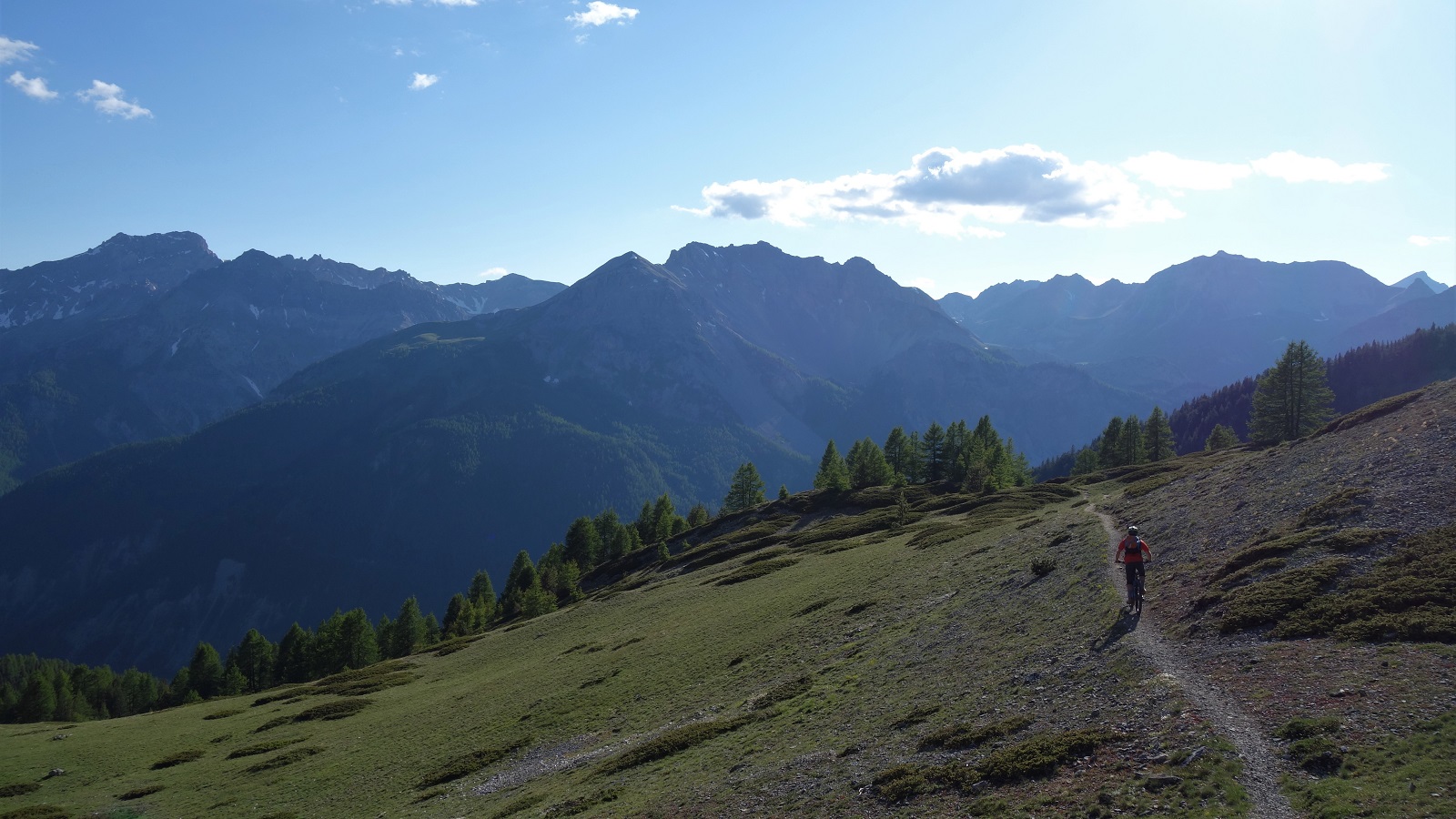
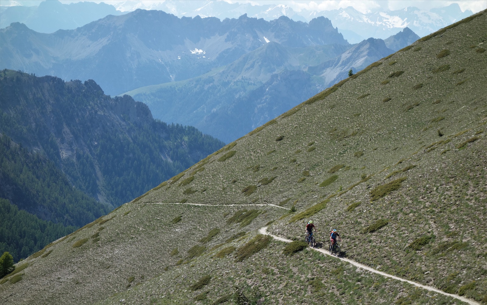
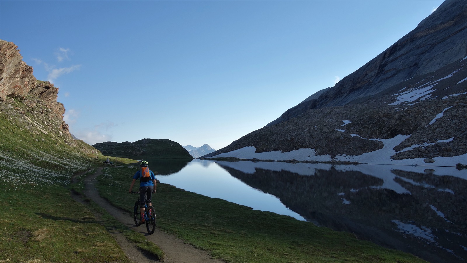
    Sure enough, an hour or so of pedalling from the Col d’Izoard later we were above a mountain lake, staring towards distant mountains that framed a sinuous snake of singletrack, and bathed in soft evening light.

    Oh look, singletrack bathed in evening light.

    …and discussing how best to shoot it. Which usually involves riding the same bit of trail several times over to get footage from umpteen angles whilst I alternate between washing out the front wheel and forgetting to turn when I reach the corner. Pattern set for the week.

    Shooting done we could enjoy the hundreds of meters of flow through the forest, and move on to the carpark that would be home for the night.

    A different day and a different descent, but it carries the mood.

    Sun comes up, time to ride bikes again. We pedal through the ever so slightly odd village of Abries, and up tarmac then gravel towards the morning’s objective. Slightly odd, very odd might be better. For reasons none of us felt like exploring, Abries has chosen to populate the sleepy streets with assorted stuffed mannequins performing the mundane tasks of everyday life. Whatever gets you through lock down.

    This is not a trail above Abries. Well, it kinda is, but not the trail currently being talked about.

    Every meter pedalled was a meter away from the village and towards our trail however. A lovely thing of a trail. Starting up by an idyllic alpage, swooping serenely alongside a meandering river, in and out of copses of trees and meadows of alpine flower, round a mellow unsighted corner, into an obligatory gap jump drop over sharp spiky shale.

    Said gap over said shale.

    It was a slightly unexpected change in character, mibbies the unstable terroir explains some of the unstable mannequins? Eitherways, it was dispatched and photographed and we continued on past churches and yet more flow. A reminder that alpine trails pretty much always have a surprise of some sort for you.

    David on trail, Emily piloting drone to get video, Graham hiding under the eves of a church out of sight of the drone getting snapshots. It's how the magic happens.

    If the morning’s trail was about getting footage, the afternoon was about checking out a promising looking line Emily had seen on the map. Without the shuttles you have when guiding it was going to be a bit of a pedal, but how bad could it be really?

    Up some road, then some gravel road, then some 4×4 track, we should be able to pedal all the way to the top. And we could, but it was definitely a bit more than any of us had accounted for. Talk turned to trail snacks, peanut M&M’s, Bombay mix. All our food was long eaten.

    "You can't eat beauty" which is a shame as chowing down on the view back to the climb would have been really welcome right about here.

    No matter, the views were grand and we traversed happily round from the top of the climb to the start of the descent. What did matter was the trail had washed away. A work around was found, and lo, it was flowy.

    Light's not quite right here, but the mountains look mint in the background, and there's just enough dust getting kicked up to give you an idea. It was a right good trail.

    It stayed flowy. From wide and open top, into thin, then thicker, trees. Snaking straights with sick hairpins. Seen just enough traffic to have a bike line worn in, but no danger of brake bumps. Banger all the way to end. Best trail I’ve ridden in a long time.

    We got back to the van under cloudy skies and destroyed every unattended salted crisp, peanut and beer bottle in the van.

    A shot from earlier in the day, when it wasn't quite as hot.

    Another morning and blue sky again.

    We were going for another explore, a look into the unknown, but with the comfort blanket of sections of the trail having been visited before. Known unknown’s if you like. After yesterdays unknown unknowns we stocked up on stoke, food and drink. That mistake wasn’t being repeated.

    This shot was taken from a shaded bench where I was eating my sandwich and drinking water I'd just got from the fountain 5 meters away. It's a wonder we left.

    The climb was hot and sweaty, 1250m of up in the middle of the afternoon so you can summit in time for golden hour is only ever going to be hot and sweaty, but with some picture perfect wee hamlets to stop in and some stunning cols to admire the views from, it could have been a lot worse.

    If you're going to climb, you might as well do it somewhere picturesque.

    Even better, the trail to the 2500m summit that looked pretty marginal on the map turned out to be one of the most rideable bits of the climb. A rewarding bench cut track working its way round corners that kept revealing more views and more interest. The reccy bit of riding is where it’s at. What’s over the next ridge? The joy of exploring that got so many of us on bikes as kids.

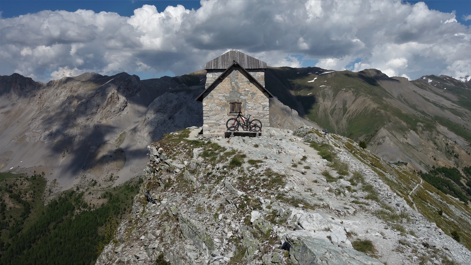
    Bike in high place. Some fine product placement of my Airdrop Edit.

    No matter how agreeable a climb, 2545m is 2545m. A semi derelict observatory post was a fun distraction, but we all needed the rejuvenating powers of cheap sugar and e number laced sweets to get us ready for the descent.

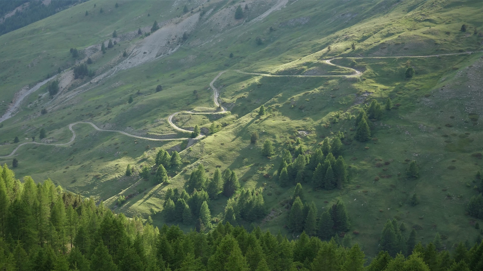
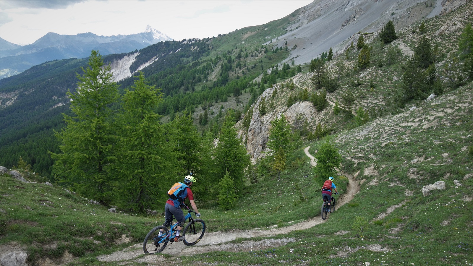
    And whit a descent. Bit loose up high on the grey rock, but fun. Contouring round the hill inbetween hairpins. From the Col de Fromage a wee traverse drops into a Queyras classic. Maybe a few too many rocks on the trail to truly call it flow, but shit tonnes of fast straights and just supportive enough corners.

    Part way down the down.

    Turning off the worn line to cross a bridge and the trail changes character. Less angle but still just enough for you to pump more than pedal. A lot more than pedal. Beautiful swooping balcon trail through a stunning forest with lush grassy forest floor. A briefest of shower from the clouds that had been building all afternoon couldn’t ruin the mood, just improve the light. Sunlight dappled through the trees with beautiful rain drops.

    This is actually much higher up, but without the go-pro footage of the stunning forest trail, it's the closest you;re getting.

    It ended back in the village, 10m from the ice cream selling gite. Result, best trail I’d ridden since yesterday.

    We packed up the van and headed on out and up.

    Col Agnel is the 2nd highest paved col in France dontchaknow. And has view things.

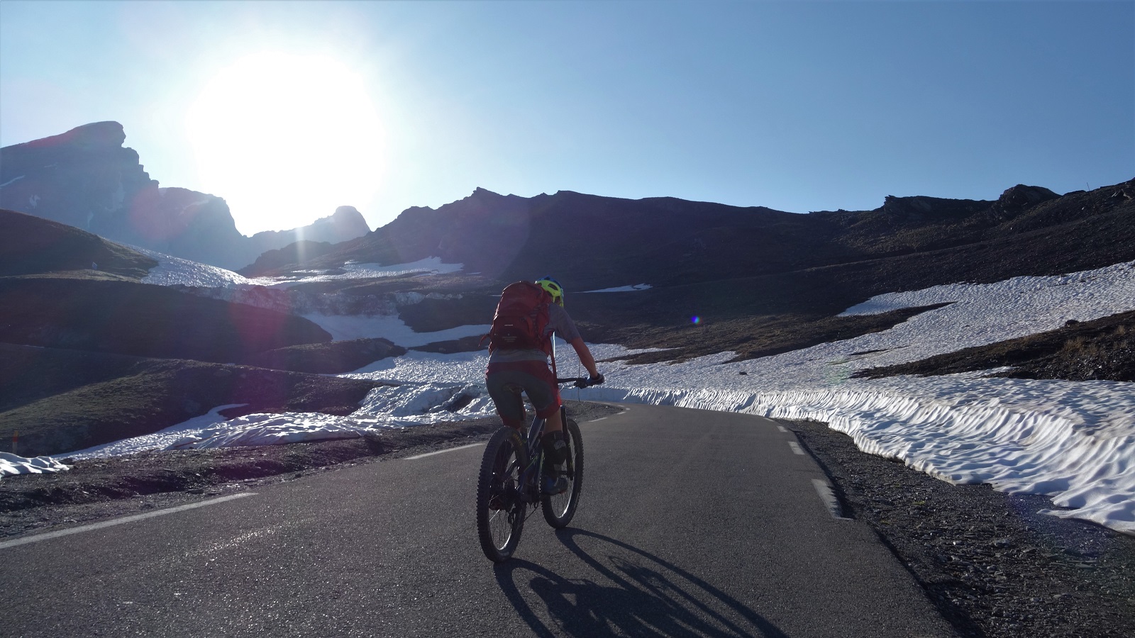
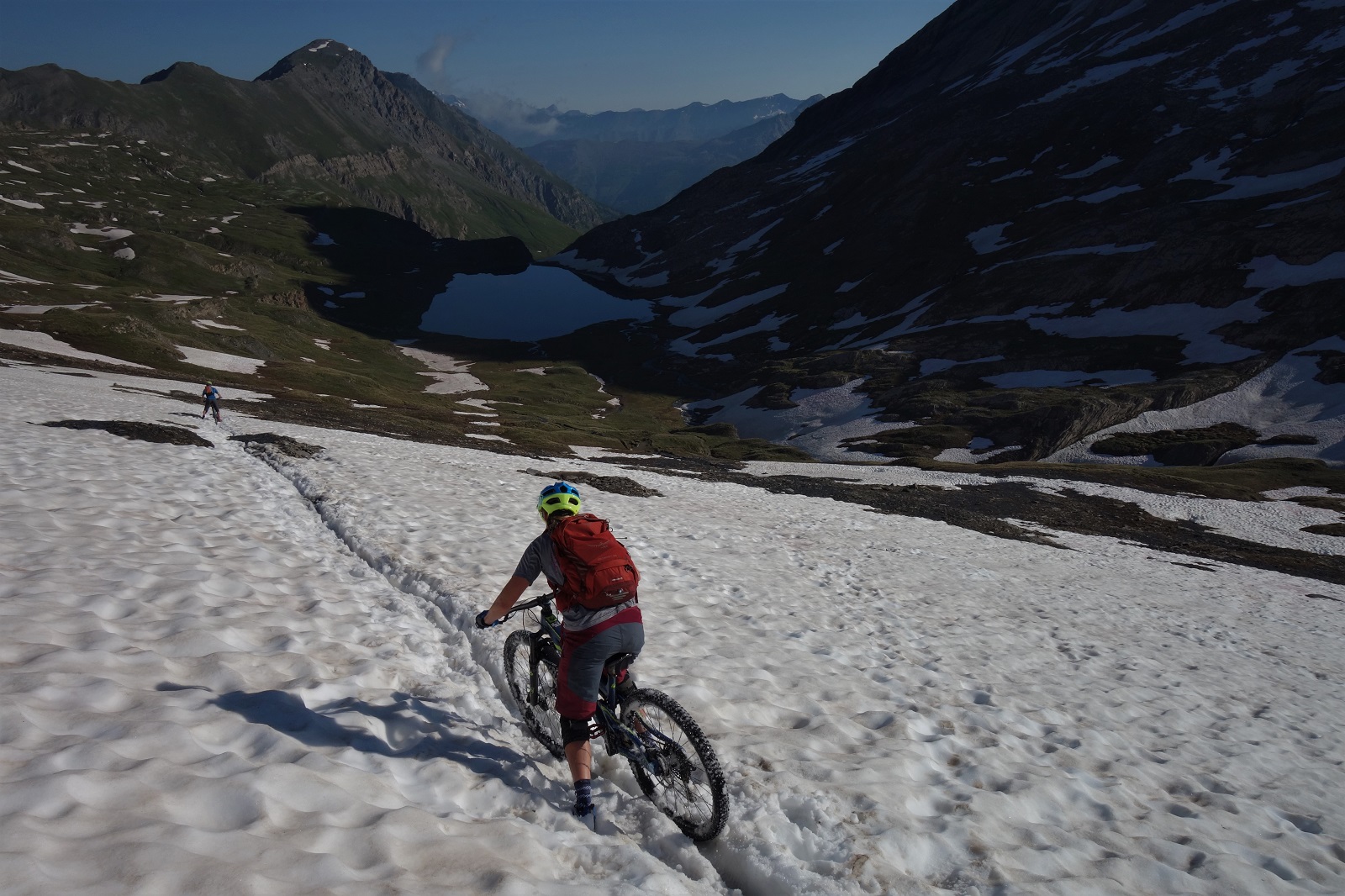
    Camped nearly at the top of the Col Agnel, we were poised to be at the top of the climb in time to catch the light whilst getting started as late as possible. At nearly 2700m the air is pretty chilly and a little thin, so we were all a bit tired and grumpy by the morning. We pedalled up the last of the road towards Italy, then over bog, path and snow up to the Col Vieux and the col view.

    This is the reality of shooting stuff. Being up so early the sun is weak enough to stare directly into.

    This last big trail was one Emily and David knew well, so the surprises were all mine on the way down and with about 1300m to descend there was plenty of opportunity to surprise. Even once we’d left the high alpine and settled into what felt like familiar Queyras flow territory the trail turned into a cobbled highway. Not one of your nice flat cobbled highways either, a wall to wall wtf of rounded stones at all angles and heights. Pick a line and stayed loose.

    Pick a line and stay loose. Top technique advice for pretty much any terrain you choose.

    We cruised back into Abries where we’d left my car days before and headed for morning crepes only the cafe was closed, so coffee it is and on to the next village for a boulangerie lunch.

    Before lunch. Long before lunch. We can't even see lunch from here.

    The weather hadn’t quite broken yet, so why not try one last unexplored line highlighted on Emily’s map. Traverse for 20 mins then fast fun through a burnt forest reclaimed by a carpet of flowers. But with the odd (very odd) slab and tech to keep you on your toes. Fitting end.

    A slab of definitely not gabbro. More of a drop than you;d like to riders right.

    Driving home the weather finally broke. Not far up the road to Col d’Izoard the thunder started to be accompanied by lightening, the spots of rain became a torrent became hail. The road went white. Or yellowy brown. The Izoard is possibly the most beautiful col I’ve been over, but not in a storm when the slopes get washed across the road. Where were those 300 days of sunshine now?

    If you move quick enough, you'll stay in the light.