Category: Road trip

  • Backpacks in the bikepark // Pila

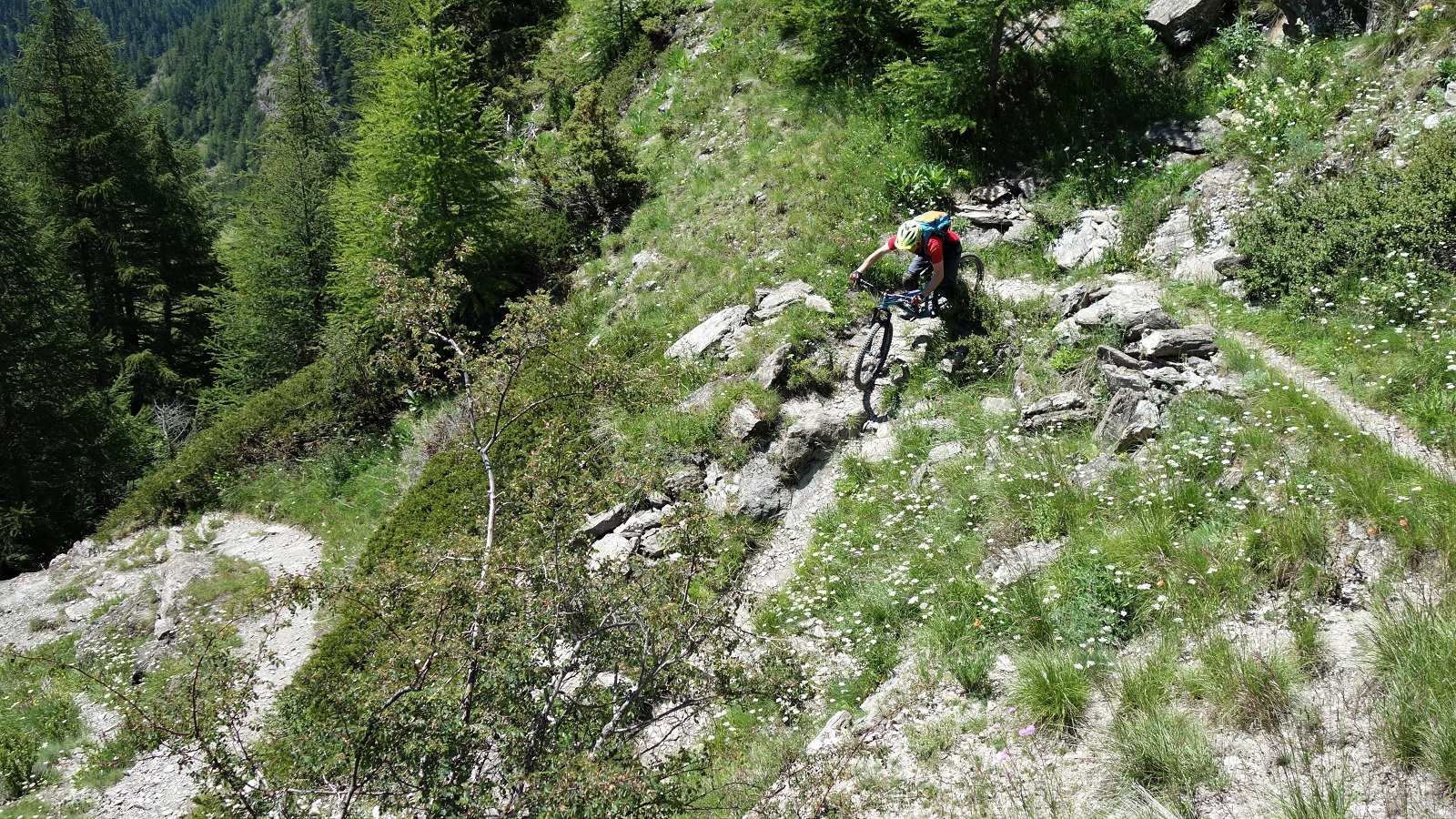
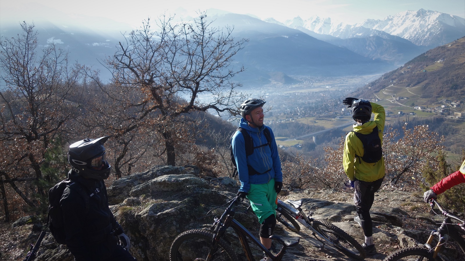
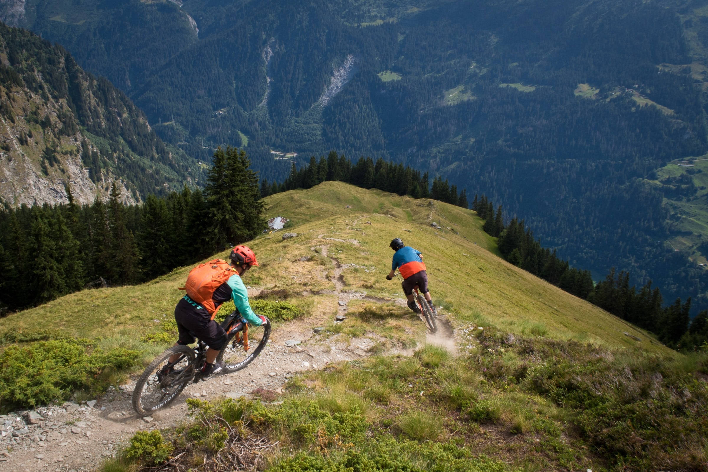
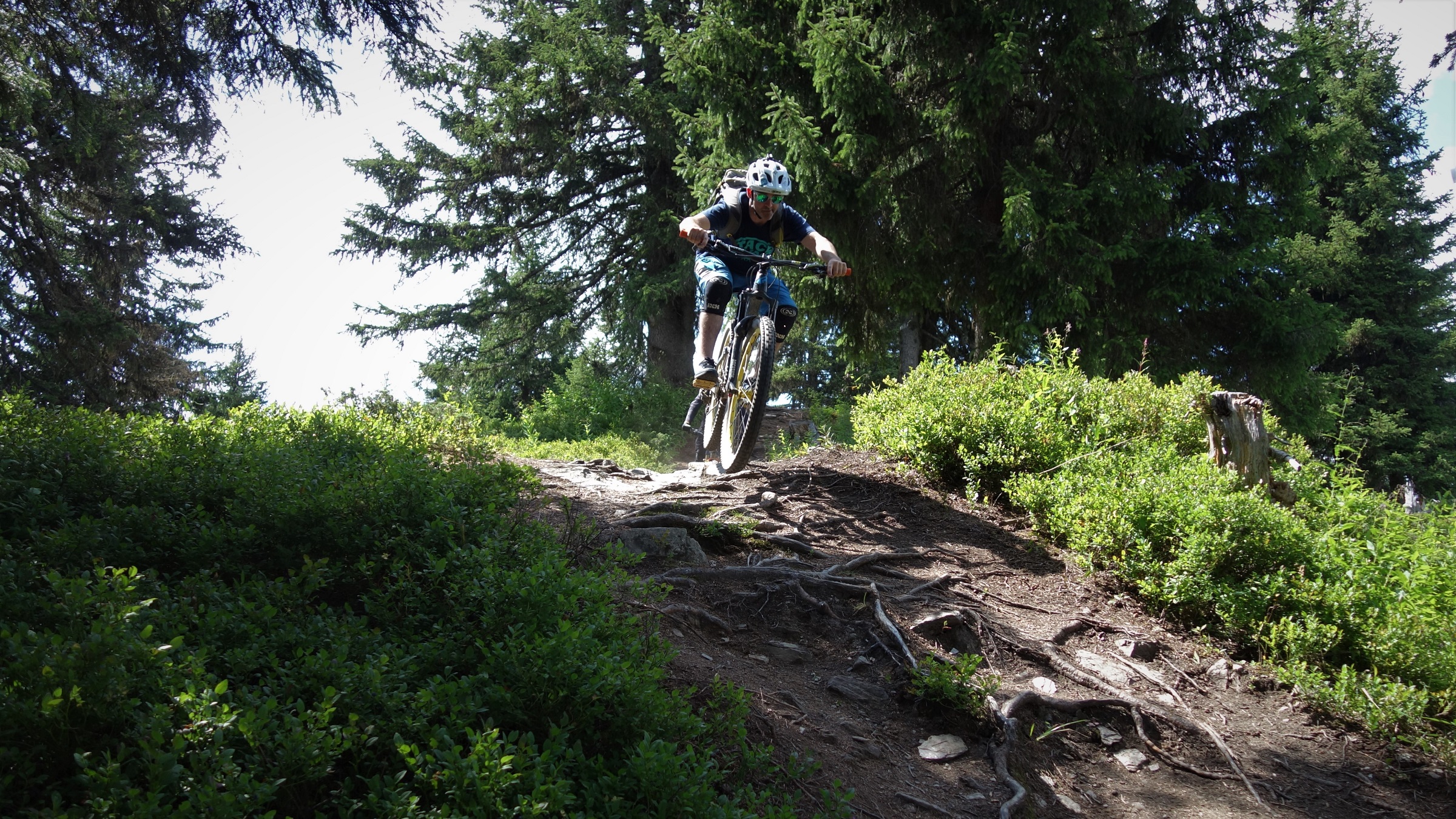
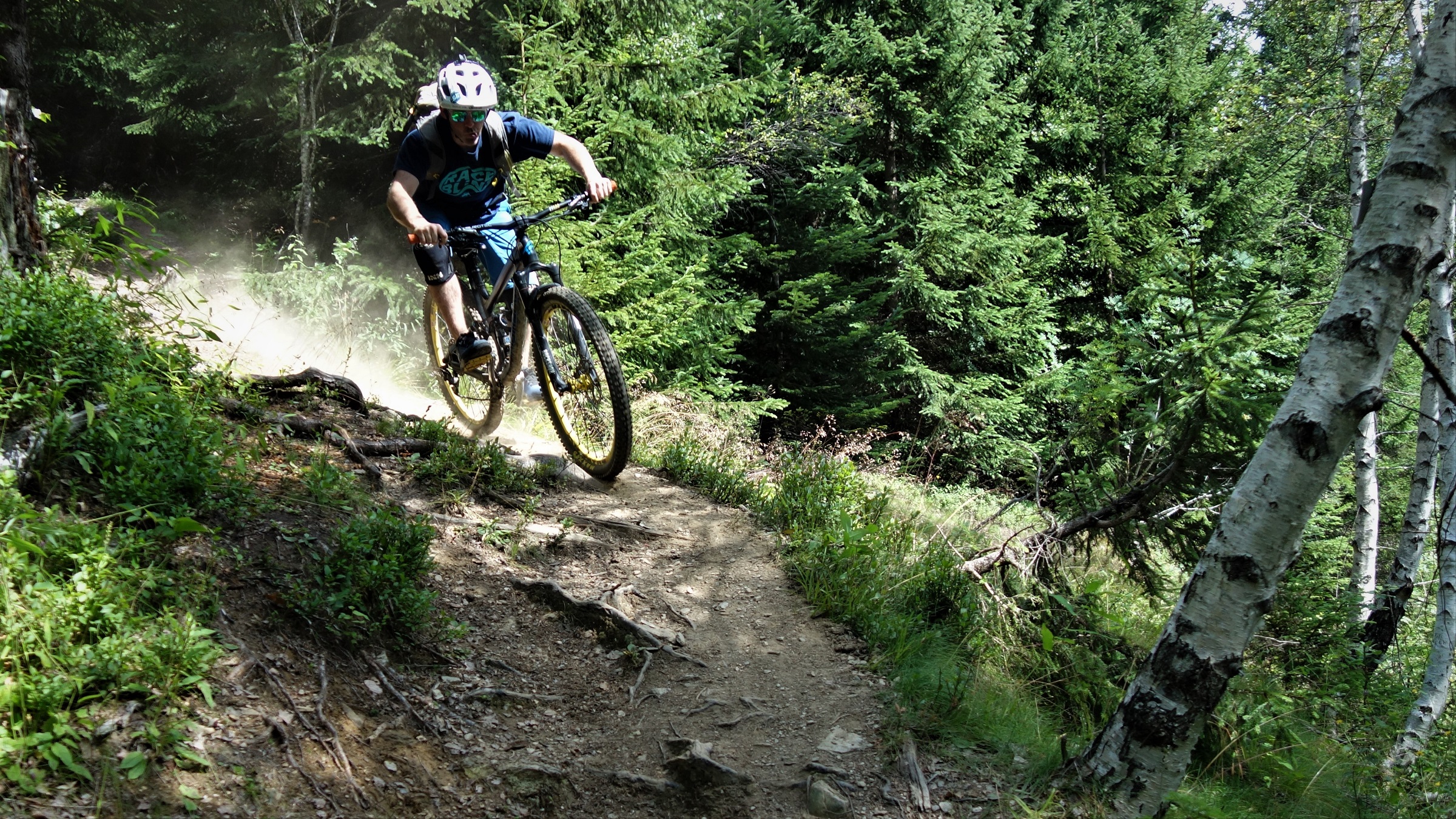
    Pila Bkepark. Toby's wearing a backpack in this shot, but you canny tell, so it's ok.

    Ninety six percent of the human body is made up of just four elements; carbon, hydrogen, nitrogen and oxygen*. As best science can currently tell us, the only way to form these elements is inside a star. The nuclear alchemy at the centre of a distant supernova, eons ago, created these atoms and flung them out across space. In the void of the galaxy, their tiny gravitation forces slowly drew them to other elements. Greater objects exerted greater draws and eventually they were pulled on the fused ball of spacedust we know as earth. Over further millennia these same atoms formed the building blocks of increasingly complex organisms. Bacteria, virus, plants, fishes, mammals. Finally, in 2020, these bits of actual stardust, form us.

    With such an improbably fantastic heritage inside us, what have we been inspired to achieve? Mixed bag really. After that amazing journey to arrive where we are you’d think it would be easy enough to accept science as it is, you wouldn’t have folk claiming the earth is flat, that people of slightly different skin colour deserve to die on a beach, 5g gives you coronavirus and vaccines aren’t tested, all because it sounds too complex, too improbable. But we do, blame the solar system.
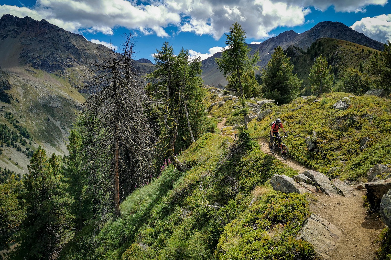
    Any of the atoms in this picture, in the screen you are looking at it on, could have existed since the birth of the universe. Just have a think about that for a minute. Or 13.7 billion years.

    There’s been some good stuff too.

    Like Italy.

    Coffee, ice cream, stylish engineering and Pila bikepark. These four elements may not be as vital to life on earth as C, H, N and O, but they compliment them well.
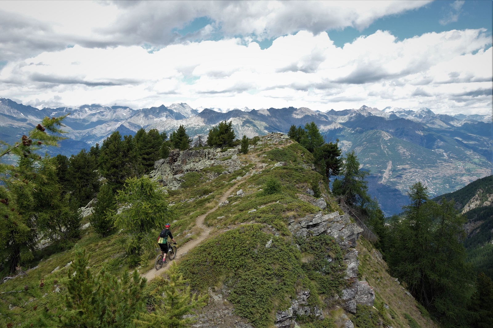
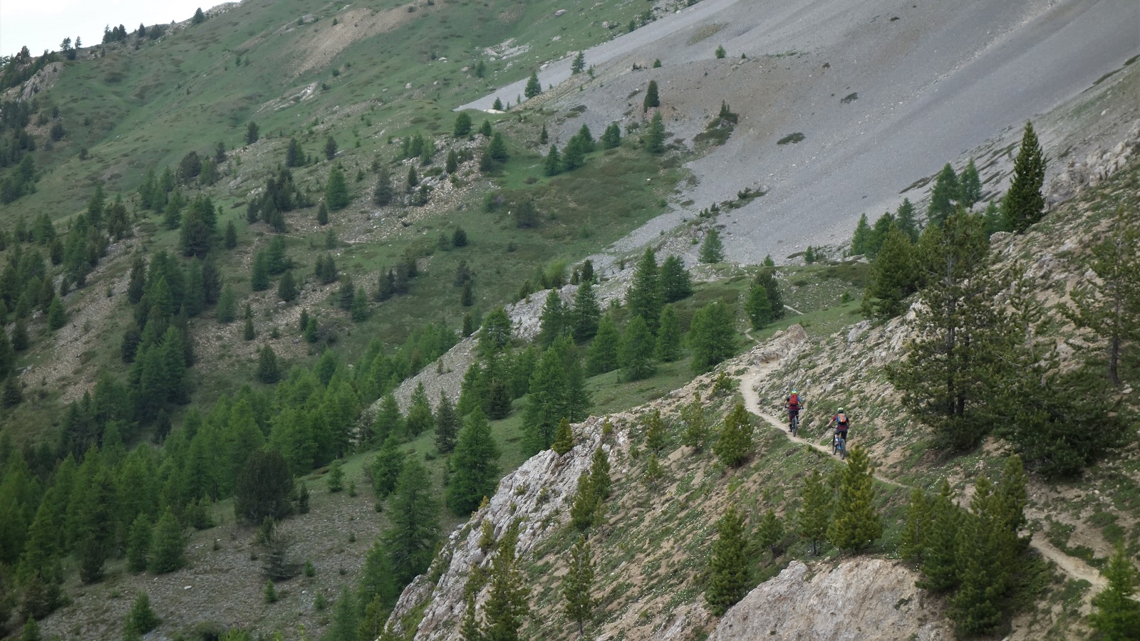
    Mmm. Ridges. Been riding a lot of ridges recently.

    So Pila, yeah, it’s all that.

    Unfortunately I only really get to ride the lower section due to summer work clashing with opening dates but with the selection of atoms know as SARS-CoV-2 limiting that, best make hay whilst the sun shines.

    Which obviously it always does in Aosta.
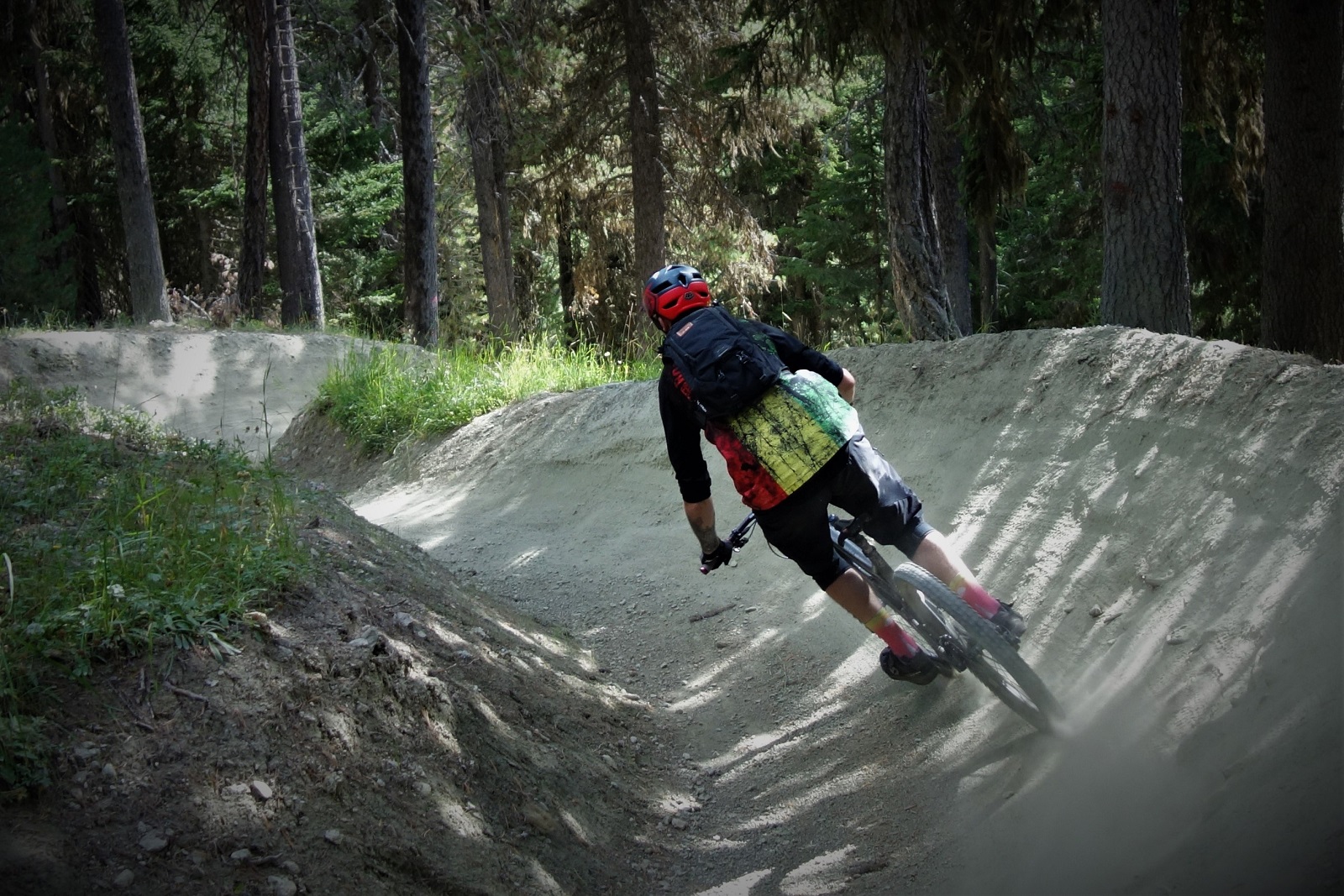
    Bikepark. Why would you hate on this?

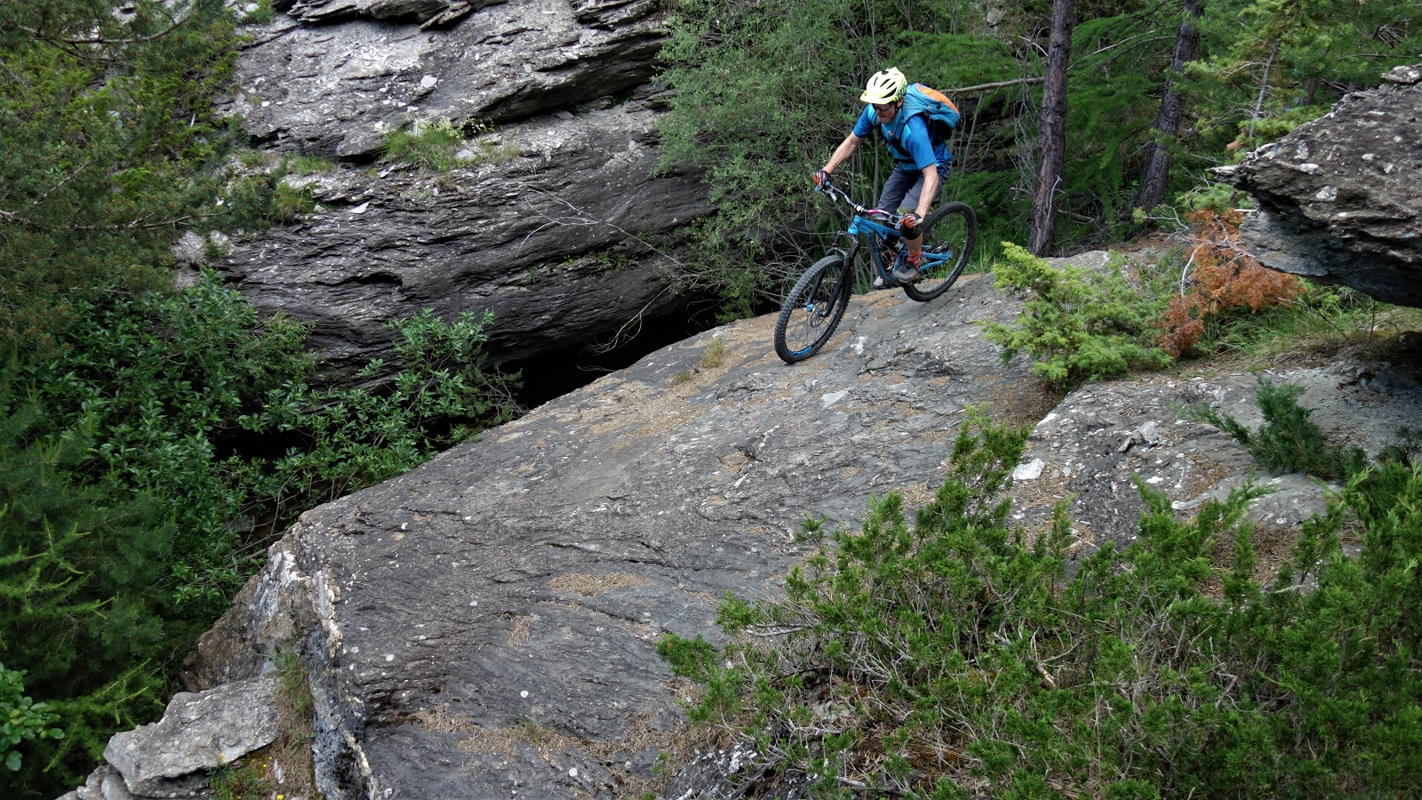
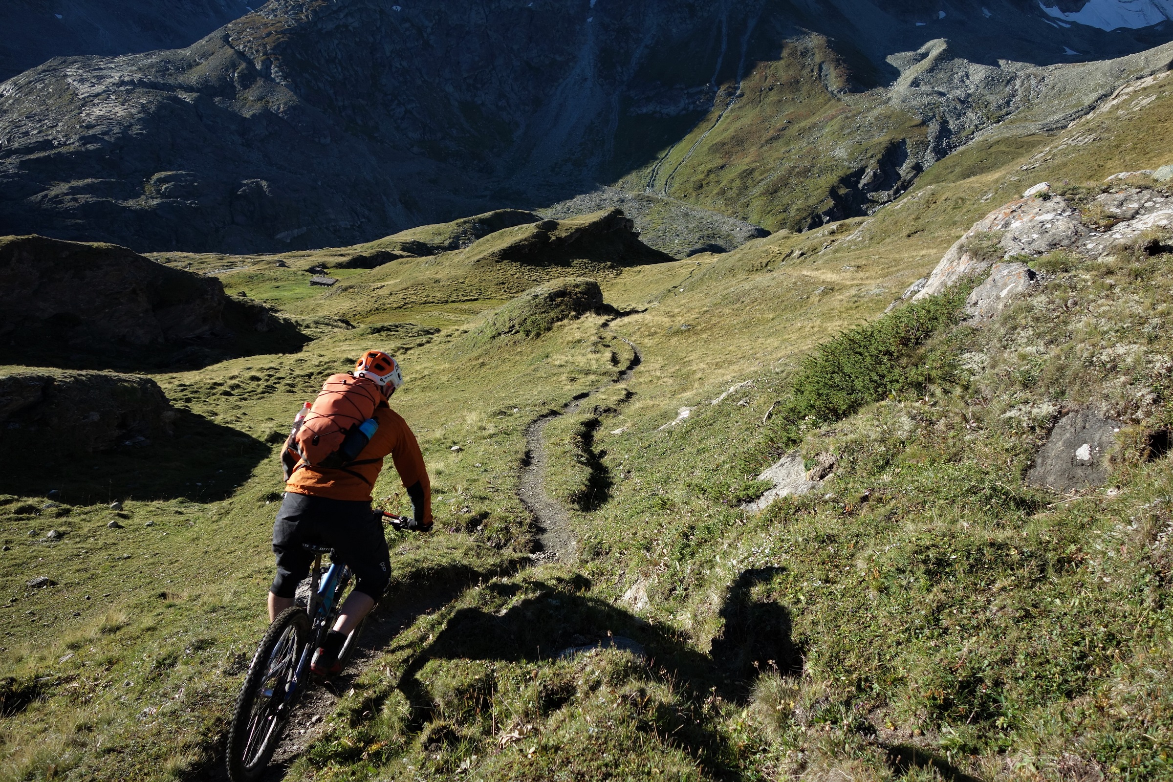
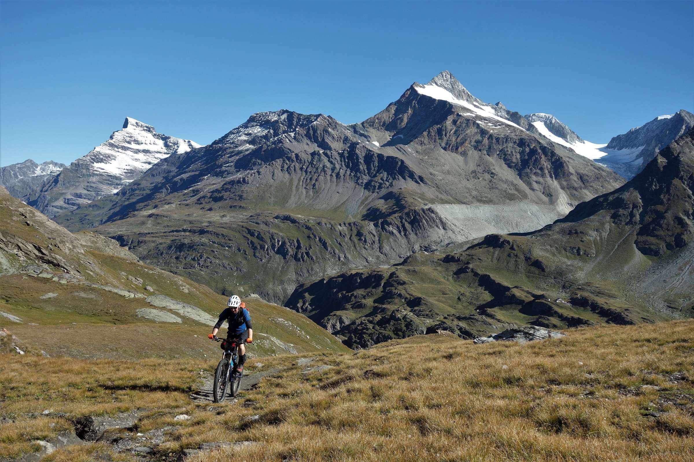
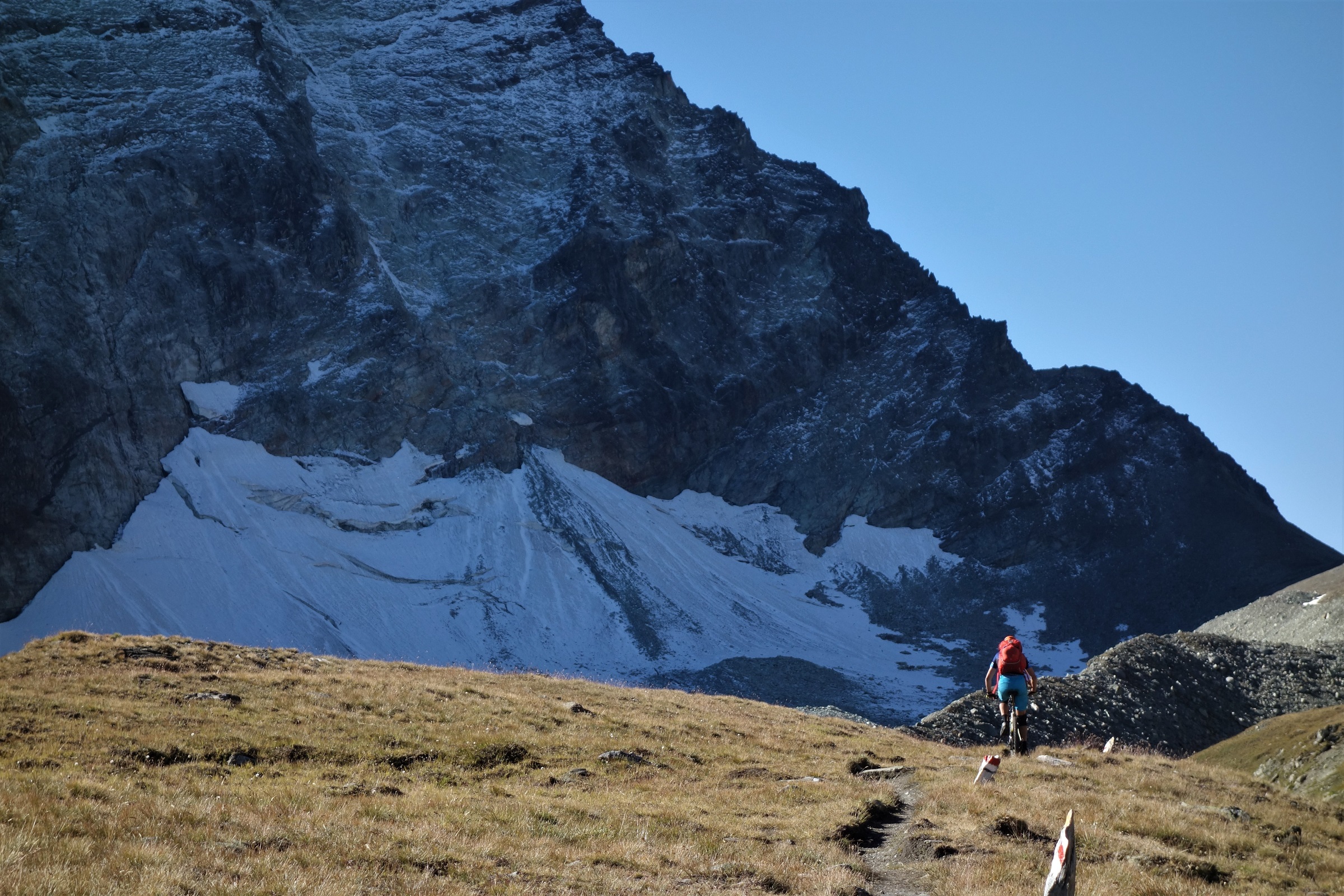
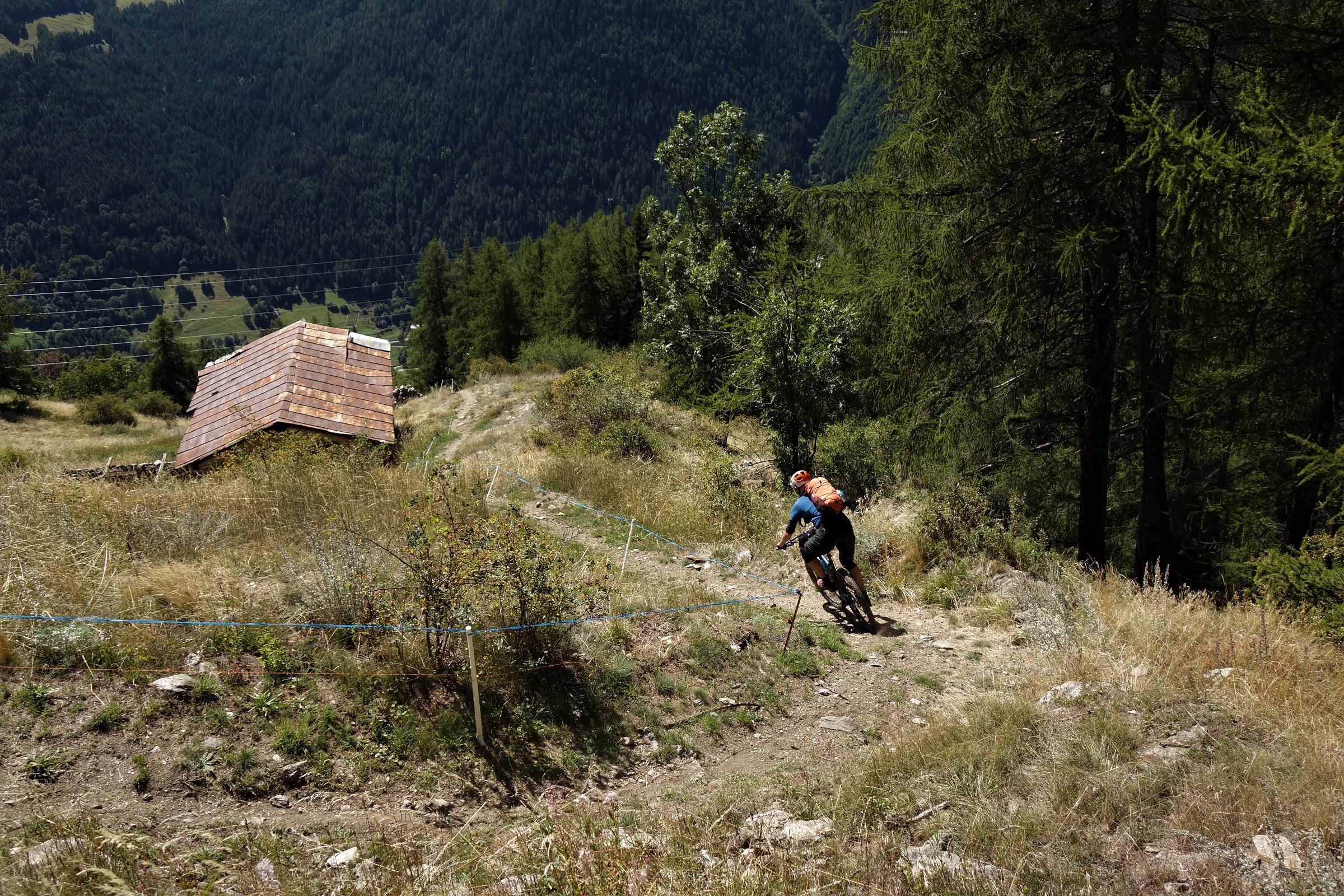
    The bikepark gets all the attention on the socials, and it is right good with some new to me trails and features since I last lapped the Chamole chairlift in 2018, but if you can handle the fashion faux pas of wearing a backpack in the bikepark then the stuff you explore to from the lifts but outside the tape is every bit as good…
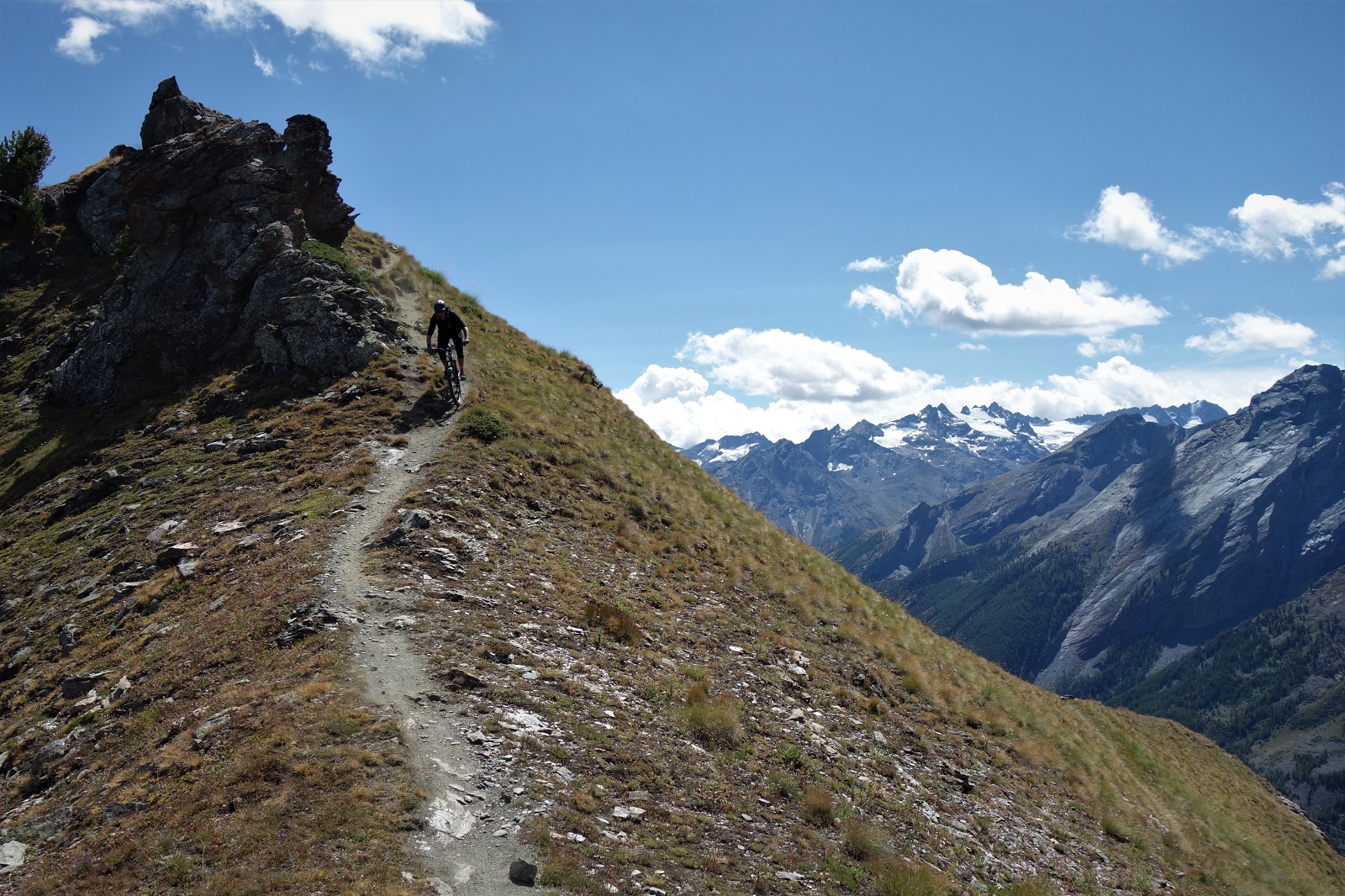
    Not the bikepark. Why would you hate on this?

    Traverse from the top of the Chamole chairlift along a newly built blue flow trail and you’ll quickly arrive at the Couis 1 chair. Assuming it’s running (it closes Sunday 23rd this year) and you’ll then slowly arrive at the top.

    Really slowly.

    Took us 30 mins bottom to top, so it’s just as weel the views are good. They get even better at the summit as the Cogne valley unveils itself below and your eyes get drawn to the ridgeline stretching out towards Aosta town.
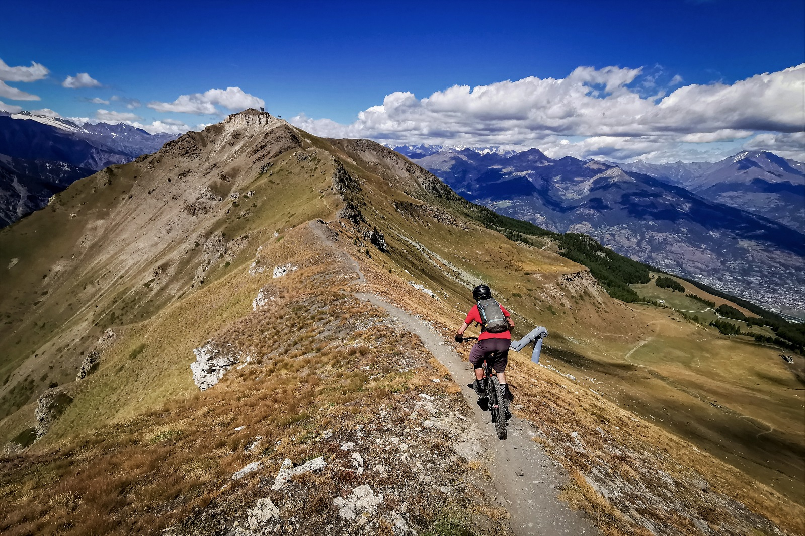
    Said ridge.

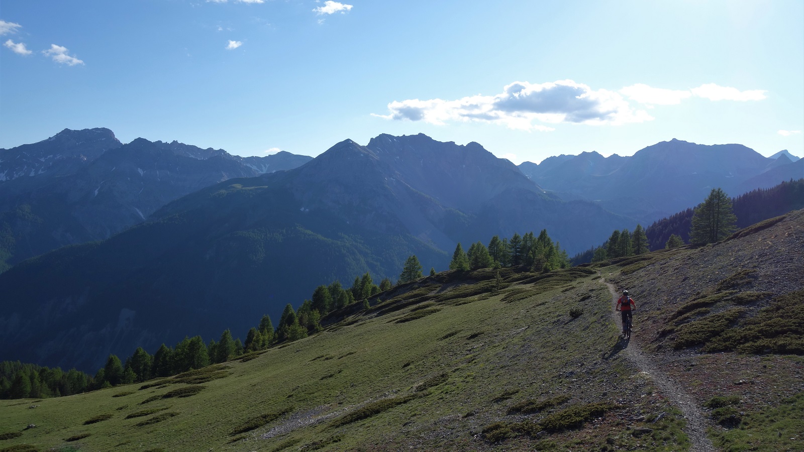
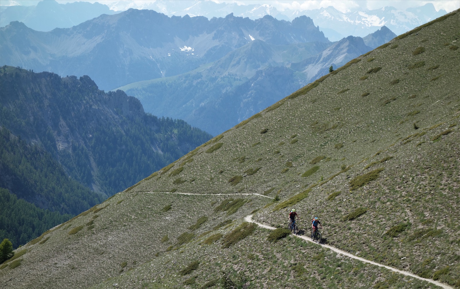
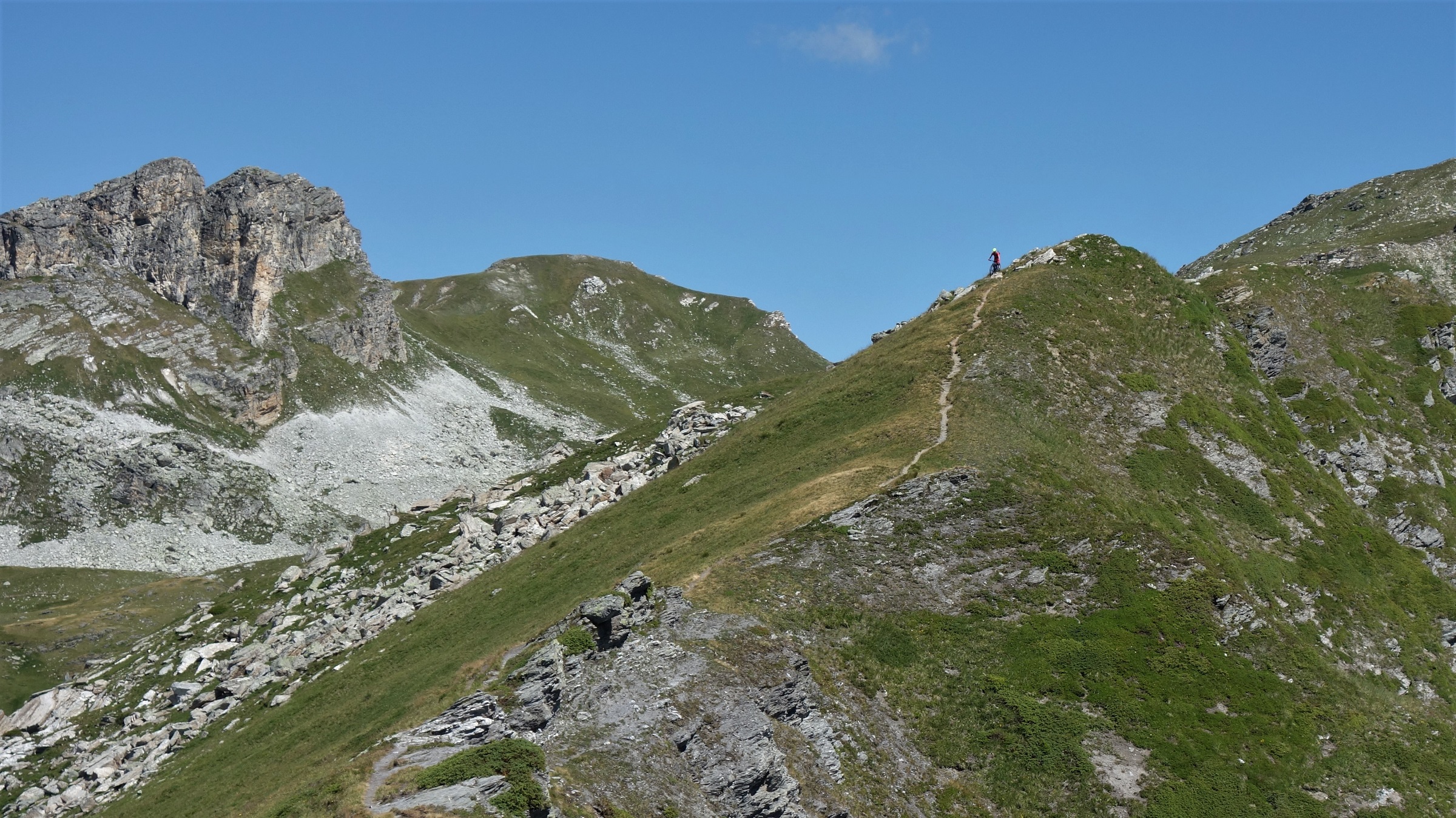
    You can ride that ridgeline, and if you like ridgelines you should. Then you too can take photos like these.

    Look like your cup of tea?

    You need to make choices though, turn off left to ride to Cogne (we didn’t), keep going all the way along the ridge to join walking trails 23 and 21 to the valley floor (again, we didn’t, you had to climb a bit, too hot for that game), or turn off right to rejoin the Desarpa trail that winds it’s way back to Pila for more coffee and more fun.
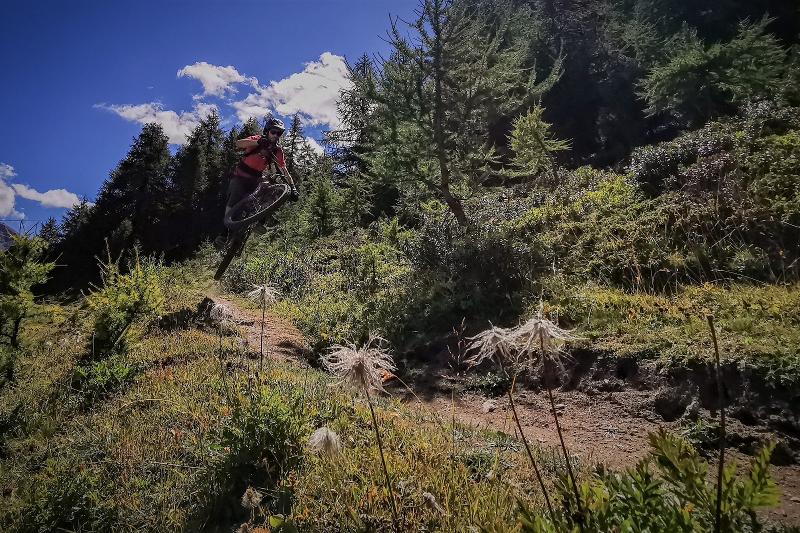
    Pull up and look optimistically at the backside. It;s a still so no one will ever know if I made it.

    After dingying a climb at 2600m altitude, we instead climbed from the top of the Chamole chair at 2300m. The air was a bit denser, or we were. Either / or.

    It’s just a short climb to the Lago Chamole though, then another short climb onto the Testa Nera ridgeline. Definitely got a thing for ridgelines these days.
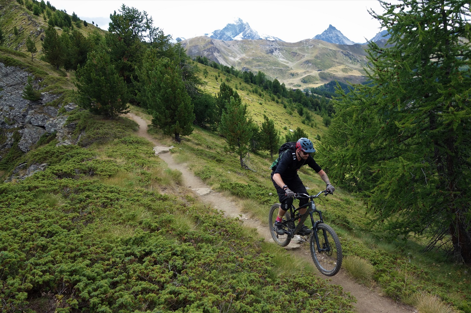
    Chamole muddy funster. (now that is a niche joke)

    Again we eschewed the classic choices for a bit of exploring. Where normally you’d turn right for long descending adventure or left for a quick and enjoyable return to the lifts, we went straight.

    Then wandered about in circles a bit, turned around, went back to the junction, tried going straight 10 meters further to the left, and found what we were looking for.
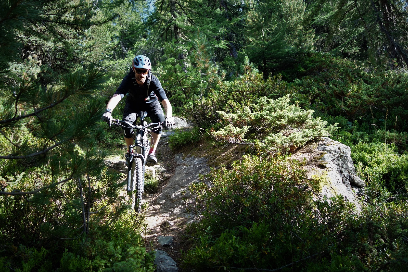
    A little overgrown, but still grand riding.

    Unfortunately it seemed no one else had been looking for a while as the trail was a wee bit overgrown and unloved. A shame as the basic shape of it was classic Aostan gold but them’s the breaks.

    And it really wasn’t too shabby where it wasn’t too shrubby.
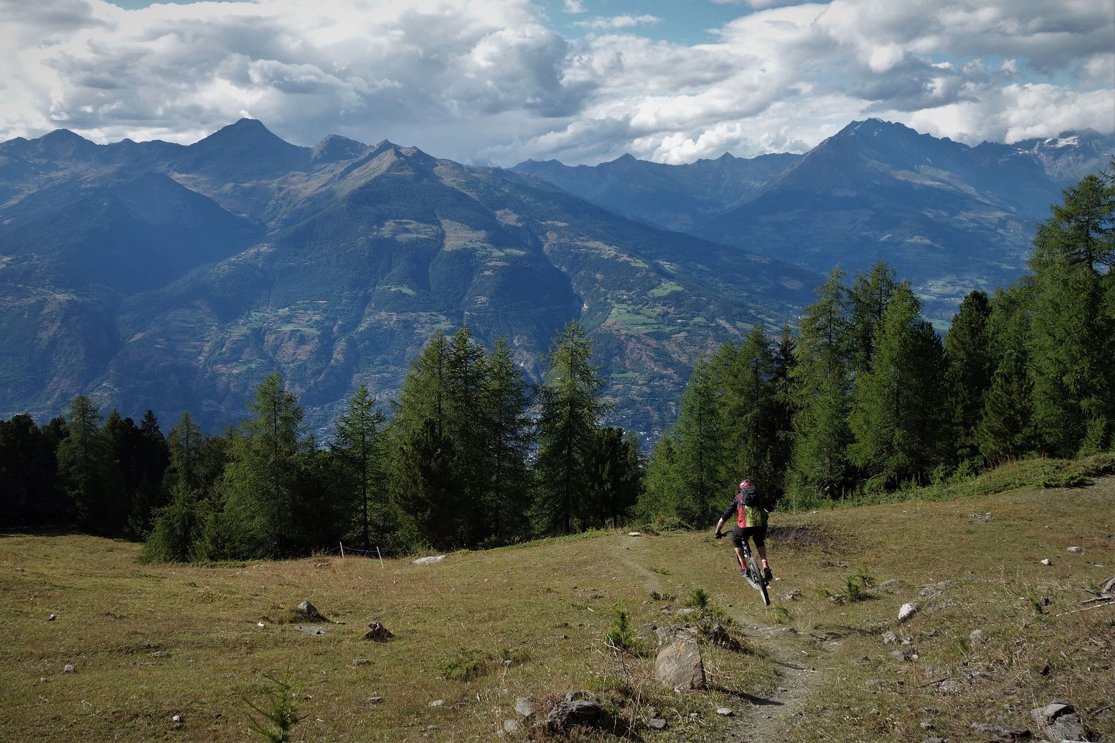
    Still a long way above the valley floor (trademark Alpineflowmtb Guiding) but heading down quick.

    Assorted trails later we were at the valley floor, where it was too hot to hang about so headed straight back up again and stayed up high until the lifts closed and we figured we’d have to head for home.

    Via ice cream obviously.
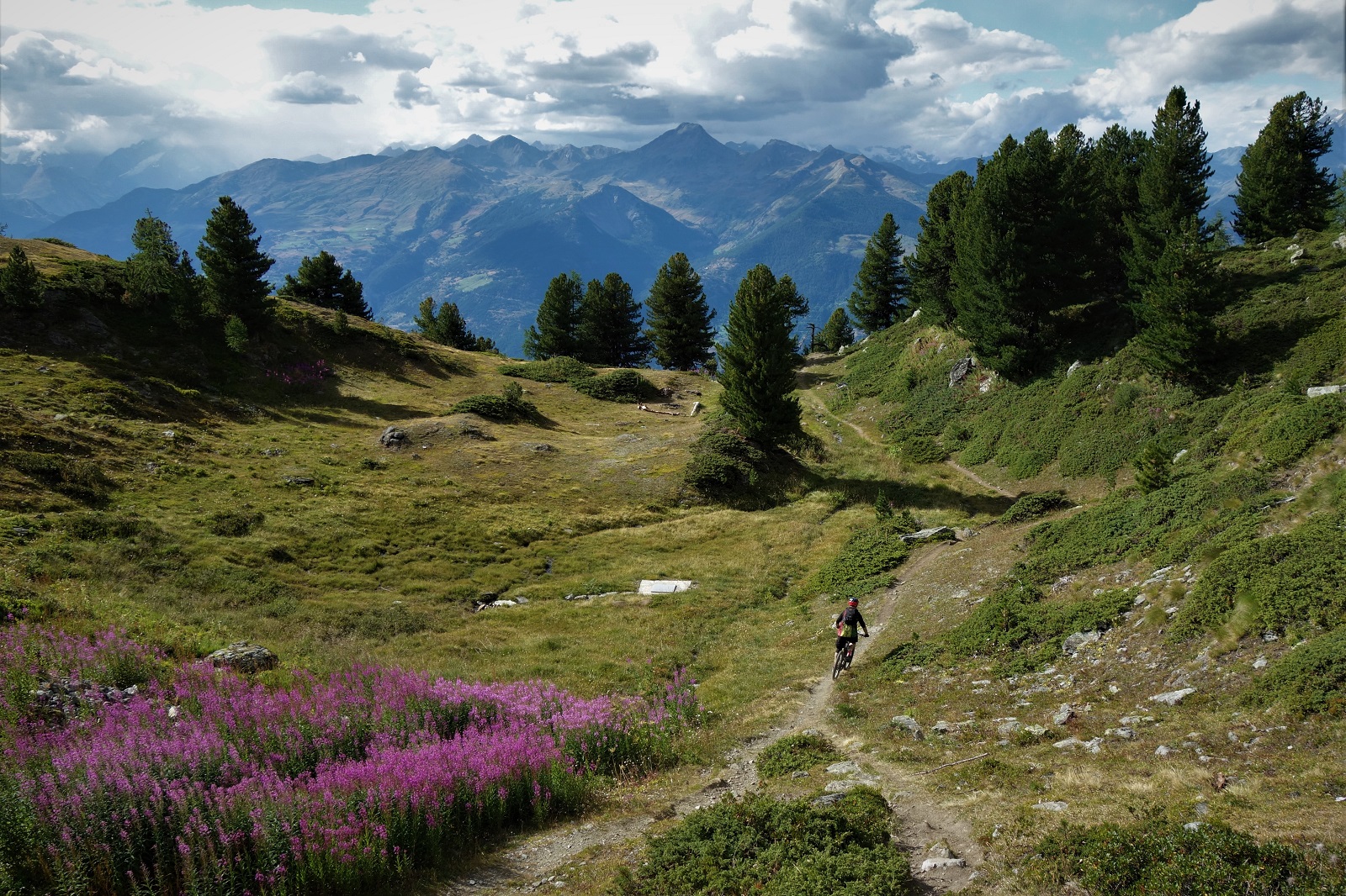
    From Chamole to Gelato. It sounded better in my head.

    Pila; we are stardust, we are golden.
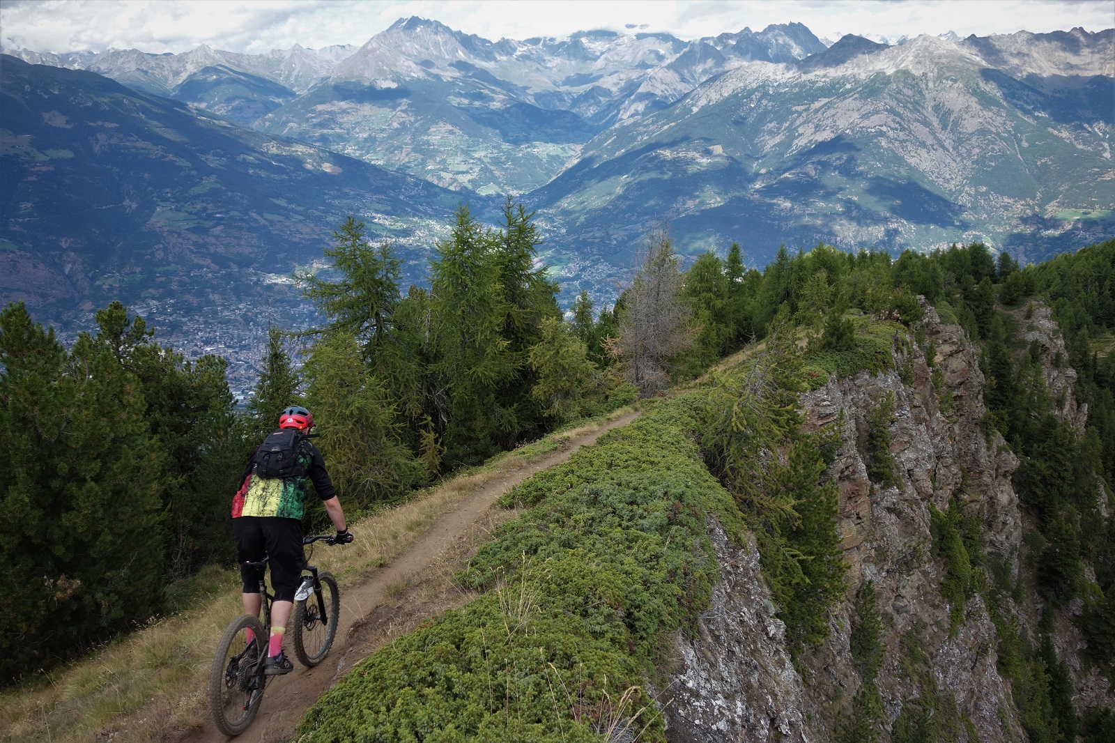
    There's a trail to the right, but it's better to join it a little further along the ridge.

    All pictures of me taken by Toby, on his bloody phone! All pictures of Toby taken by me on a Sony RX100 which I’ve gone back to playing with the dials on and as a result most shots are out of focus, over/under exposed, too grainy/too blurred. it’s a learning process.
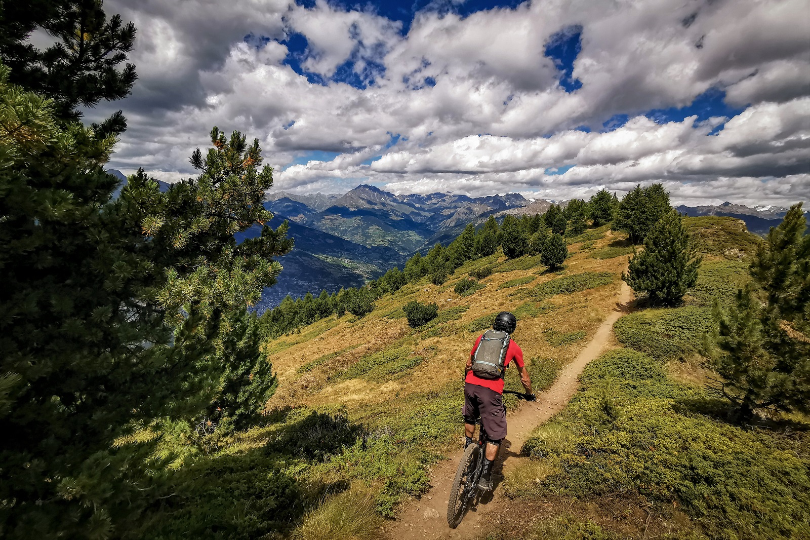
    Ciao Pila, grazie mille.

    *Of course, these elements don’t just create life, they can destroy it too. Take the next major threat to life you’re going to be hearing lots about: dihydrogen monoxide. A clear, tasteless acid which turns up in nuclear waste, acid rain, fossil fuel power plant fumes and even in human cancers. It can corrode metal and rock, and is thought to be responsible for the deaths of over 350,000 people a year, yet is found in most food stuffs and drinks. There’s several petitions desperately trying to raise awareness and get this poison banned, hopefully at least one will get some traction somewhere.

  • Queyras

    Queyras Natonal Parc. Or Flowy McFlow Face.

    About now I should be busy working, showing riders mostly from the UK or US around amazing alpine trails that I know really well. But, whilst life is a fair chunk of the way back to normal here in France and most of Europe, the UK and US are taking longer to control the pandemic and a summer biking holiday isn’t on the cards for most folks.

    Lots of other MTB guides are in the same boat, so we’re off exploring new trails instead.

    We're not in Kansas anymore Toto. Fun fact, Toto the dog was paid $125. a week, the Munchkins between $50 & $100. (allegedly)

    Somewhere a little over four hours drive from Chamonix is a mythical place where the food is cheap, the sun shines 300 plus days a year, and the trails are the golden flowy perfection of bike magazine covers.

    David angling for a cover shot. I don't think the blog is quite the same.

    No, not Italy, the Queyras. And conveniently Emily of The Inside Line was headed over there to scout out more trails and get some quality #content to use to persuade the world that they should be booking a holiday with her to ride said trails. Which is why last week I packed up the car and headed south over a road bikers dream of cols. Dream / nightmare, the cols Telegraphe, Galibier, Lautaret and d’Izoard are things of legend. One for another day.

    Going uphill. Heat doesn't rise, it's just everything sweats when it fights gravity.

    As the trip was for a mix of searching out potential new trail gold to mine as well as filuming known trails there was a lot of working around the golden hours of early morning and late evening to get the perfect lightbro. I hate mornings so was happy to be starting out at the respectable time of 5pm to go and bag our shots.

    What goes down must go up. Like the graph of a second wave.

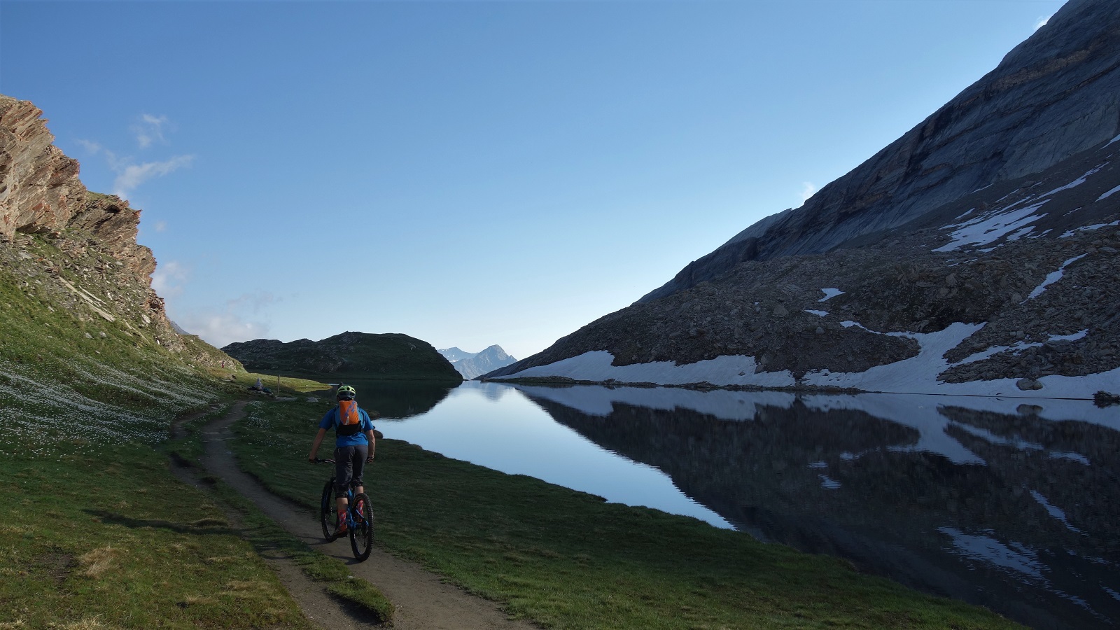
    Sure enough, an hour or so of pedalling from the Col d’Izoard later we were above a mountain lake, staring towards distant mountains that framed a sinuous snake of singletrack, and bathed in soft evening light.

    Oh look, singletrack bathed in evening light.

    …and discussing how best to shoot it. Which usually involves riding the same bit of trail several times over to get footage from umpteen angles whilst I alternate between washing out the front wheel and forgetting to turn when I reach the corner. Pattern set for the week.

    Shooting done we could enjoy the hundreds of meters of flow through the forest, and move on to the carpark that would be home for the night.

    A different day and a different descent, but it carries the mood.

    Sun comes up, time to ride bikes again. We pedal through the ever so slightly odd village of Abries, and up tarmac then gravel towards the morning’s objective. Slightly odd, very odd might be better. For reasons none of us felt like exploring, Abries has chosen to populate the sleepy streets with assorted stuffed mannequins performing the mundane tasks of everyday life. Whatever gets you through lock down.

    This is not a trail above Abries. Well, it kinda is, but not the trail currently being talked about.

    Every meter pedalled was a meter away from the village and towards our trail however. A lovely thing of a trail. Starting up by an idyllic alpage, swooping serenely alongside a meandering river, in and out of copses of trees and meadows of alpine flower, round a mellow unsighted corner, into an obligatory gap jump drop over sharp spiky shale.

    Said gap over said shale.

    It was a slightly unexpected change in character, mibbies the unstable terroir explains some of the unstable mannequins? Eitherways, it was dispatched and photographed and we continued on past churches and yet more flow. A reminder that alpine trails pretty much always have a surprise of some sort for you.

    David on trail, Emily piloting drone to get video, Graham hiding under the eves of a church out of sight of the drone getting snapshots. It's how the magic happens.

    If the morning’s trail was about getting footage, the afternoon was about checking out a promising looking line Emily had seen on the map. Without the shuttles you have when guiding it was going to be a bit of a pedal, but how bad could it be really?

    Up some road, then some gravel road, then some 4×4 track, we should be able to pedal all the way to the top. And we could, but it was definitely a bit more than any of us had accounted for. Talk turned to trail snacks, peanut M&M’s, Bombay mix. All our food was long eaten.

    "You can't eat beauty" which is a shame as chowing down on the view back to the climb would have been really welcome right about here.
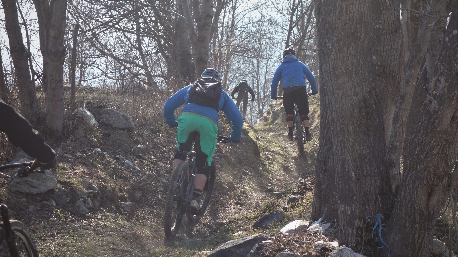
    No matter, the views were grand and we traversed happily round from the top of the climb to the start of the descent. What did matter was the trail had washed away. A work around was found, and lo, it was flowy.

    Light's not quite right here, but the mountains look mint in the background, and there's just enough dust getting kicked up to give you an idea. It was a right good trail.

    It stayed flowy. From wide and open top, into thin, then thicker, trees. Snaking straights with sick hairpins. Seen just enough traffic to have a bike line worn in, but no danger of brake bumps. Banger all the way to end. Best trail I’ve ridden in a long time.

    We got back to the van under cloudy skies and destroyed every unattended salted crisp, peanut and beer bottle in the van.

    A shot from earlier in the day, when it wasn't quite as hot.

    Another morning and blue sky again.

    We were going for another explore, a look into the unknown, but with the comfort blanket of sections of the trail having been visited before. Known unknown’s if you like. After yesterdays unknown unknowns we stocked up on stoke, food and drink. That mistake wasn’t being repeated.

    This shot was taken from a shaded bench where I was eating my sandwich and drinking water I'd just got from the fountain 5 meters away. It's a wonder we left.

    The climb was hot and sweaty, 1250m of up in the middle of the afternoon so you can summit in time for golden hour is only ever going to be hot and sweaty, but with some picture perfect wee hamlets to stop in and some stunning cols to admire the views from, it could have been a lot worse.

    If you're going to climb, you might as well do it somewhere picturesque.

    Even better, the trail to the 2500m summit that looked pretty marginal on the map turned out to be one of the most rideable bits of the climb. A rewarding bench cut track working its way round corners that kept revealing more views and more interest. The reccy bit of riding is where it’s at. What’s over the next ridge? The joy of exploring that got so many of us on bikes as kids.

    Bike in high place. Some fine product placement of my Airdrop Edit.

    No matter how agreeable a climb, 2545m is 2545m. A semi derelict observatory post was a fun distraction, but we all needed the rejuvenating powers of cheap sugar and e number laced sweets to get us ready for the descent.

    And whit a descent. Bit loose up high on the grey rock, but fun. Contouring round the hill inbetween hairpins. From the Col de Fromage a wee traverse drops into a Queyras classic. Maybe a few too many rocks on the trail to truly call it flow, but shit tonnes of fast straights and just supportive enough corners.

    Part way down the down.

    Turning off the worn line to cross a bridge and the trail changes character. Less angle but still just enough for you to pump more than pedal. A lot more than pedal. Beautiful swooping balcon trail through a stunning forest with lush grassy forest floor. A briefest of shower from the clouds that had been building all afternoon couldn’t ruin the mood, just improve the light. Sunlight dappled through the trees with beautiful rain drops.

    This is actually much higher up, but without the go-pro footage of the stunning forest trail, it's the closest you;re getting.

    It ended back in the village, 10m from the ice cream selling gite. Result, best trail I’d ridden since yesterday.

    We packed up the van and headed on out and up.

    Col Agnel is the 2nd highest paved col in France dontchaknow. And has view things.

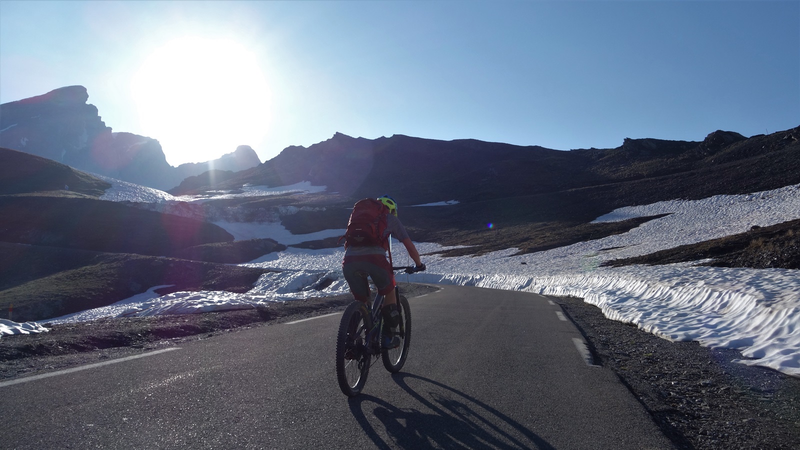
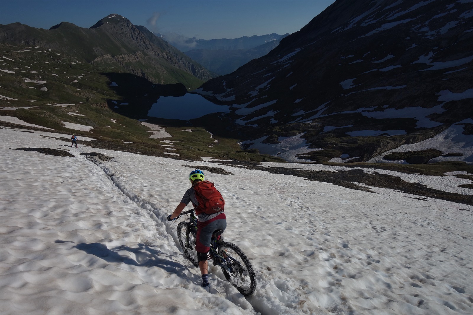
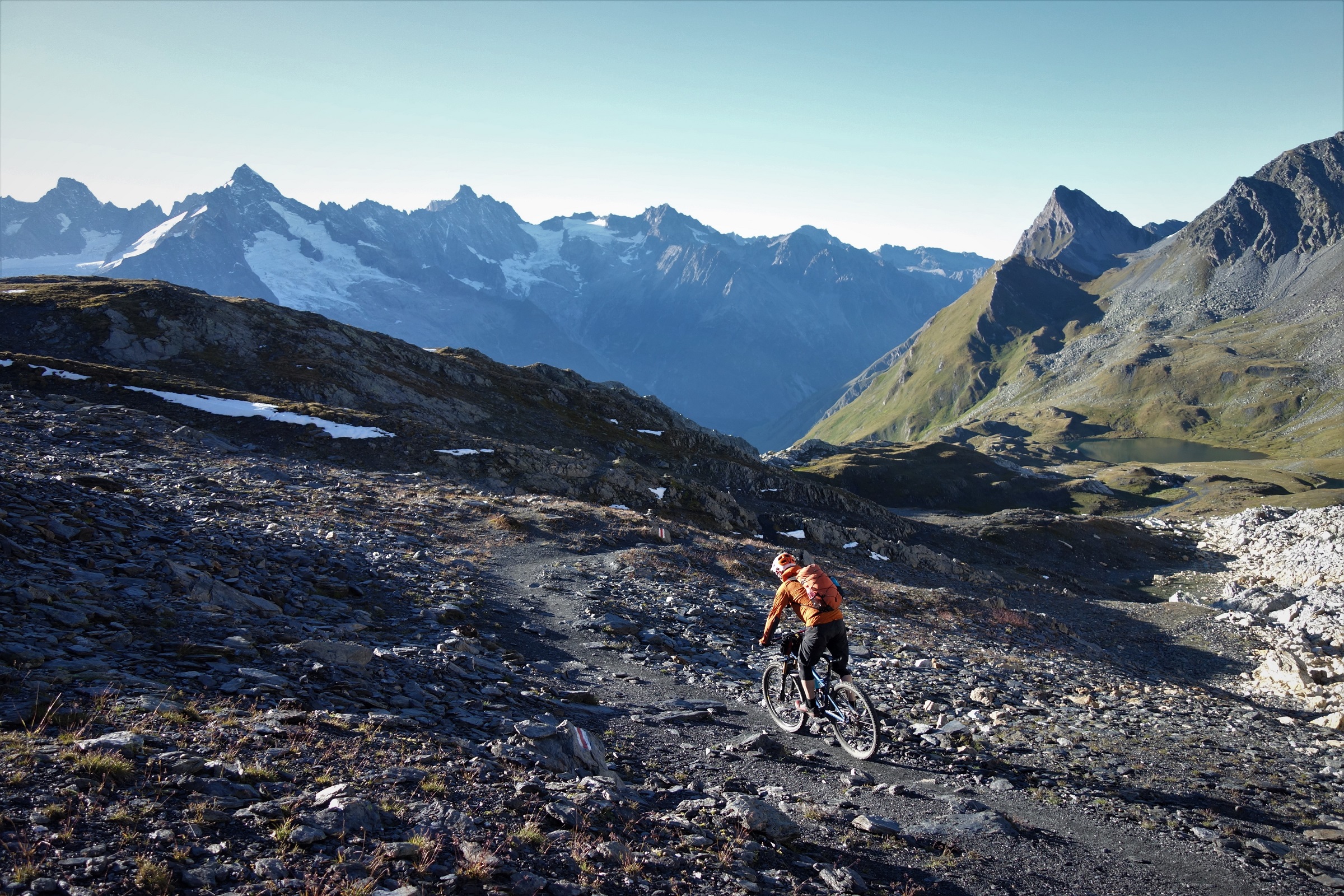
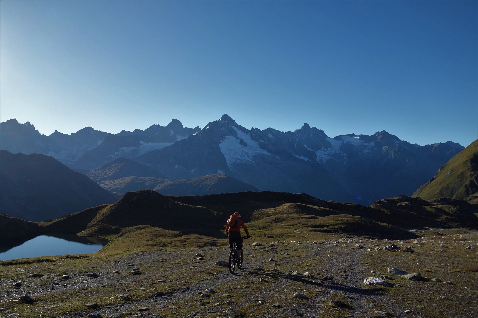
    Camped nearly at the top of the Col Agnel, we were poised to be at the top of the climb in time to catch the light whilst getting started as late as possible. At nearly 2700m the air is pretty chilly and a little thin, so we were all a bit tired and grumpy by the morning. We pedalled up the last of the road towards Italy, then over bog, path and snow up to the Col Vieux and the col view.

    This is the reality of shooting stuff. Being up so early the sun is weak enough to stare directly into.

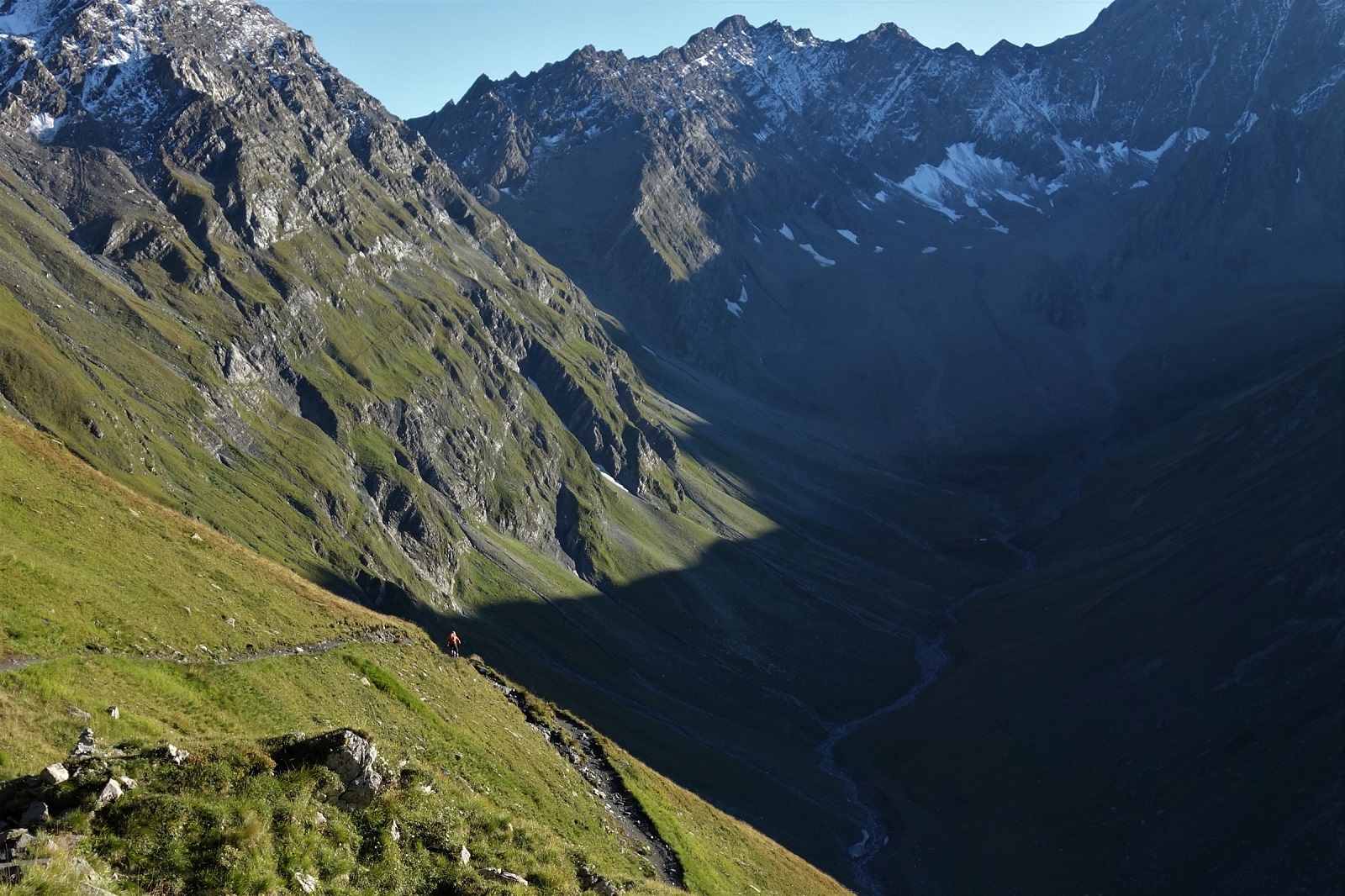
    This last big trail was one Emily and David knew well, so the surprises were all mine on the way down and with about 1300m to descend there was plenty of opportunity to surprise. Even once we’d left the high alpine and settled into what felt like familiar Queyras flow territory the trail turned into a cobbled highway. Not one of your nice flat cobbled highways either, a wall to wall wtf of rounded stones at all angles and heights. Pick a line and stayed loose.

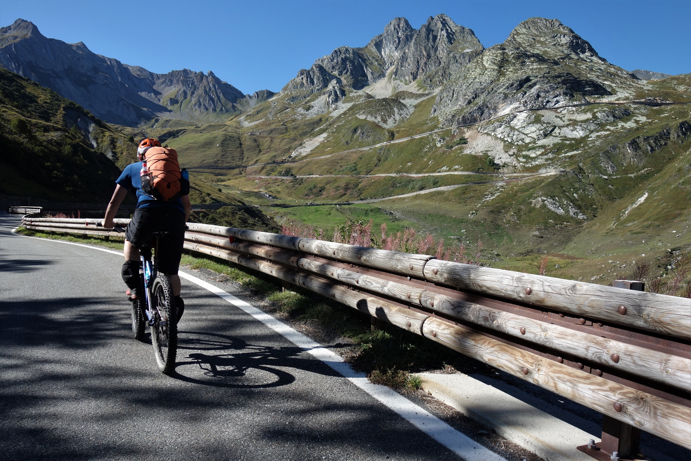
    Pick a line and stay loose. Top technique advice for pretty much any terrain you choose.

    We cruised back into Abries where we’d left my car days before and headed for morning crepes only the cafe was closed, so coffee it is and on to the next village for a boulangerie lunch.

    Before lunch. Long before lunch. We can't even see lunch from here.
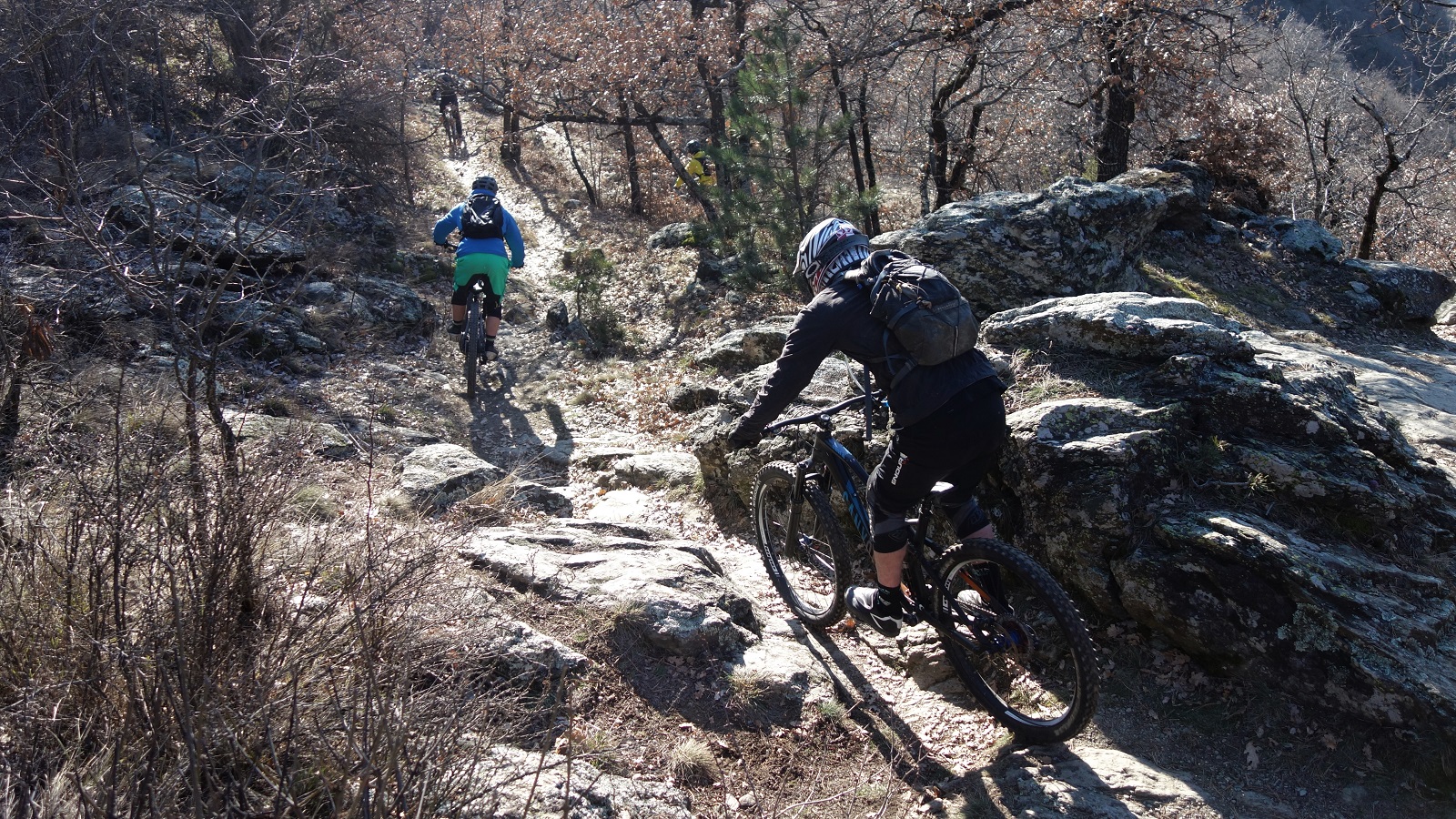
    The weather hadn’t quite broken yet, so why not try one last unexplored line highlighted on Emily’s map. Traverse for 20 mins then fast fun through a burnt forest reclaimed by a carpet of flowers. But with the odd (very odd) slab and tech to keep you on your toes. Fitting end.

    A slab of definitely not gabbro. More of a drop than you;d like to riders right.

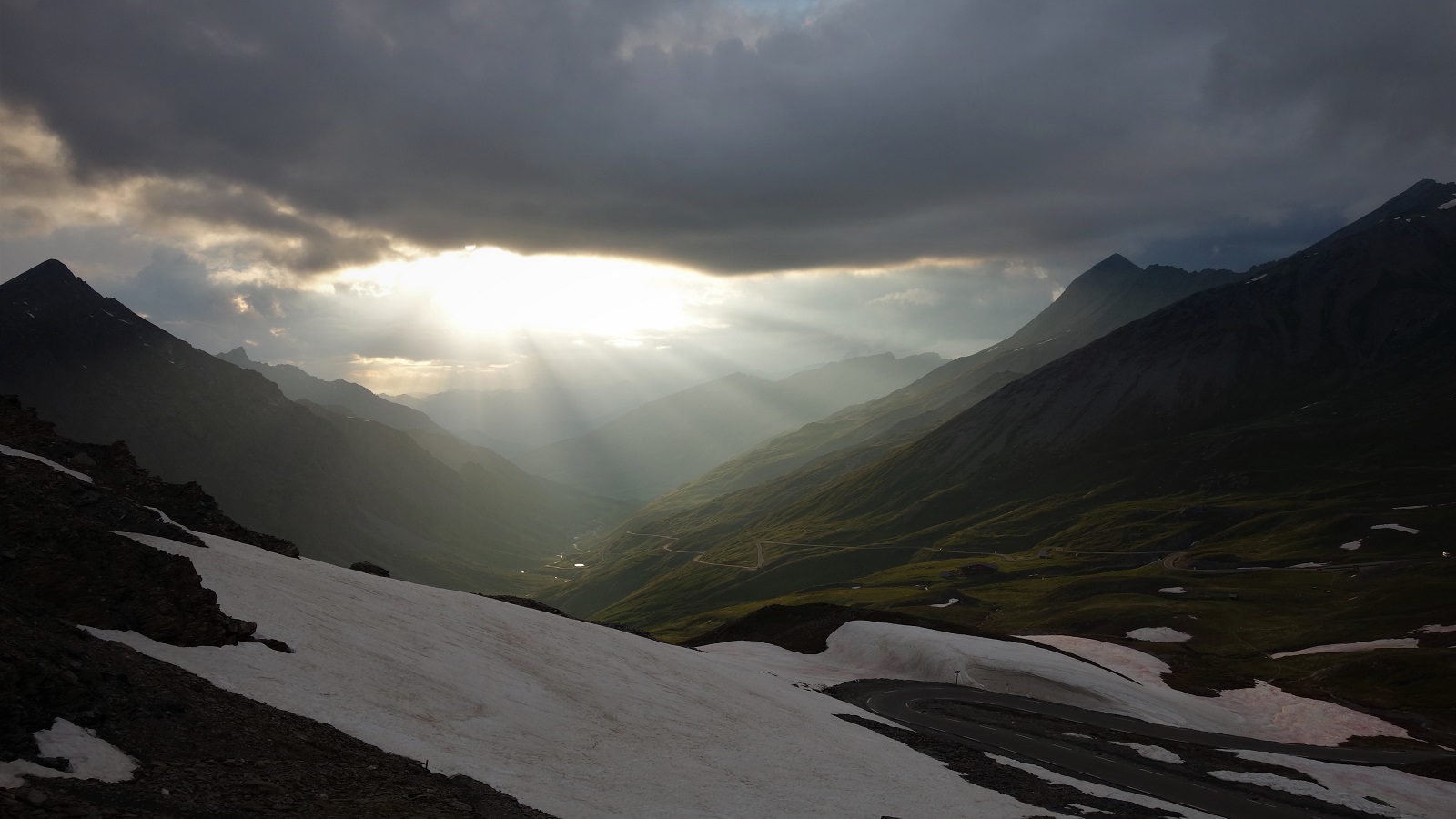
    Driving home the weather finally broke. Not far up the road to Col d’Izoard the thunder started to be accompanied by lightening, the spots of rain became a torrent became hail. The road went white. Or yellowy brown. The Izoard is possibly the most beautiful col I’ve been over, but not in a storm when the slopes get washed across the road. Where were those 300 days of sunshine now?

    If you move quick enough, you'll stay in the light.

  • A day in Italy

    About 45 days ago in Italy, Hamish Frost having a good day on skis. It probably wouldn't have been as good on a bike.

    There are many odd questions you get asked living in Chamonix. Where’s the lift to the Mont Blanc? Is it pronounced Chamonix or Chamonix? Are you a skier or snowborder? Which do you prefer; summer or winter? If you could only do biking or skiing; which?

    Obviously these aren’t questions people are interested in the answer to, it’s just humans wanting to avoid silence and keep the distractions going, but the “if you could only…?” questions always intrigues me. Like, what freak scenario are you imagining that will leave the circumstances that would create only being able to ski OR bike?

    I mean, obviously we’ve created a freak scenario where the alps might be snowfree within many of our predicted lifetimes, but apart from that…
    Light at the end of the tunnel or train? I don't know. But I do know that almost all my rides outside the valley seem to involve tunnels these days.

    Bearing in mind the impending environmental doom, was this acceptable? Some exceptionally rough calculations later (Renault trafic producing average 198g/km, Chamonix to Chamonix round trip 170km) I think we fired out 33.66kg / C02 in total, about 3.7kg / C02 pp.

    This is equivalent to about 31 km commuting (single occupant at an EU new car average of 120.4g/km the average EU commute being 28.56km  ), 26 minutes heliskiing (based on the Eurocopter AS350 B2 with 5 passengers [so including the guide, not including the pilot] but VERY roughly [turns out C02 emissions for helicopters are quite complex so this is probably under]  so more than one drop, but not including your drive there from home), or a very very short distance of flying, like a really really short distance. I couldn’t find 2 airports close enough together to give an example but feel free to find something to prove me wrong!

    This just gives some numbers to what we did, it doesn’t say if it’s acceptable. That’s up to you to decide. Is anything fair game in the pursuit of enjoyment or do we have to accept that all our actions will have a negative impact and we should stop breathing? I don’t know, but I know I feel less guilt that if we’d hopped in the spare helicopter. I can tell I’m losing you.

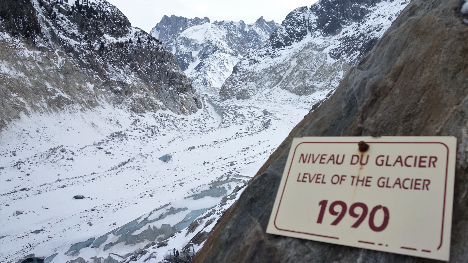
    Hey Millennial. Yup. If you were born in 1990, that's how far the glacier has receded in your life. Photo taken 13/01/2020. Those wee dots on the glacier are people. Yeah, it's receded that far.

    Birthday lad Ollie riding out that freak snow free scenario in style.

    Anyways, the answer is generally thus. The average day biking is better than the average day skiing, but the best days on bikes don’t come close to the best days on skis. And the best season is the one you’re in.

    So in the middle of winter, in a period of average ski days, Ollie’s message to say it’s his birthday and he’ll bike if he wants to was most welcome.

    Light bro #shuttlelyfe

    Load a van and head to Aosta.

    Because in Italy it’s always sunny, the trails always dusty, the coffee always perfect.

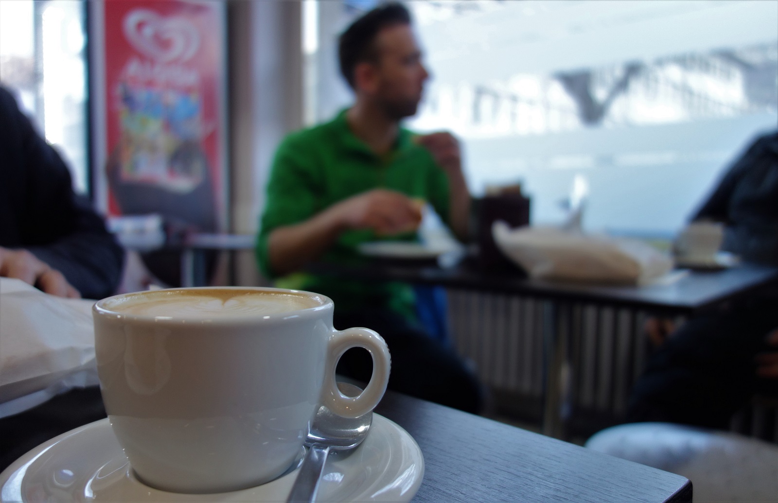
    It was a bit chilly at first, so we sat in a cafe for a bit. No complaints.

    Aosta riding then. There seems to be a very Italian thing that lends itself to shuttles. Assorted sizes of roads weaving up the hills across the country, all with a convenient lay-by, pull in, kerb or dirt shoulder to stop a (invariably) Renault trafic and trailer in, and a cracking bit of singletrack just alongside.

    Oh look, they even marked the trail for us.

    On a crisp, sunny January morning it was hard to think of a better place to be. Cafe stop to start, foccacia and pizza in the bags for lunch then up the hill to the first drop off of the day.

    Where does the trail go? Down. The trail goes down.

    Obviously with a trailers worth of bikes (every bike a different brand, 3 wheel sizes, 3 frame materials, we’re a diverse group of white western males) that hadn’t been used for a couple months there was some faffage (1 punctured tyre, 1 punctured brake hose. Not a bad score for a days riding, good guy award goes to Emile for lending his shiny new Starling out to Martin so he didn’t have to skip the rest of the day), but not too much. A few more minutes for the obligatory pees-with-a-view, can anyone remember how to wheel and who’s got a new bike and can we all bounce up and down on it to marvel at how plush fresh suspensions feel like, and we were ready to drop.

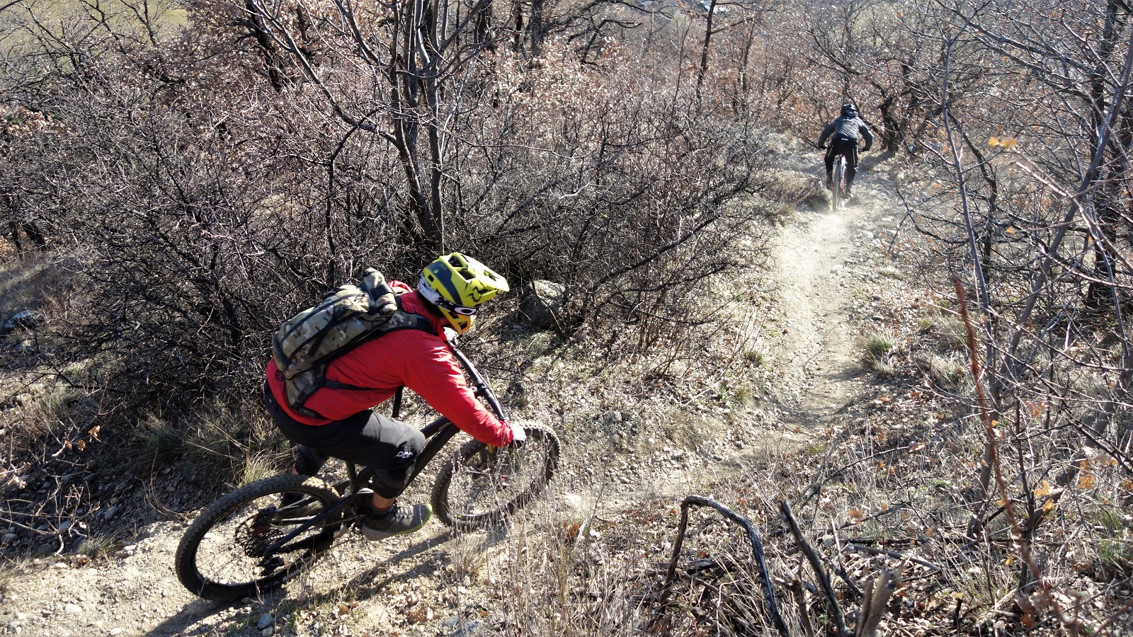
    Dynamic framing and agressive riding position conveying a sense of movement and urgency.

    As 2020 has gone in heavy on the dry January front, the trails were running great. Dusty yet with enough winter frost glue deeper in the dirt to give grand grip. The leaf free trees let plenty of low sunlight through, sunglasses obligatory for much of the day. If you forgot that you were wearing a down jacket you could be fooled into thinking it was summer.

    Maybe.

    If you’re the gullible sort.

    Just like summer. Kinda.

    Ride down to the pick up, load up, back up, see who’s driving back down, repeat. Not quite as catchy as eat, sleep, ride repeat, but about as accurate.

    Trains. So hot in 2020.

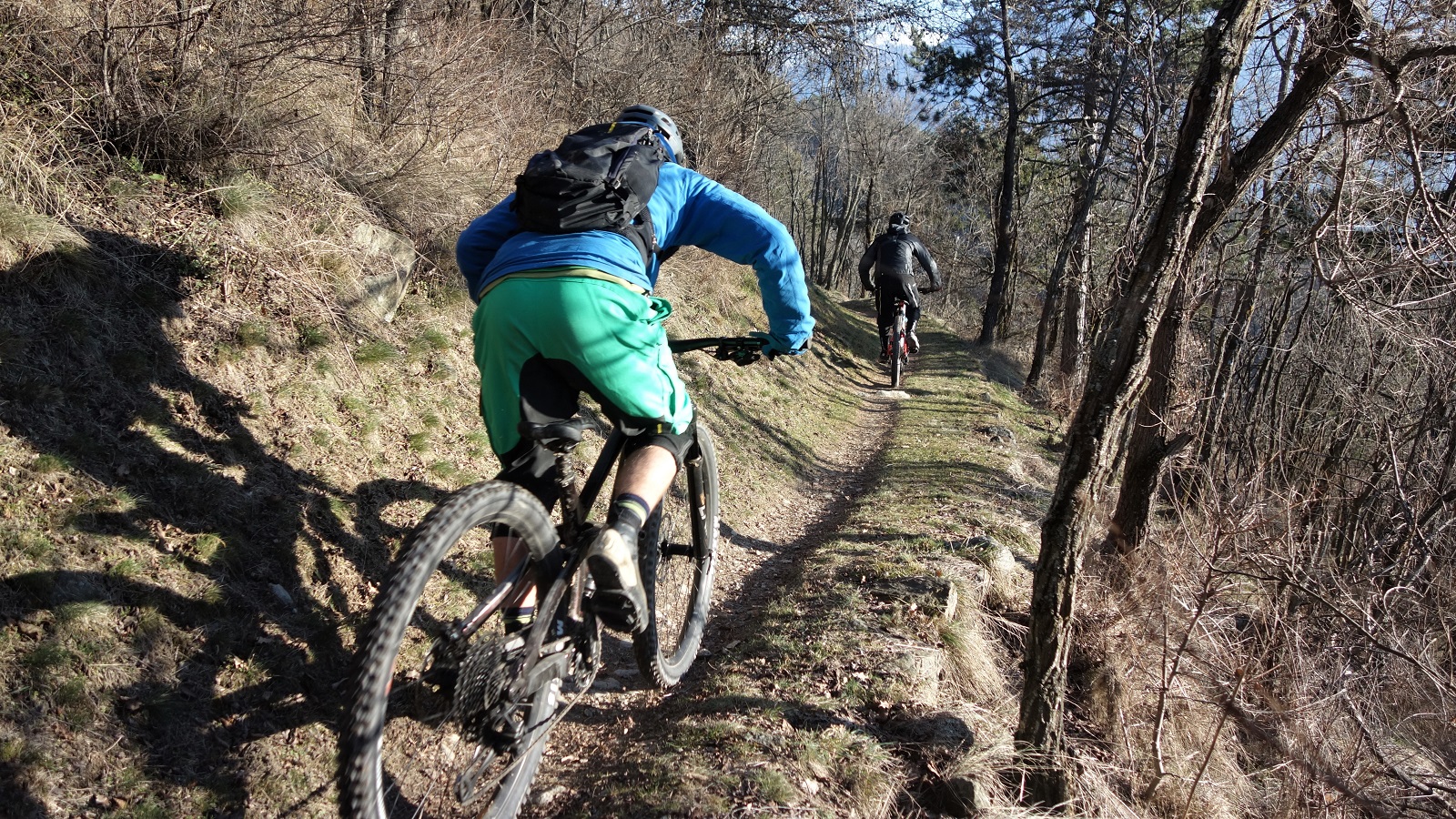
    Not that every down was the same. Even when repeating the trails, the introduction of the “leader can’t cut” rule lead to surprisingly carnage free free for all down the most multi optioned trails. There’s something to be said for trying to ride a trail whilst staying on someones rear wheel, and simultaneously looking where the trails goes but checking where the trail doesn’t and you should. Who said we canny multi task.

    Where's the cut line? About 3 meters to the right. Whaddaya mean you canny see it?

    This wasn’t quite the strava cut fest you’re imagining. Above Saint Christophe is such a maze of trails that you can criss cross your way down the hill, all on a different line but all going in the same vague direction. Best to look uphill as you come into some of the junctions though, the Red Arrows ain’t got shit on some of our formations…

    When the trail goes right but the lead rider chooses left... Team pile up.

    Not every uplift was the same either. The highest point of the day was reached by pedal power, Renault Trafic’s can only climb so much ice. Worth it for the trail but.

    Mediterranean or Alps? Definitely a train.

    Basically, it was a day spent taking the piss out of each other, riding in trains at questionable safe distances whilst taking the piss out of each other, and standing about in the sunshine taking the piss out of each other. It’s the formula for a grand days biking and goes some way to explaining why the average day’s riding is so much better than the average day on snow.

    Wayne aka ChamonixMTB, Chamonix's first French qualified UK guide drifting into 2020.

    Now, who’s birthday’s next…

  • Tour des Combins

    Tour des Combins. You can say what you like about Switzerland, but the flag's a big plus...

    Let me break the fourth wall on the way this blog works. Usually I’ve had an idea that’s been written down long before the ride happens. Sometimes the ride doesn’t go to plan and the idea doesn’t get used. Sometimes I have a better idea. As a result there’s a file on the laptop with unused stories covering subjects as diverse as “How much fucking up of the environment is considered OK*”, “How addictive is bike riding” and “How quickly did Capucin monkeys invent prostitution after being taught capitalism” (The answer to all these sort-of-questions is “very”).

    I had an intro all lovely and written for this, then realised it was perfectly wrong. I like realising things.

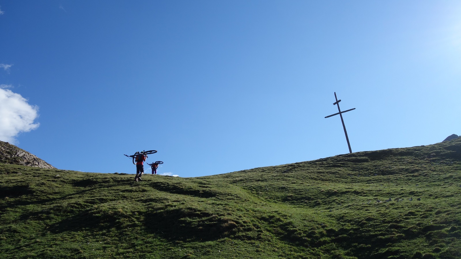
    Dave realising just how much fun carrying a bike uphill can be at 2800m

    So instead of a bit of a rant about how “Mountain Bikes” shouldn’t be called “mountain” bikes because really its “lower down the hill where the trails are interesting” bikes I’m just going to be happy about the idea of going into the hills with friends and enjoying being there**.

    Autumn innit. Col du Mille descent

    Because three of us went into the mountains, rode a route that we were fairly sure would be good, and had a generally grand time.

    That route would be a variation on the Tour des Combins. The ‘Combins’ being the Grand Combin, one of Switzerland’s bigger hills, and the ‘variation on the Tour des’ bit is the classic Tour des Mont Blanc esque hut to hut walk with tweeks to make it betterer for bikes.

    Having fun. Mostly.

    The first thing that made it betterer for bikes was Bike Verbier giving us a lift up to Bourg St Pierre to start the first climb of the day about 1000m higher than otherwise. If this seemed like a good idea at the time, it seemed like a bloody amazing idea by the time we were slogging up the final hill of the day to the Cabane Chanrion.

    The first hike-a-bike of the trip. First of many, we just didn't know how many....

    That’s in about 2500 meters time though, we had the initial thousand or so to go up to the Col du Mille first.

    They went.

    Eventually.

    Confusingly, this climb is part of the Col du Mille down. climbing pictures are much quicker to take than DH pics.

    You go up to get down, and the down from the Col du Mille is a bit of a classic. Starting at over 2400m, you’ve got a lot of winding alpine singletrack to ride before you hit first shrubby plants then the tree line. Better, just as you’re getting to the tree line you hit one of the best sections of trail I know of. Nothing too technical, and there’s better backdrop elsewhere too, but it just hits all the right sizes of turn on just the right gradient to make something really memorable.

    Sanny makes the magazine magic happen whilst Dave rides off into the Col du Mille sunset...

    Down then up, well across more than up at first, but eventually up. First on tarmac to Mauvoisin, then gravel to the Mauvoisin dam, then tunnel to Lac Mauvoisin.

    Industry

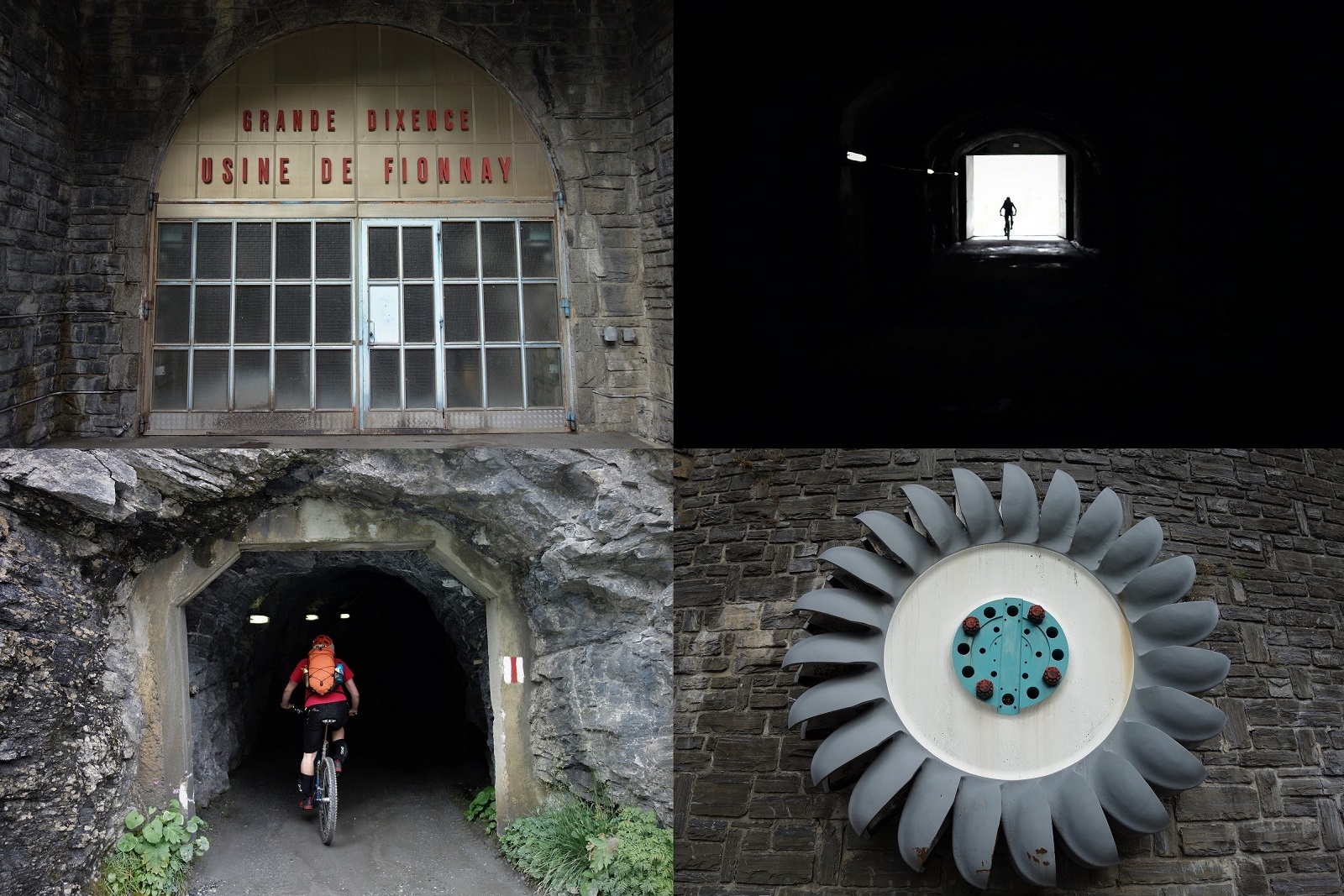
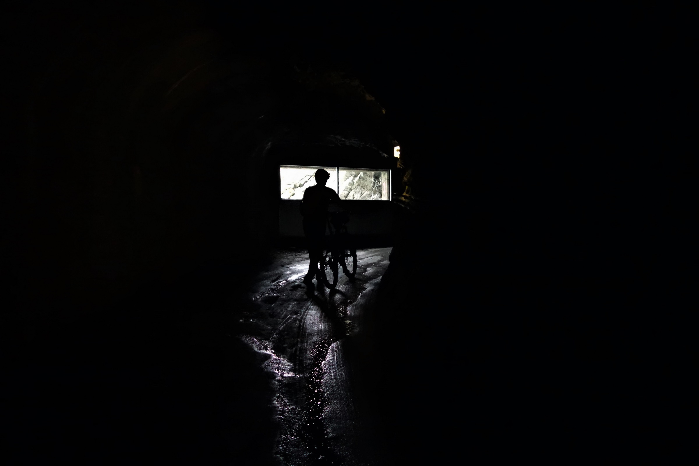
    Aye, tunnel. With the normal valley floor trails being under 60 years of water you have to take a few km’s of tunnel along the side of the lake instead.

    You canny say the riding’s not varied in the alps…

    Varied riding (pushing...) past the damn dam.

    The climb keeps going up, the scenery keeps going up, the energy levels keep going down. Thoughts of missing the 18.30 feeding time at the refuge zoo keep entering my head, along with the first musings about e-bikes.

    Forgive me father for I have sinned.

    There's a hut up that valley. 250 extra watts would really help get there.

    Turns out we needn’t have worried. As the Cabane Chanrion comes into view so does the hut guardian, stood atop a lonely peak scanning the horizon for his only 3 guests of the night.

    Switzerland or Nepal? Nearing the refuge.
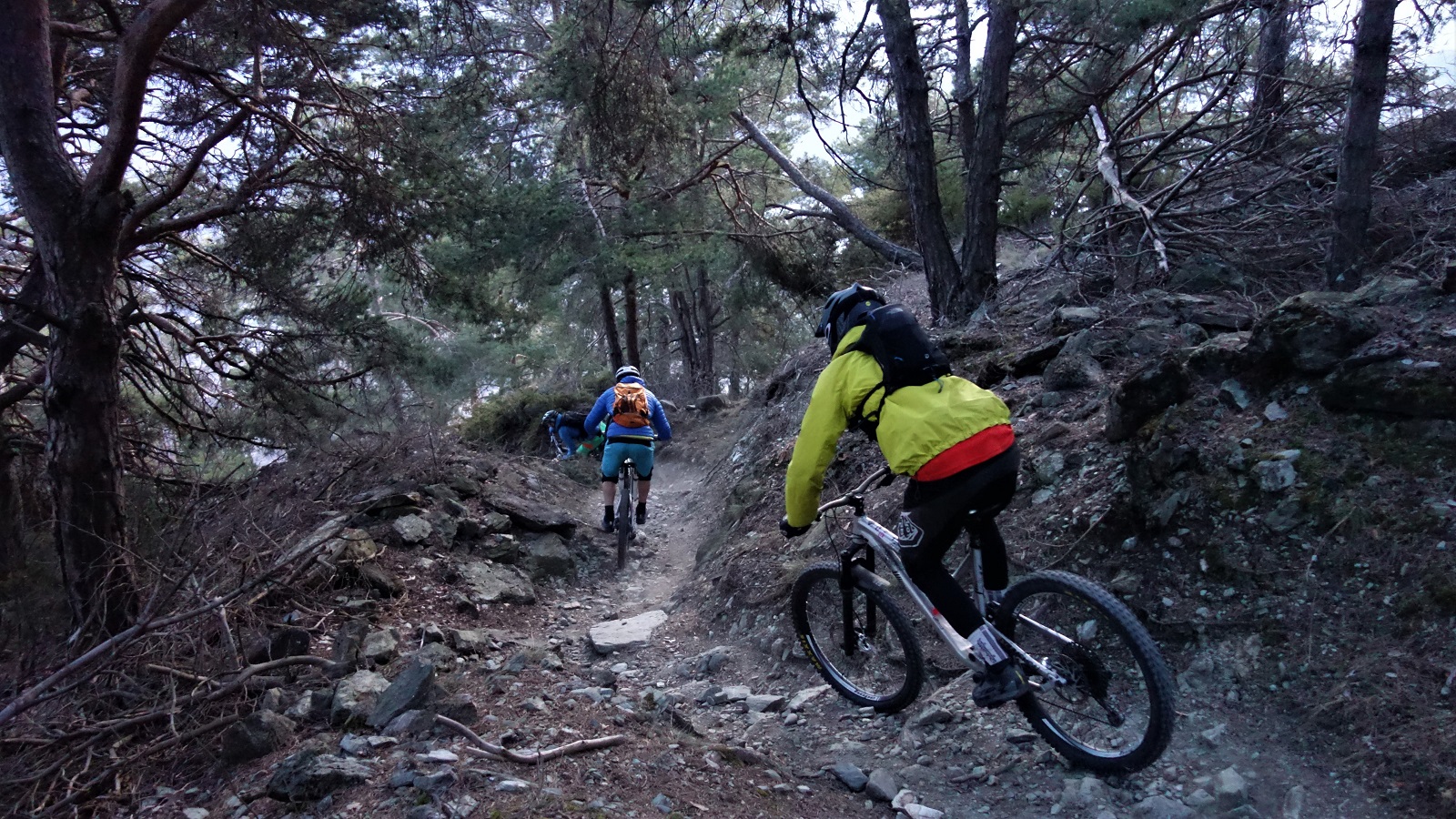
    Dinner at 7pm? Why that’ll do nicely sir.
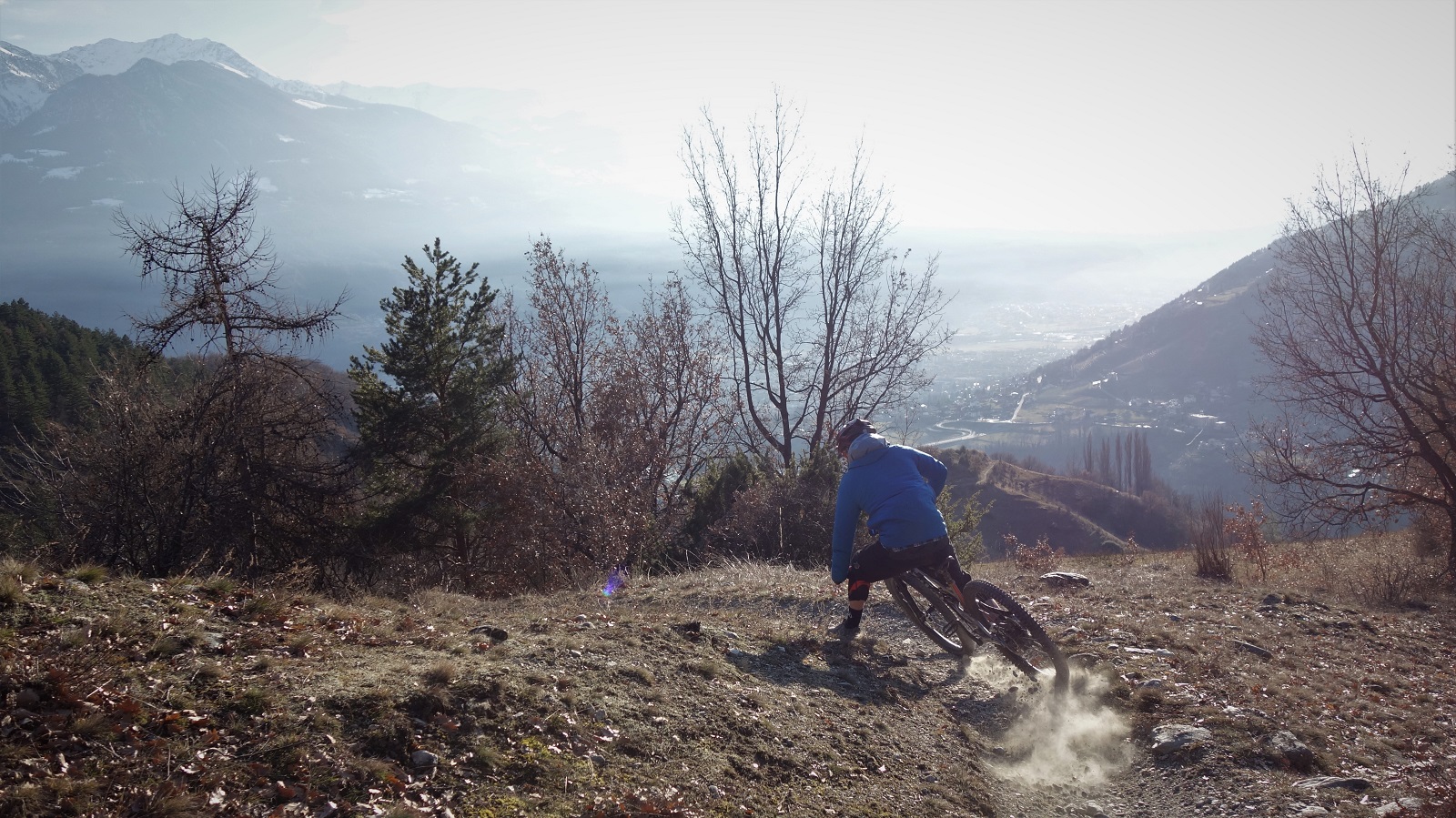
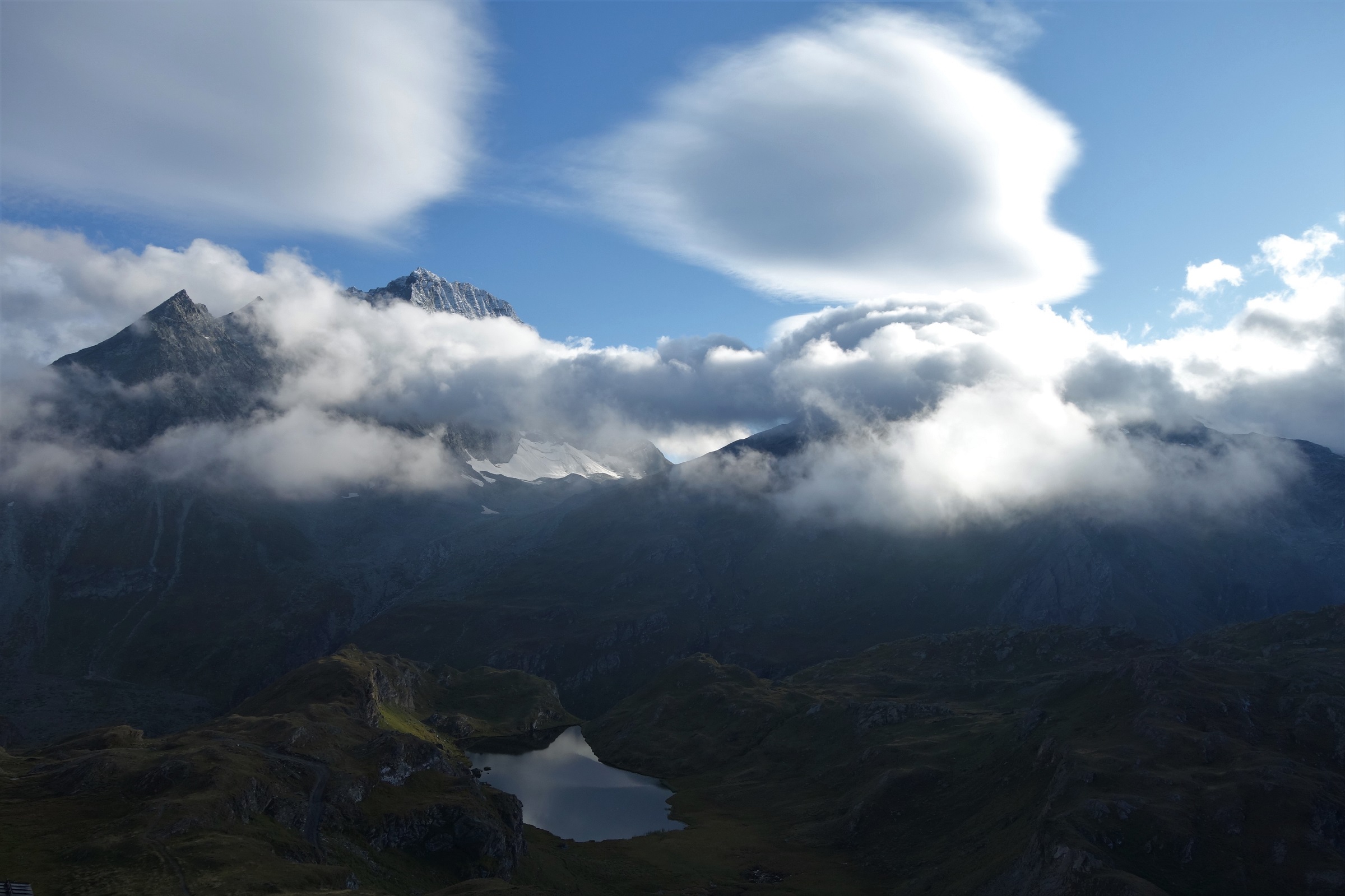
    Hut views. Welcome at the end of the day.

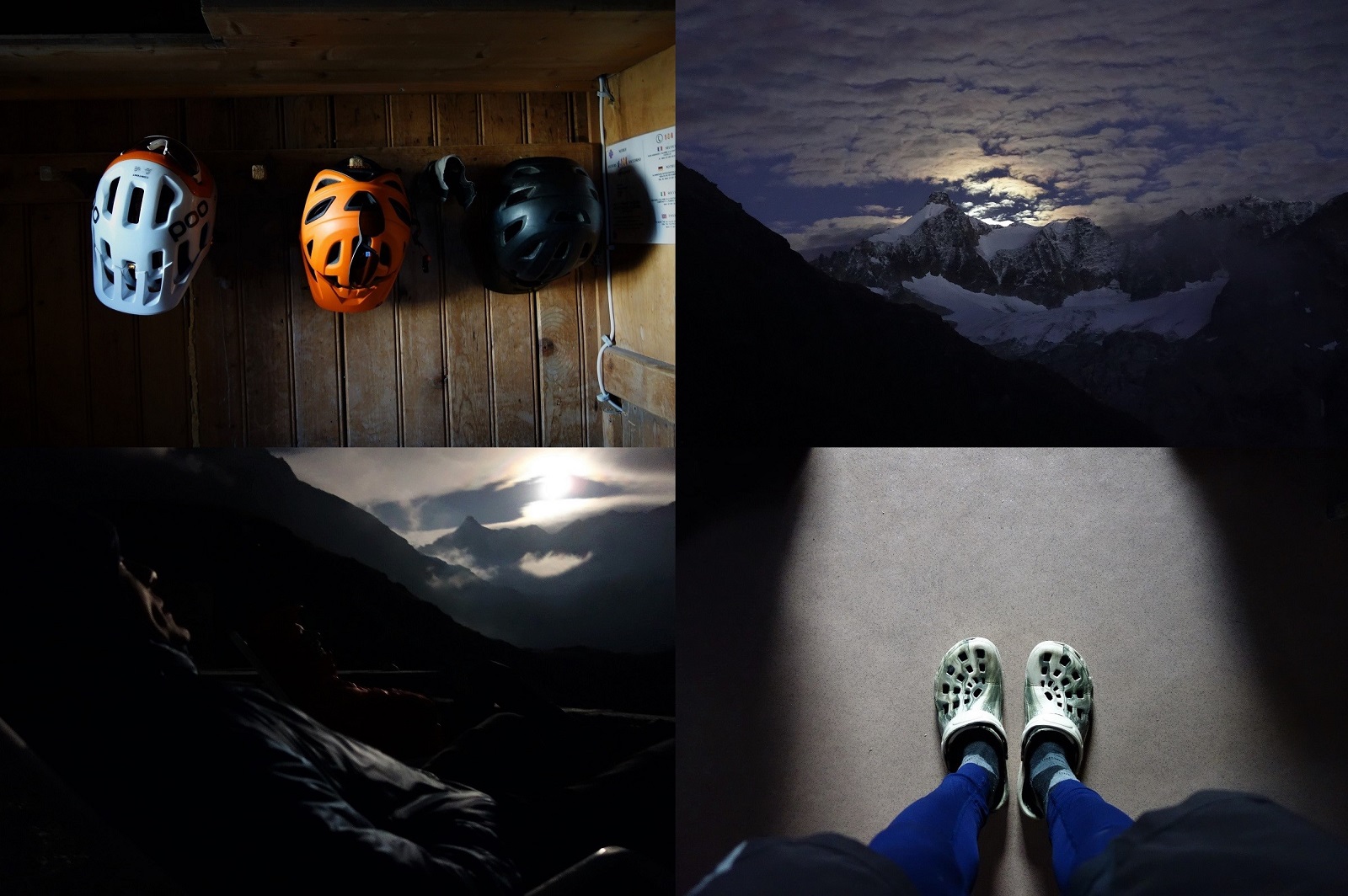
    This is pretty much where the original start to the tale fell apart. I should be talking about the trails and the riding and the differences but really, the best part was just beginning. Sitting outside in the sun(moon?)chairs watching the moon rise over the mountains and the stars get outpaced by the satellites had nothing to do with biking, we could have arrived on foot, skis or parapont and the experience would have been exactly the same. We have far more in common than which divides us  I guess.

    Cabane Chanrion

    Another day with another sunrise and another litre of tea in the belly to hydrate. There are better starts to the day than a 400m singletrack descent out the front door, but not many.

    Breakfast singletrack. Could be worse.

    There are better continuations of the morning than an 800m pedal and push to 2800m altitude, but not many.

    More than the previous example however.

    Ride then carry then ride then carry then ride. A quick summary of the climb to the col. Sanny pictured on a ride bit.

    Passing through the Fenetre de Durand marks the literal and figurative high point of the trip, 2797m up and surrounded by high peaks and glaciers.

    Headed for the Fenetre de Durand, surrounded by high peaks and glaciers.

    It actually arrives fairly easily, the hardest part of the climb by far is lower down, by the time you get to the last few km’s to the col the slope angle has eased off and the scenery cranked up to 11 to distract you even more.

    Good col that.

    Fenetre de Durand. Lower than the stuff about it, bigger than the riders trying to climb it.

    The descent off the other side into Italy’s no bad either. Moonscape shale and deep deep turquoise lakes that are the thing of Yeti brand managers dreams. A final tech section through derailleur hungry rocks and you’re spat out into a high alpage and the start of a long balcon trail round to Etroubles. Really long. 14km or so with barely altering altitude through some of Italy’s best scenery. Bikes are good.

    We're off to button moon, button moon. 80's childhoods, no Paw Patrol there.

    I’d had high hopes for the descent into Entroubles. After a summer of bike guiding where pretty much the whole point of riding is to go to places you know and have checked out before, this was going to be a dotted line on the map that I knew nothing about, could find nothing about, but that ticked all the right topographical boxes to give a classic Aosta valley singletrack descent.

    Still descending up by the col. It's near continuity.

    It didn’t quite work that way. GPS said we were slap bang on the trail but the ground said otherwise. I’m pretty sure there was a trail there once, but I’m also pretty sure the dinosaurs were there once too. Dejectedly we kept picking our way down through open forest until a perfectly groomed trail appeared where no map said it should.

    Keep following the map or strike out into the unknown?

    Still teasing with pictures from the upper parts of the descent. It was pretty good.

    The unknown worked out very well indeed.

    A known known rider on an unknown unknown descent in a known unknown Italian valley. Early 2000's politics. And we though things were weird then.

    The other thing that worked out very well, the trail ended in a small Italian village. Coffee time.

    Drink enough coffee and you too will turn into a roadie. Quick, Sanny, bag that classic col.

    Caffeine is an interesting performance enhancing drug. It was also a welcome one at the start of 900m of tarmac climbing. We weren’t going quite to the top of the Grand St Bernard pass on the road, but a couple of sweaty hours later we weren’t much off it. Classic road bike cols are better done on road bikes would be my main conclusion from that.

    Hello Bike, Hello Fenetre du Ferret. My much abused and much loved Edit v2 ticks off another classic descent.

    Here Dave, on his carbon 29’er hardtail, decided that a better time would be had continuing over the col and descending by road back to Etiez. It was 5pm with 350m of hike-a-bike to the next col and a technical descent still to go. The appeal of travelling 20km without pedalling was too much… We waved Dave off, never to speak of him again. Sanny and I shouldered our bikes and started the plod to the Fenetre du Ferret.

    We ain't plodding no more. Starting the drop to La Fouly from Fenetre du Ferret.

    Somehow I’ve never been to the Fenetre du Ferret before, but for a first time up there, arriving to early autumn golden hour on a perfect blue sky evening is about as good as it gets. Even with a chilly wind whistling over the rock and snow it was a happy place to be.

    The Alps. Does good backdrop. Very good backdrop.

    As we started the descent it got even happier. Some descents are memorable due to the situation, some the quality of the riding, some the sheer length of the descent. Dropping from the Fenetre du Ferret to La Fouly ticks all they boxes and more. Just a stunningly good ride in stunningly good scenery.

    Wish you were here? Wish you could be here without the thousands of meters of climbing to get here? Me too.

    The ride could have continued. From La Fouly there’s the Tour du Mont Blanc trails along the valley floor, a couple of climbs can get you to some classic descents from around Champex Lac or above Orsierres, but it was getting dark and I was hungry. We hit the road and tucked for a very rapid return to Etiez, in the end the full descent, some 30km and 2000m disappeared in 80 minutes. If only all human progress could be so easy!

    Sanny making progress. We descended a lot of trail like this. The fading light may have killed off the descent lower down but it didn't look so bad up high.

    Cheers and hi-fives go out to Sanny and Dave for being (mostly) willing guinea pigs to the route, Alpavista, a fellow pictures and pontification rider/blogger who gives a breadcrumb trail of clues to put together over a bit of time with a map and educated guessing to help plan routes (except his pontifications are in French which does lend them a much more poetic air than I get). And Lucy and Phil at Bike Verbier who know every trail every where and are two of the best things to happen to mountain biking.

    Insert own caption here.

    *You can enter a false email address to complete the test here and not worry about getting follow up guilt trips, the point’s more to make us think about just how much we have to change behaviour to live in a way 1 planet can support us.

    **Keeping with the transparency theme, normally I get something written up and published within a few days of the ride. All this happened about 3 weeks ago but working riding my bike has got in the way of writing for free about riding my bike.


  • Continuous Professional Development

    Beaufortain biking. Atmospheric would describe it this day.

    Hello, it’s been a while. Missed me? Not much content here of late but it’s not you, it’s me. Not that I’ve no been riding, just that I’ve been working.

    I’ve had umpteen jobs down the years. When I sat at a desk trying to find ways to pay for those walking and cycling routes politicians said Glasgow should have, I didn’t find myself writing EU funding applications for infrastructure projects for fun at the weekend. Yet, with bike guiding, first chance you get to rest your calloused hands and you head off to try ride some trails you’ve never ridden before, and not get paid for it.

    It all gets chalked up in the log book I guess.

    Anyways, this is why on my week off I found myself hanging out with friends riding new trails in the Tarentaise.

    The Tarentaise. Does a good line in ridge trails, thanks to the inside line for showing us them.

    And hanging out with friends riding new trails in the Valais.

    Ahh, back on the Verbier classics with the Verbier classic James.

    And hanging out with friends riding new trails in Beaufortain.

    Happy people ride happy trails.

    This blog is about the last of those.

    Beaufortain is the area you’ve not heard of. Unless you race ski-mo. Or eat a lot of cheese. Cows are definitely priority #1 in this area. Fortunately though, there’s not much number 2 (except courtesy of priority number 1 alas) so bikes are encouraged as a way to supplement the cheese-and-skiing financial model that so much of the alps seems to survive on. Yay for generous unemployment benefit.

    This trail is probably not made by cows. Chris seems to like it though.

    So how do VTT get encouraged to join the vache? Lots of way-marked trails, some pumptracks, cheap chairlifts and free buses. Pretty good eh.

    With a forecast as all over the place as a Prime Ministerial haircut, we met at noon. Well, we planned to. Everyone was late. It started raining, we put our jackets on, it stopped raining, and that was the weather fixed for the day. You learn these tricks at guide school.

    You're never far from a cross in the alps. Farmer or religion.

    Time to ride. Chris was meeting us down in Beaufort. There’s a free bus from Beaufort back up to Les Saises. Les Saisies is about 900 meters above Beaufort. You can see where this is going.

    Down. And round a corner. This trail is going down and round a corner.

    The “Adret’naline” (or something like that, trail building is stronger than trail naming out here) trail from Les Saisies to Beaufort is pretty good. The start’s a bit meh but once into the woods things start going downhill in a good way. As both Martin and me had spent the morning watching Val di Sole practice highlights we weren’t in the mood to be stopping for photos so you’ll just have to take our word for it, but as free uplifted trails go, hard to beat.

    Not from the Adret'aline trail, but similar idea. Trees, leaves, hidden roots, quite fast, Martin in the air.

    Next up, main course. We’d met Chris in Beaufort, had some quiche, got on a bus, headed up to Mont Bisanne (top tip, stay on the bus after the Les Saisies stop, you get a bit more vertical for free. Or buy a ticket for the chairlift if pedalling 150m of vert doesn’t appeal) and looked at the views.

    Might have been raining in Chamonix, but it were right dust above Albertville.

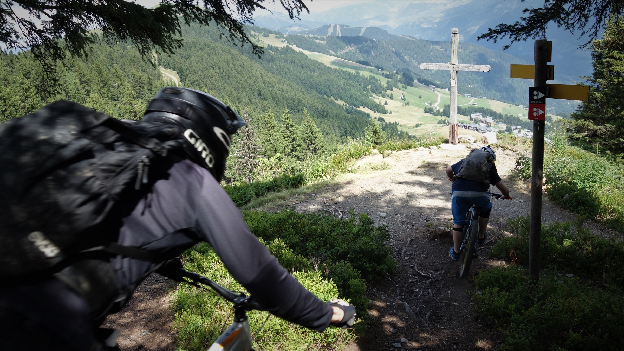
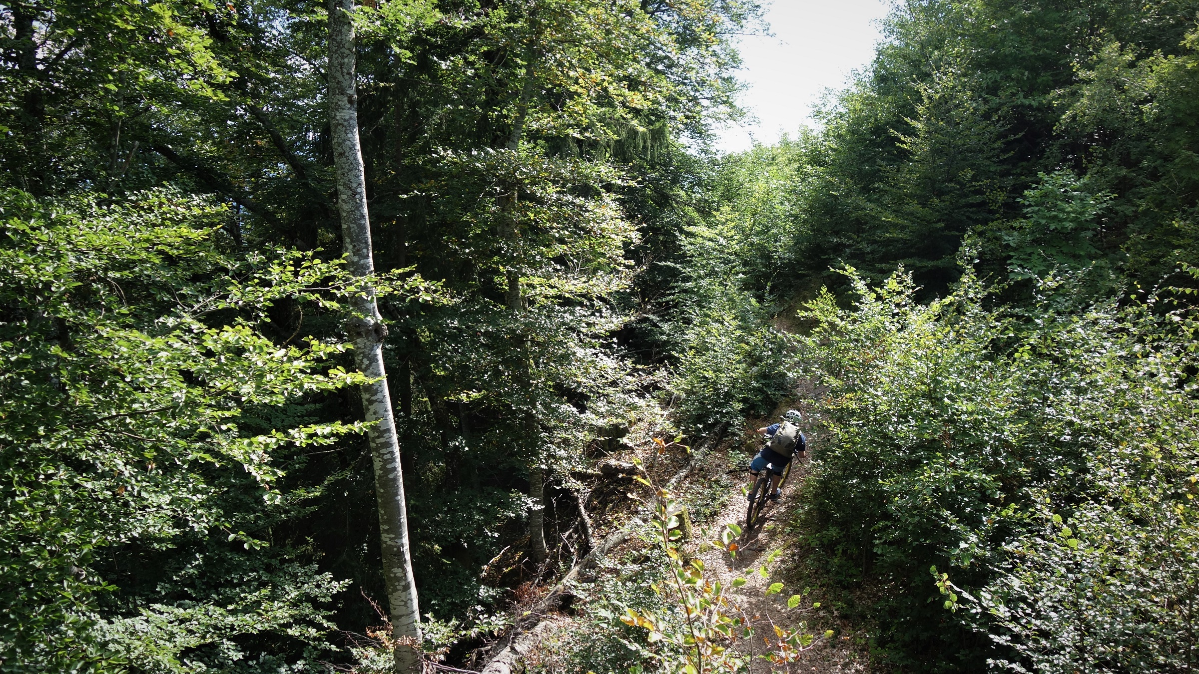
    The “Dev’Albertville” trail’s been kicking about my to do list for a few years now, so it was grand to finally get onto it. It starts a wee bit boringly with some fireroad and a bit of climbing, but once on the ridge proper, dropping down to Albertville 1600m below, it’s worth the effort. Plenty single track, some switchbacks but nowt too tight, bitta tech, bitta fast stuff, there’s even a cracking handbuilt berm-berm-berm-kicker-berm-berm-repeat section towards the end.

    This is what the trail gives you, it's up to the rider to make of it what they can....

    There’s also a couple of mid descent climbs, some tarmac and a badly signposted posh housing estate to negotiate, but if you can’t see past those flies to enjoy your ointment, well, this analogy’s not for you frankly.

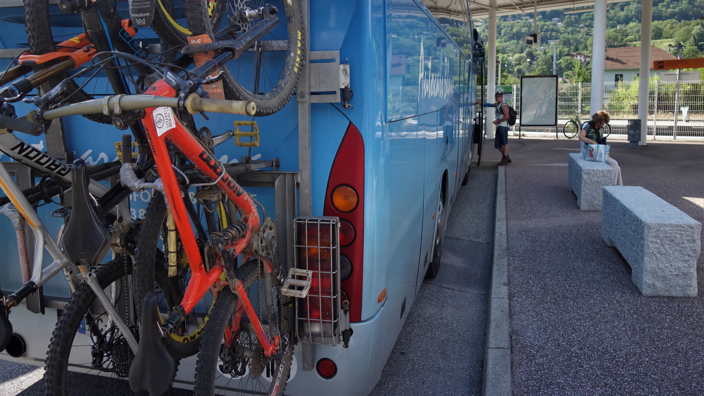
    What goes down invariably has to head back up again. In this case, on the back of a bus.

    Then, more buses. Not free, but €5 to get you and your bike from Albertville back to Beaufort then Les Saises again doesn’t seem too harsh to me, just mibbies bring something to help secure your bike with….

    Nearing town... I fear the photos suggest the trail was all fast straights, that's just the bits I had the camera out for.

    Due to not really reading the bus times in much detail, it was now 7.15 pm and time to head home, but with a just a wee bit more (ok, any) planning you could link up a lot of good trails here with the buses, returning to the fine cafes of Beaufort on most every lap. Something for the next week off I guess.

    Toe straps. There's a reason every guide has one towards the bottom of the rucsac.