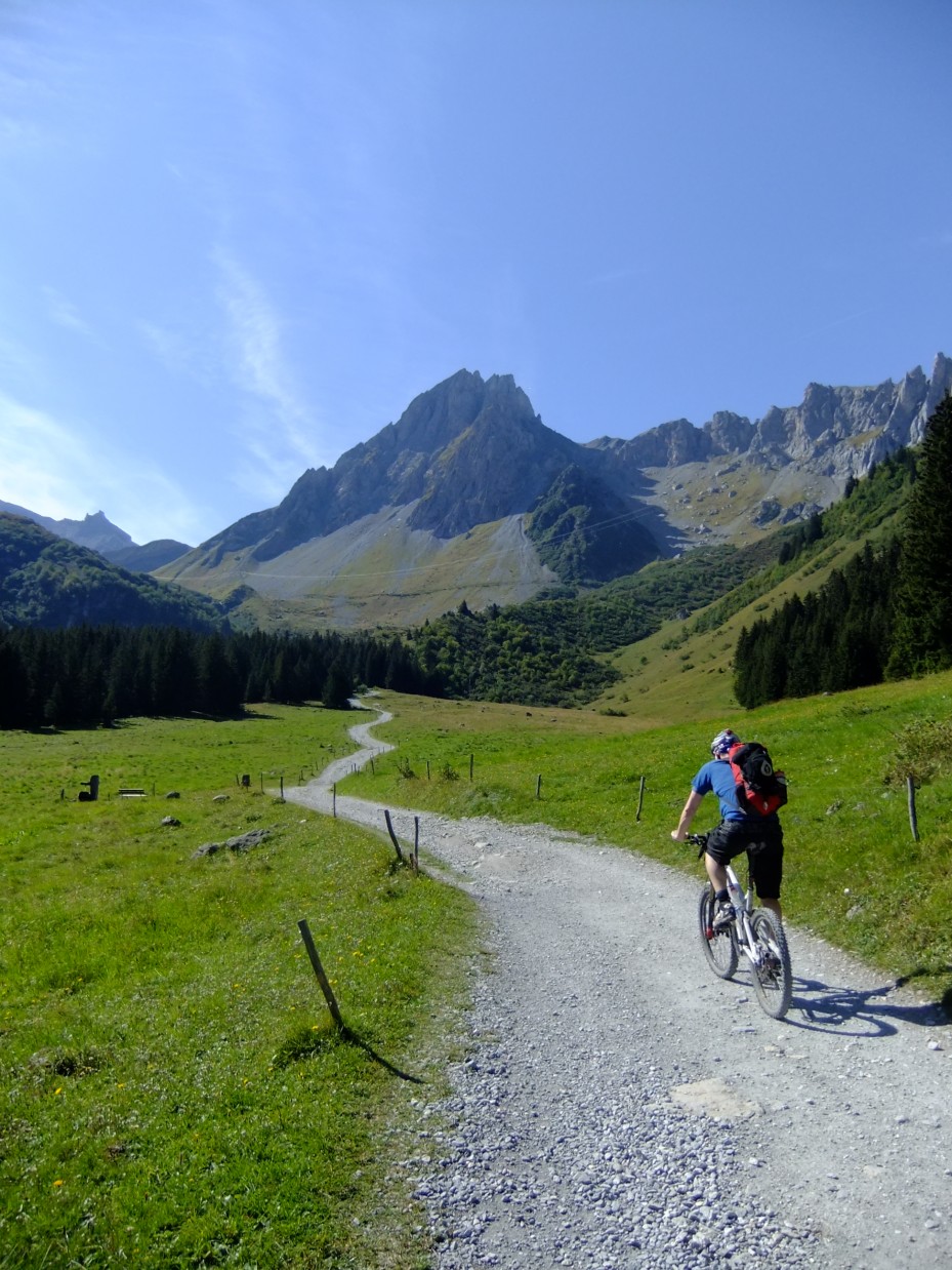
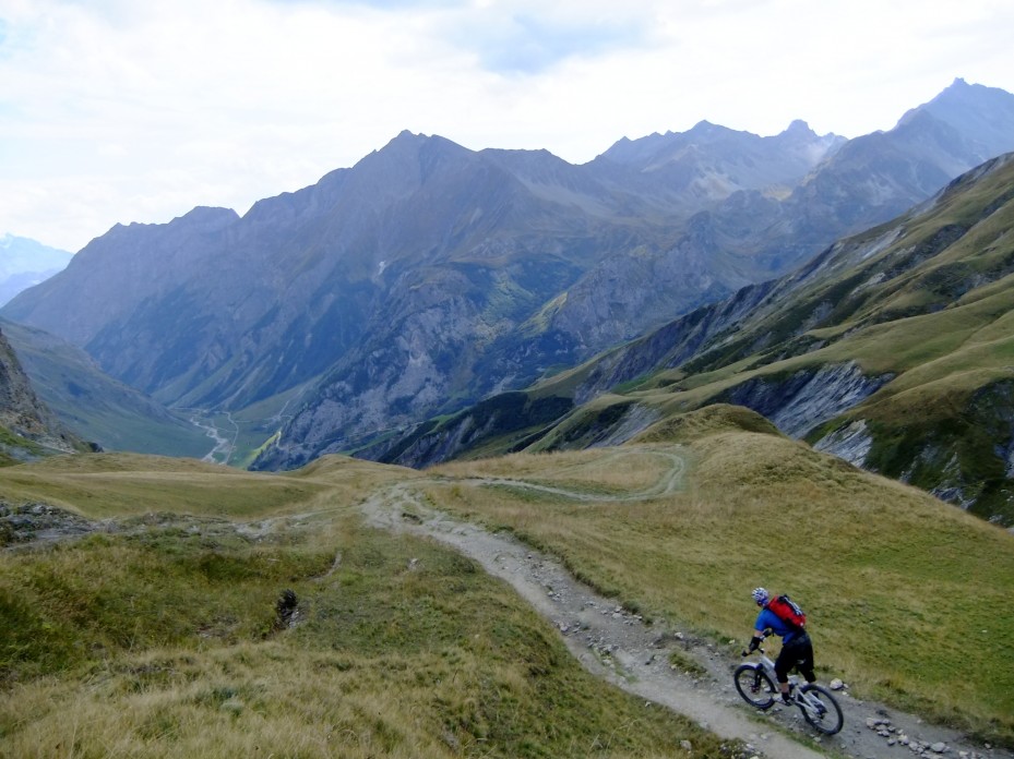
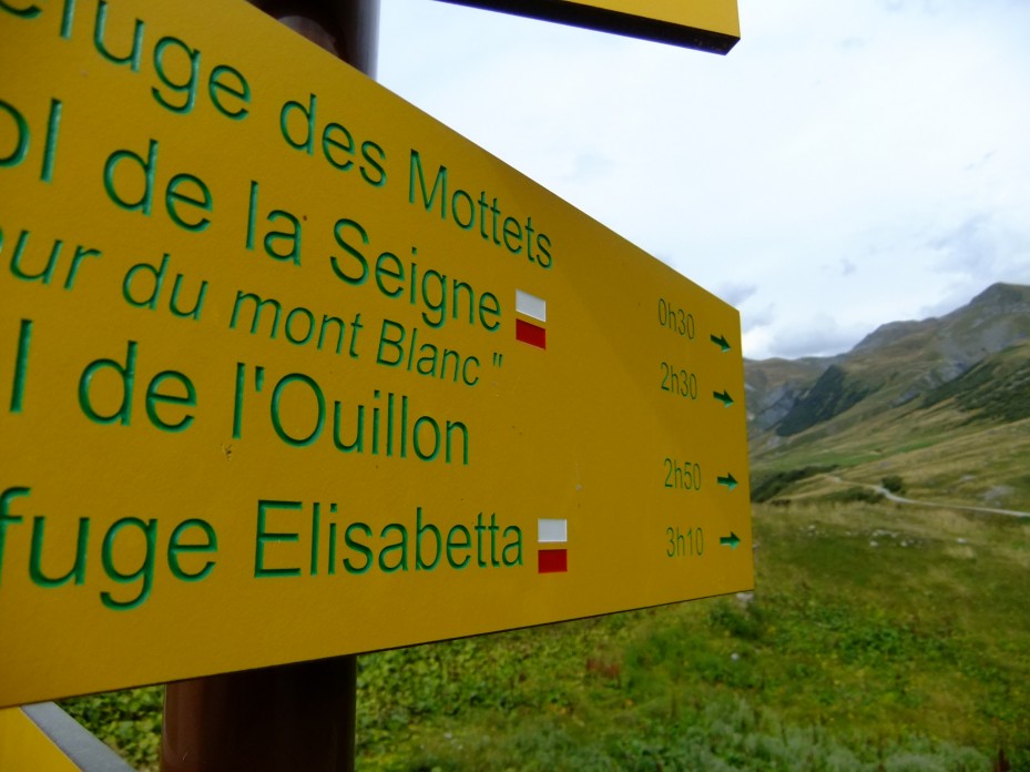
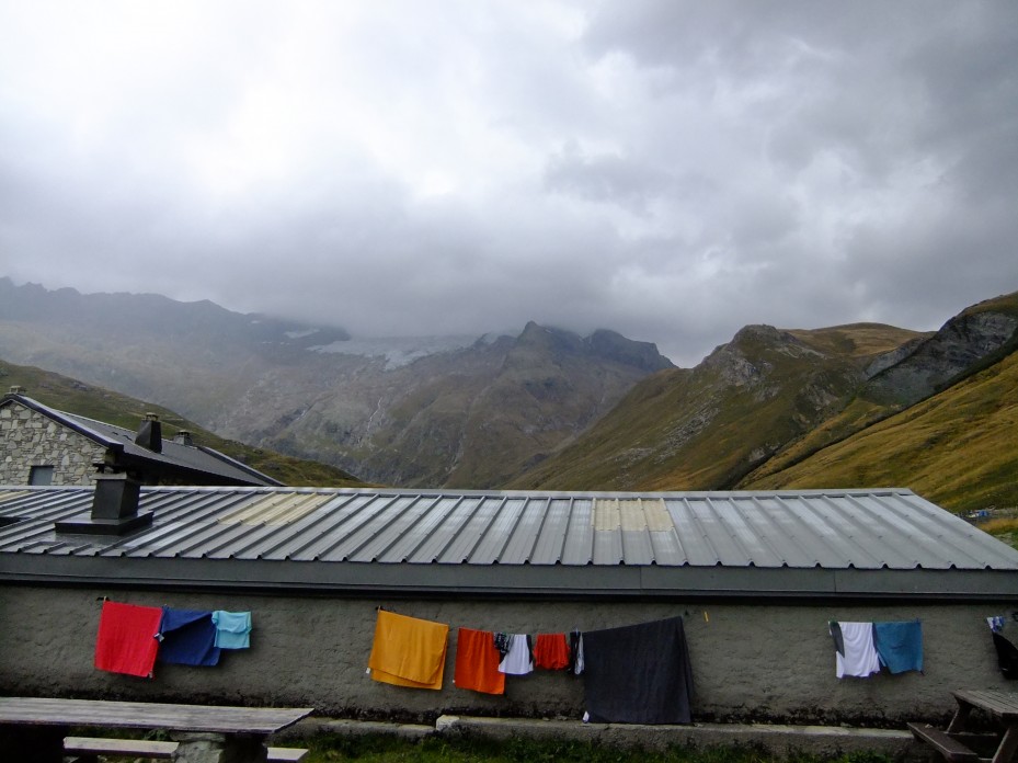
Tag: hut to hut biking

  • Tour des Combins

    Tour des Combins. You can say what you like about Switzerland, but the flag's a big plus...

    Let me break the fourth wall on the way this blog works. Usually I’ve had an idea that’s been written down long before the ride happens. Sometimes the ride doesn’t go to plan and the idea doesn’t get used. Sometimes I have a better idea. As a result there’s a file on the laptop with unused stories covering subjects as diverse as “How much fucking up of the environment is considered OK*”, “How addictive is bike riding” and “How quickly did Capucin monkeys invent prostitution after being taught capitalism” (The answer to all these sort-of-questions is “very”).

    I had an intro all lovely and written for this, then realised it was perfectly wrong. I like realising things.

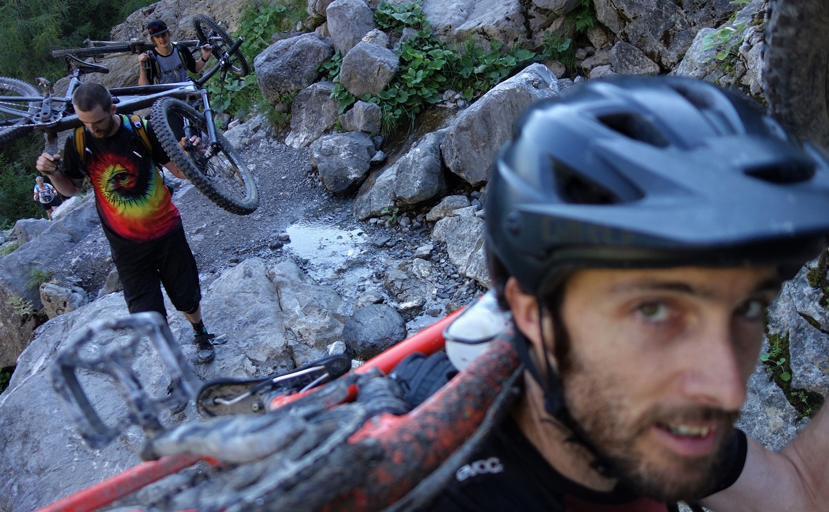
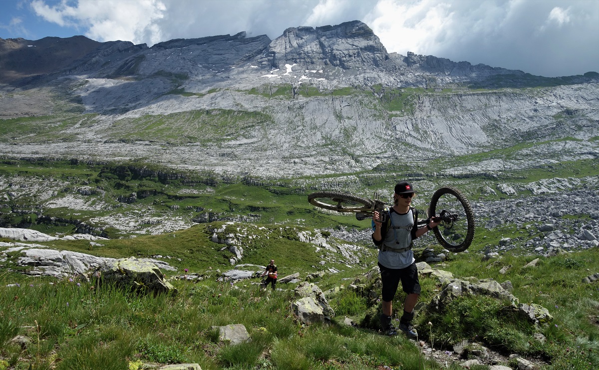
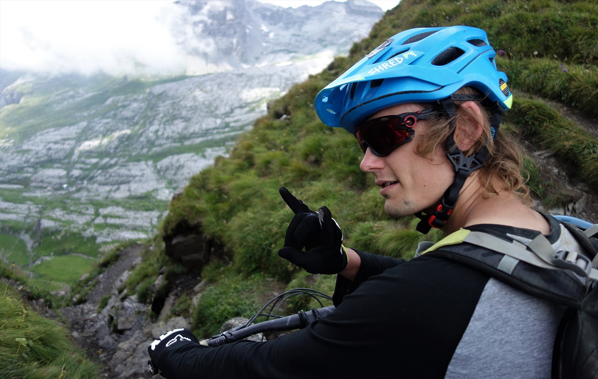
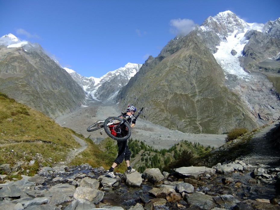
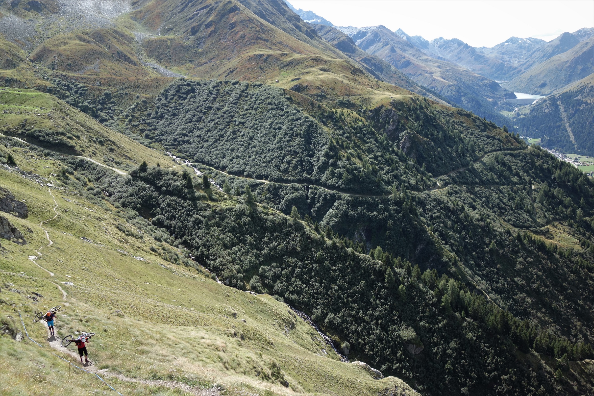
    Dave realising just how much fun carrying a bike uphill can be at 2800m

    So instead of a bit of a rant about how “Mountain Bikes” shouldn’t be called “mountain” bikes because really its “lower down the hill where the trails are interesting” bikes I’m just going to be happy about the idea of going into the hills with friends and enjoying being there**.
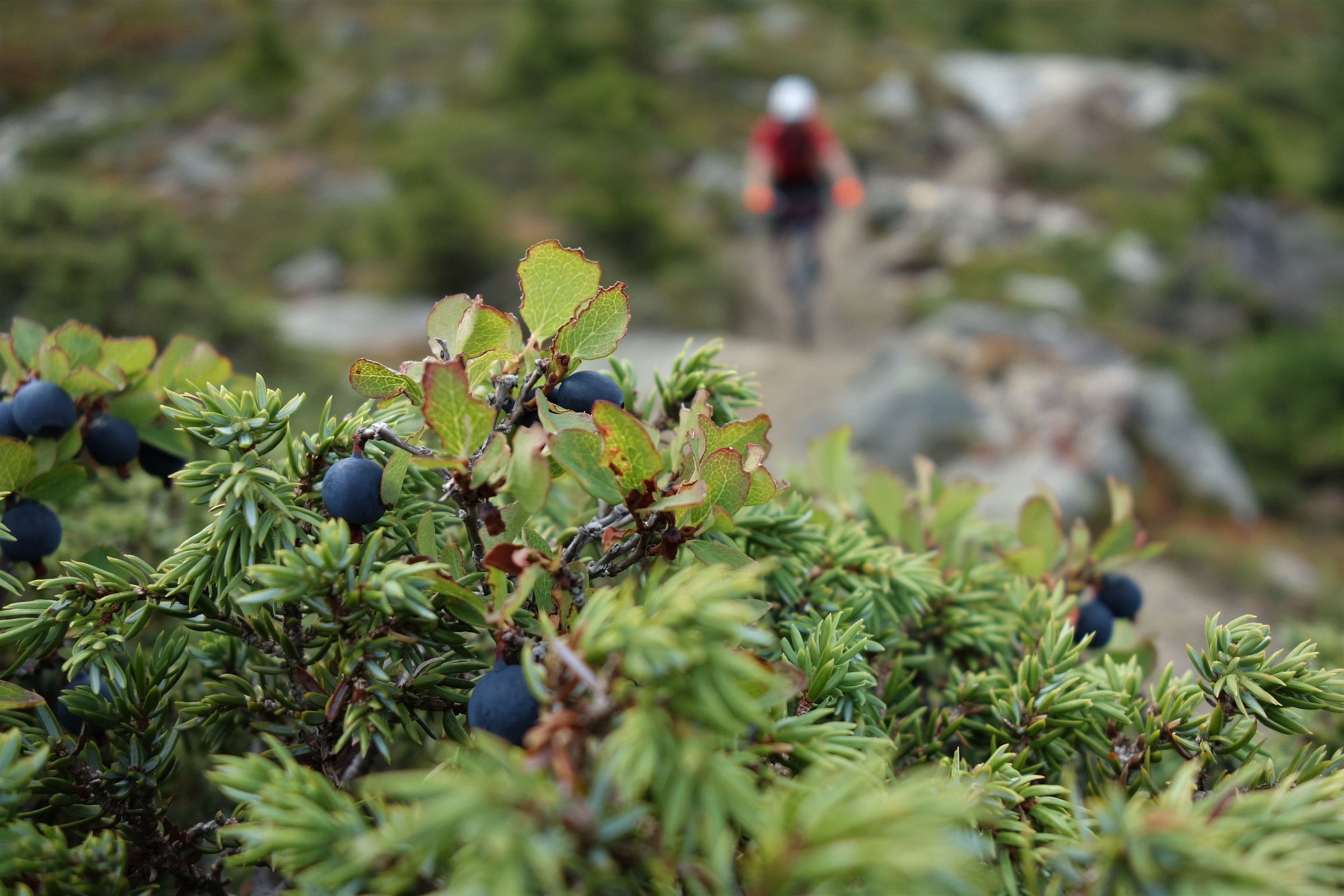
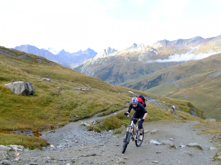
    Autumn innit. Col du Mille descent

    Because three of us went into the mountains, rode a route that we were fairly sure would be good, and had a generally grand time.

    That route would be a variation on the Tour des Combins. The ‘Combins’ being the Grand Combin, one of Switzerland’s bigger hills, and the ‘variation on the Tour des’ bit is the classic Tour des Mont Blanc esque hut to hut walk with tweeks to make it betterer for bikes.

    Having fun. Mostly.

    The first thing that made it betterer for bikes was Bike Verbier giving us a lift up to Bourg St Pierre to start the first climb of the day about 1000m higher than otherwise. If this seemed like a good idea at the time, it seemed like a bloody amazing idea by the time we were slogging up the final hill of the day to the Cabane Chanrion.
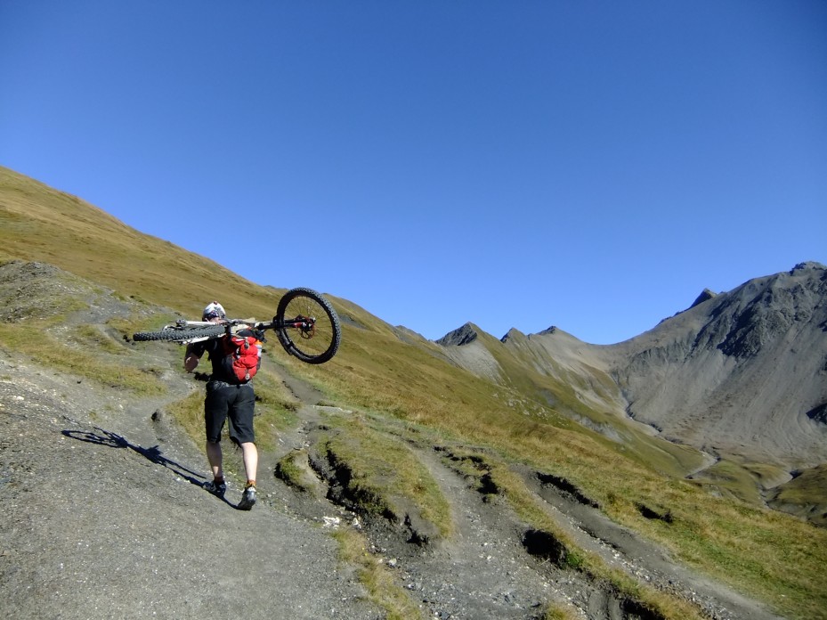
    The first hike-a-bike of the trip. First of many, we just didn't know how many....

    That’s in about 2500 meters time though, we had the initial thousand or so to go up to the Col du Mille first.

    They went.

    Eventually.
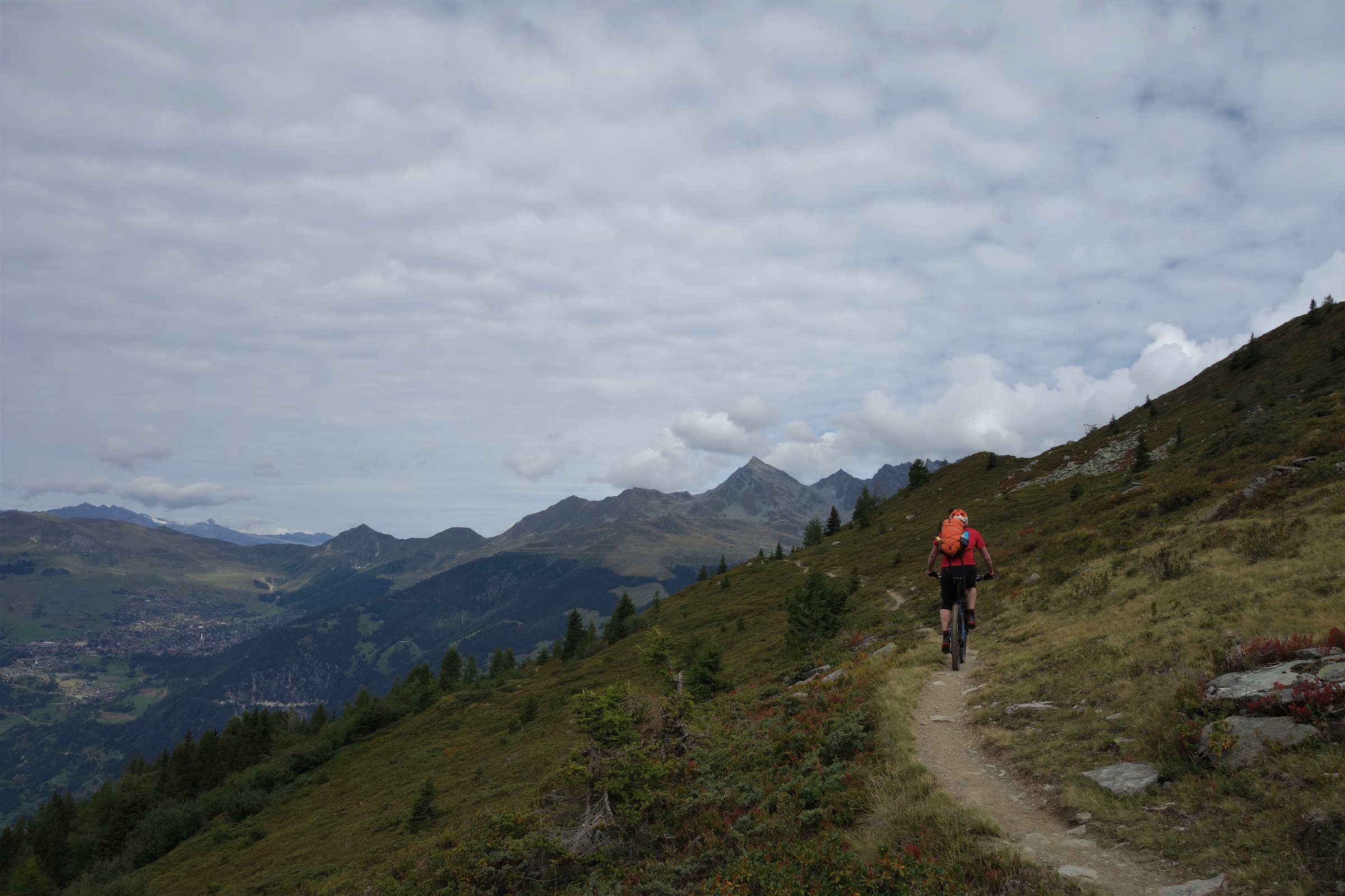
    Confusingly, this climb is part of the Col du Mille down. climbing pictures are much quicker to take than DH pics.

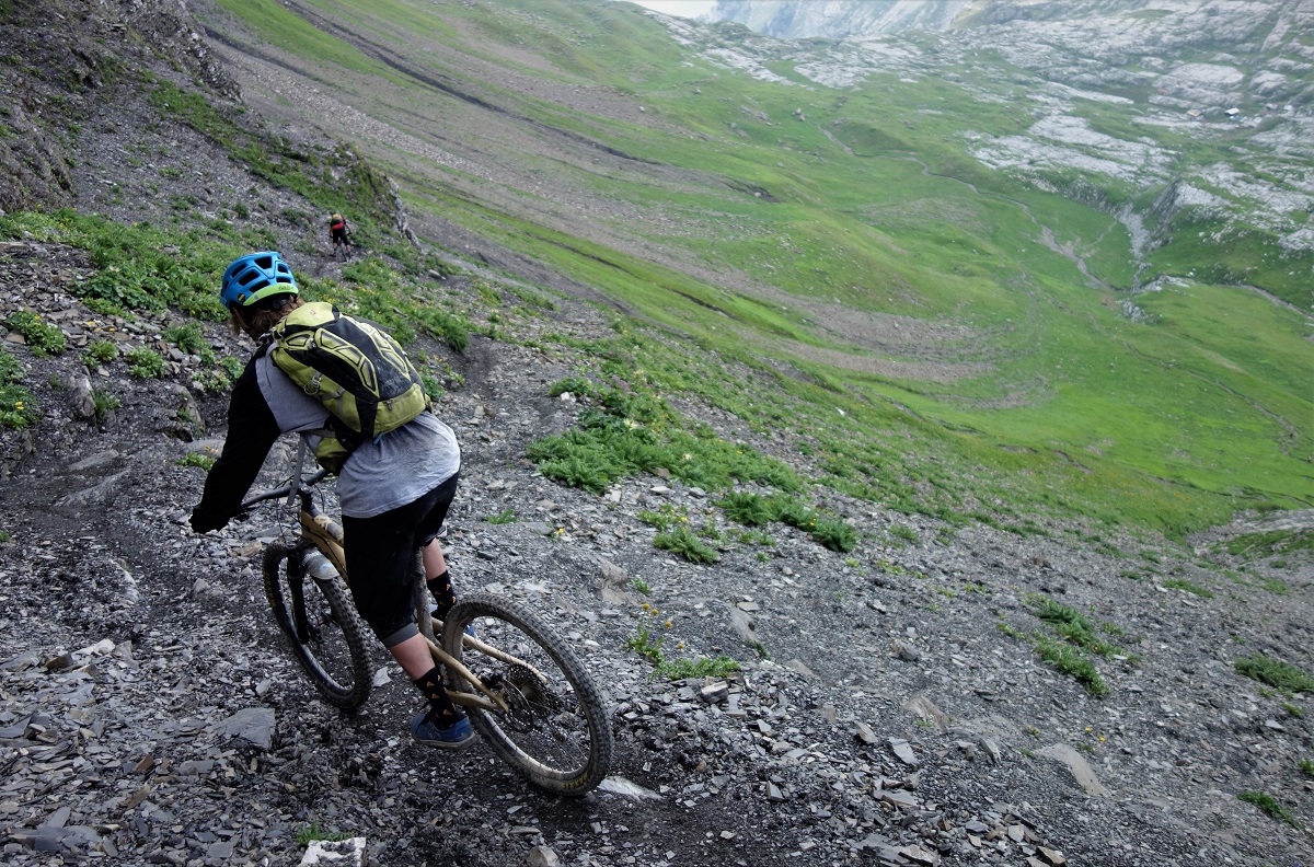
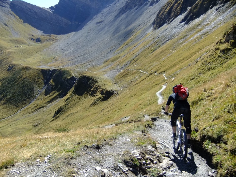
    You go up to get down, and the down from the Col du Mille is a bit of a classic. Starting at over 2400m, you’ve got a lot of winding alpine singletrack to ride before you hit first shrubby plants then the tree line. Better, just as you’re getting to the tree line you hit one of the best sections of trail I know of. Nothing too technical, and there’s better backdrop elsewhere too, but it just hits all the right sizes of turn on just the right gradient to make something really memorable.

    Sanny makes the magazine magic happen whilst Dave rides off into the Col du Mille sunset...

    Down then up, well across more than up at first, but eventually up. First on tarmac to Mauvoisin, then gravel to the Mauvoisin dam, then tunnel to Lac Mauvoisin.
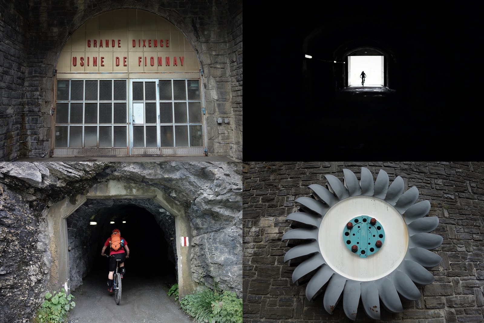
    Industry

    Aye, tunnel. With the normal valley floor trails being under 60 years of water you have to take a few km’s of tunnel along the side of the lake instead.

    You canny say the riding’s not varied in the alps…
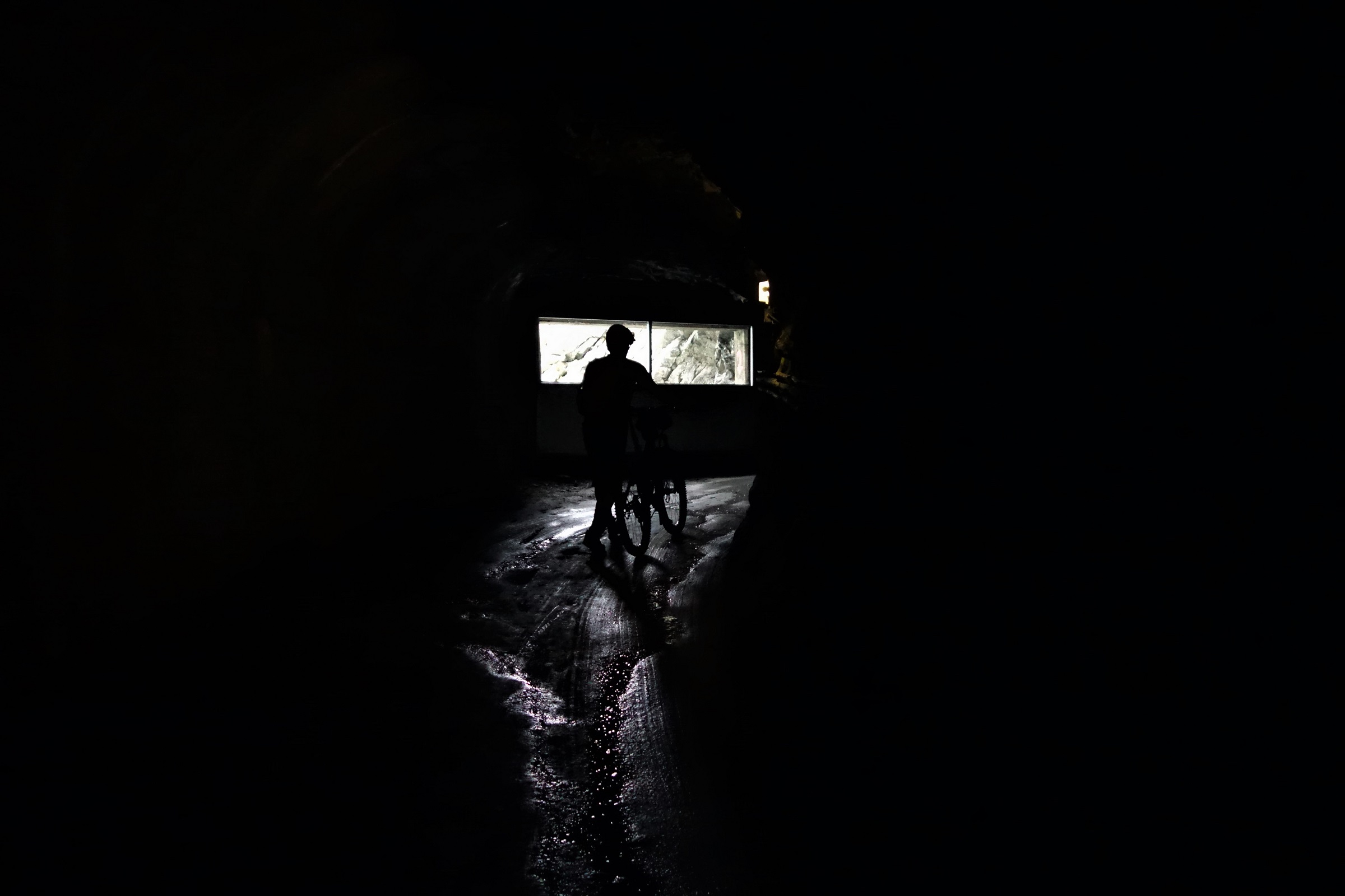
    Varied riding (pushing...) past the damn dam.

    The climb keeps going up, the scenery keeps going up, the energy levels keep going down. Thoughts of missing the 18.30 feeding time at the refuge zoo keep entering my head, along with the first musings about e-bikes.

    Forgive me father for I have sinned.

    There's a hut up that valley. 250 extra watts would really help get there.

    Turns out we needn’t have worried. As the Cabane Chanrion comes into view so does the hut guardian, stood atop a lonely peak scanning the horizon for his only 3 guests of the night.

    Switzerland or Nepal? Nearing the refuge.

    Dinner at 7pm? Why that’ll do nicely sir.
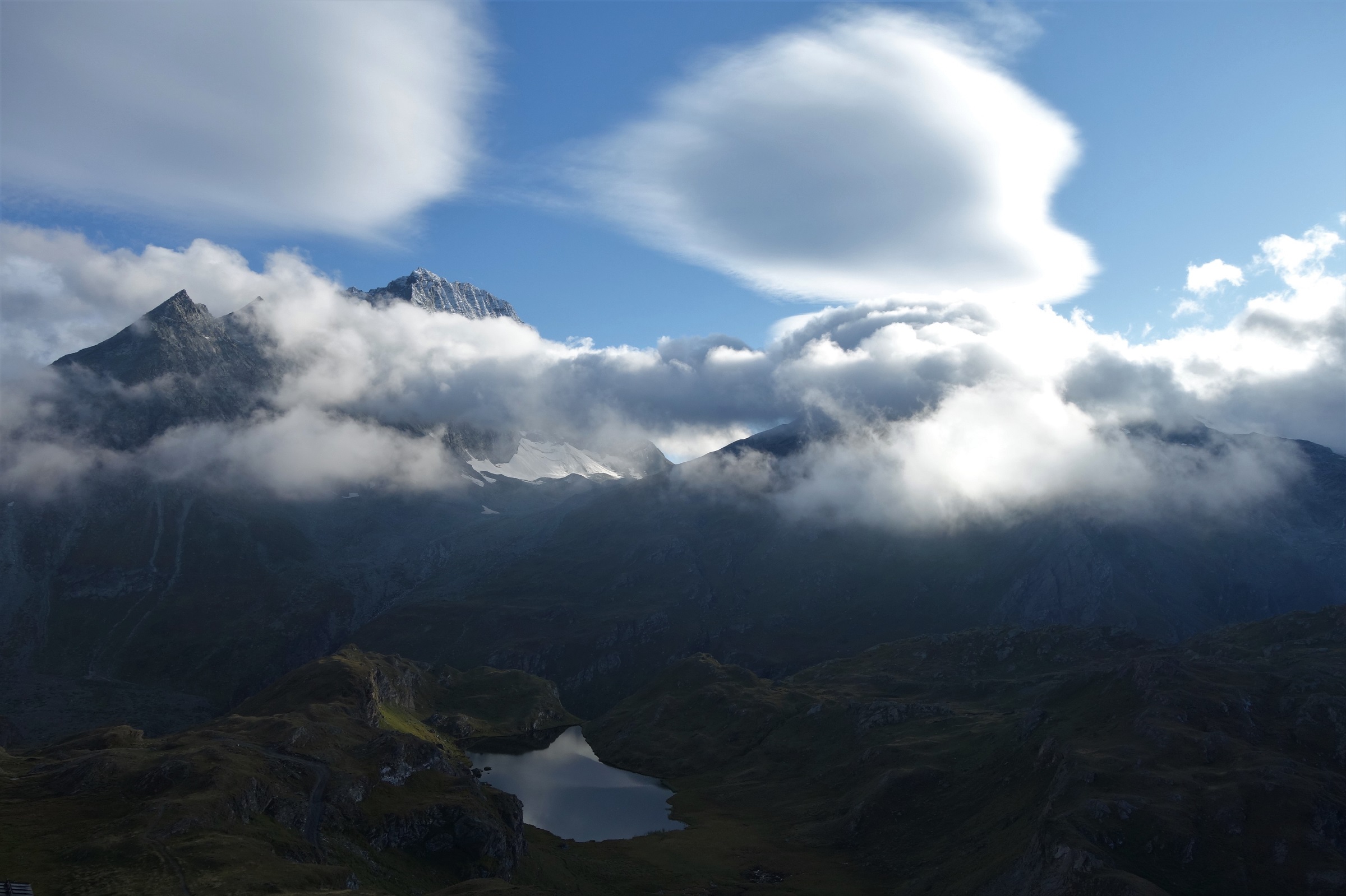
    Hut views. Welcome at the end of the day.

    This is pretty much where the original start to the tale fell apart. I should be talking about the trails and the riding and the differences but really, the best part was just beginning. Sitting outside in the sun(moon?)chairs watching the moon rise over the mountains and the stars get outpaced by the satellites had nothing to do with biking, we could have arrived on foot, skis or parapont and the experience would have been exactly the same. We have far more in common than which divides us  I guess.
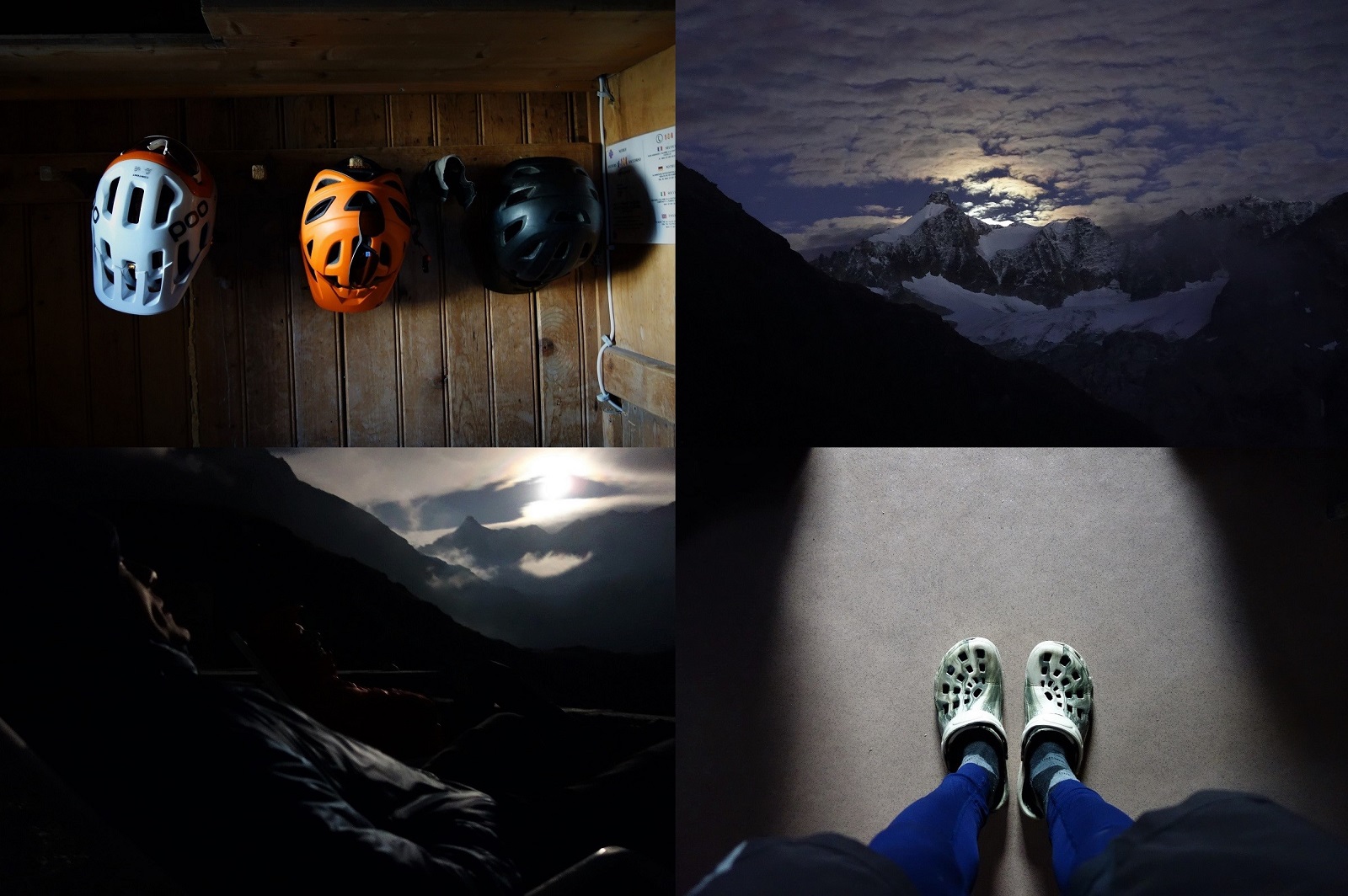
    Cabane Chanrion

    Another day with another sunrise and another litre of tea in the belly to hydrate. There are better starts to the day than a 400m singletrack descent out the front door, but not many.
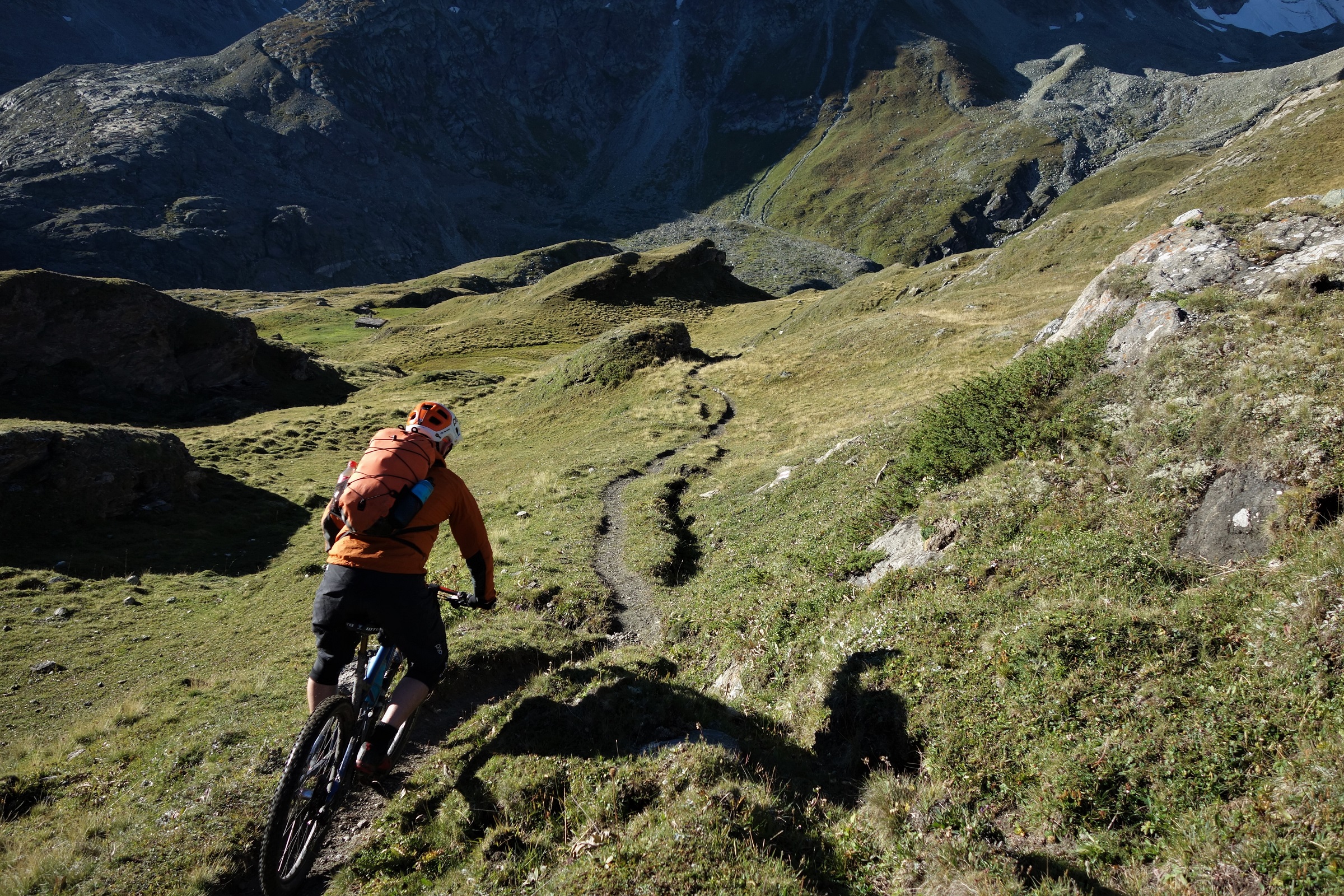
    Breakfast singletrack. Could be worse.

    There are better continuations of the morning than an 800m pedal and push to 2800m altitude, but not many.

    More than the previous example however.
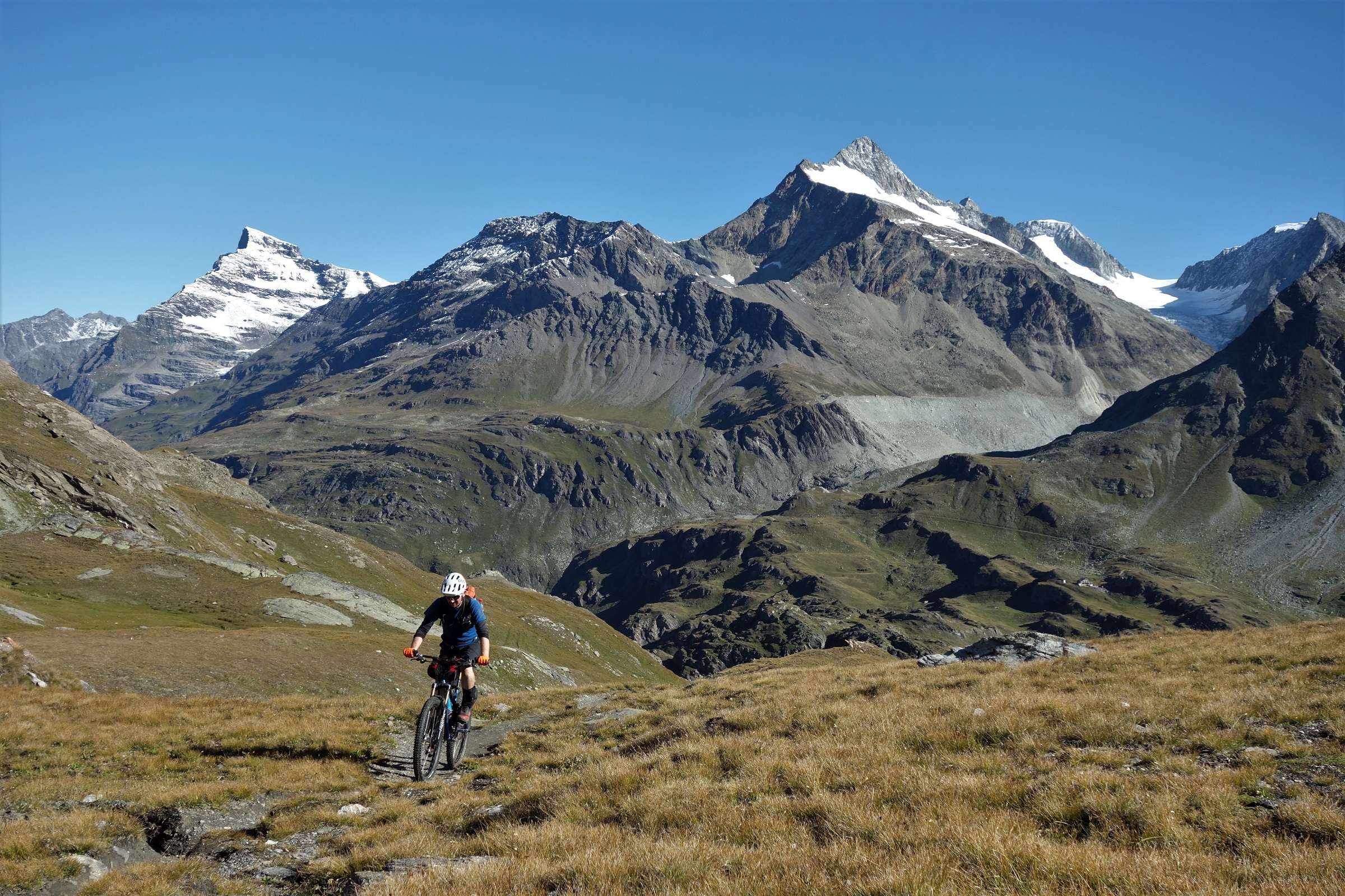
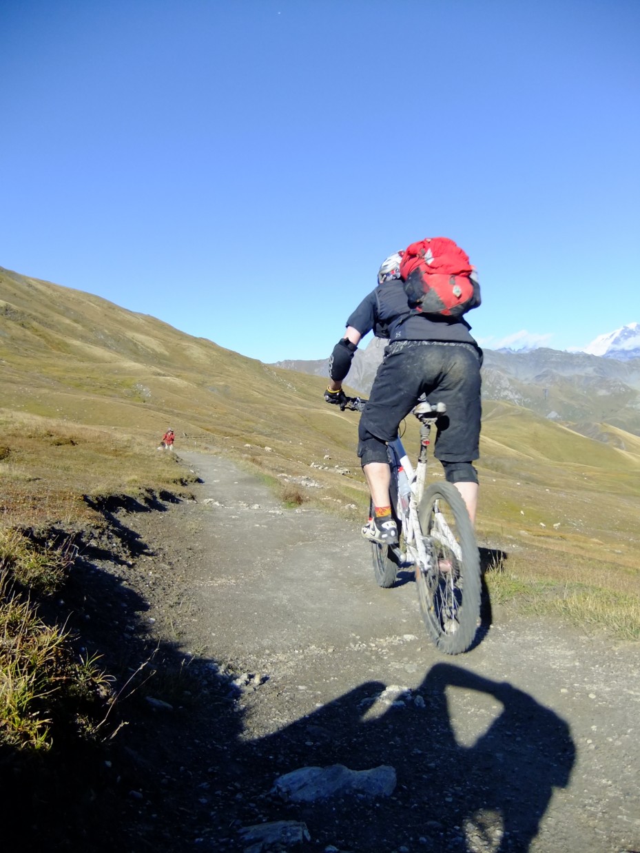
    Ride then carry then ride then carry then ride. A quick summary of the climb to the col. Sanny pictured on a ride bit.

    Passing through the Fenetre de Durand marks the literal and figurative high point of the trip, 2797m up and surrounded by high peaks and glaciers.

    Headed for the Fenetre de Durand, surrounded by high peaks and glaciers.

    It actually arrives fairly easily, the hardest part of the climb by far is lower down, by the time you get to the last few km’s to the col the slope angle has eased off and the scenery cranked up to 11 to distract you even more.

    Good col that.
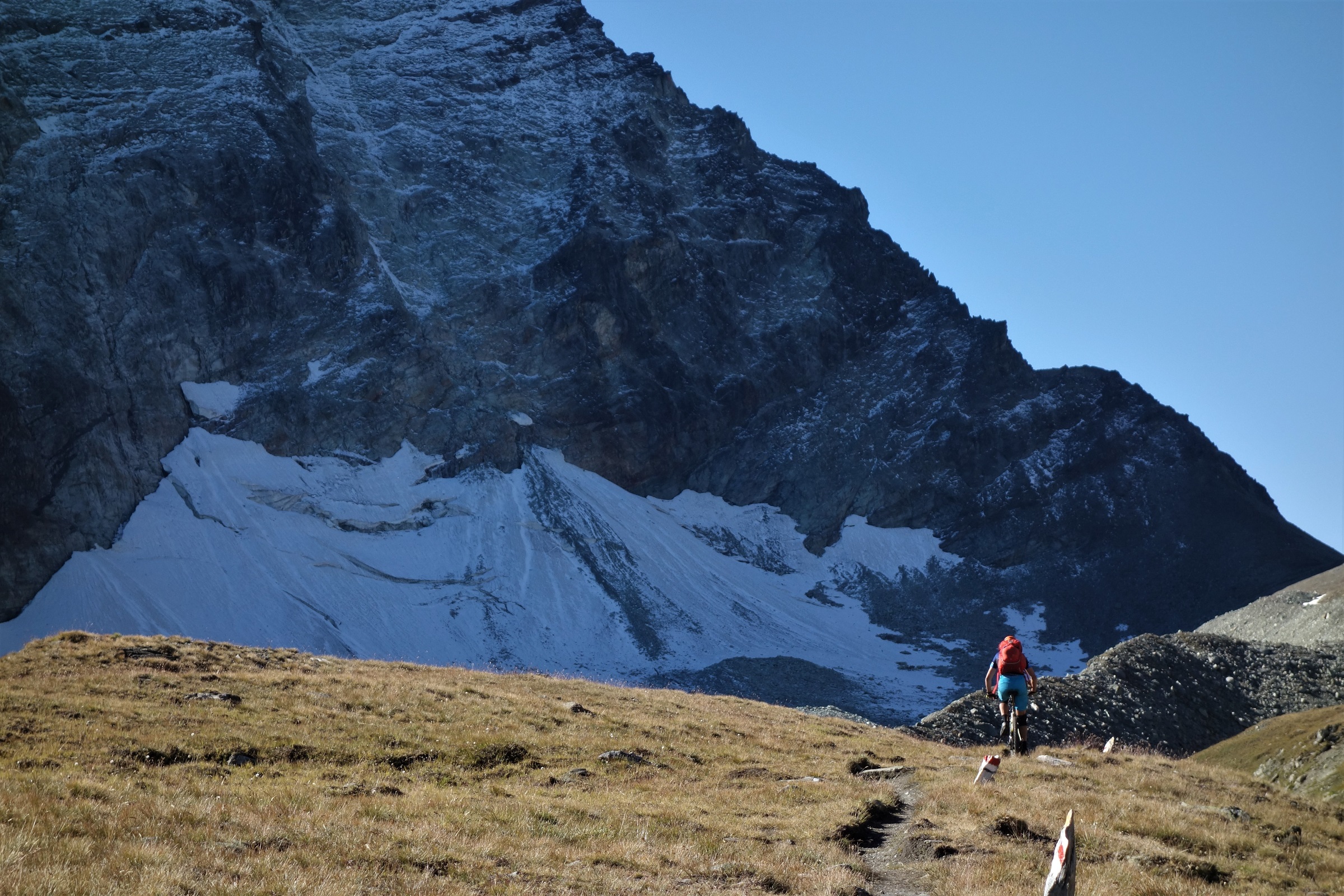
    Fenetre de Durand. Lower than the stuff about it, bigger than the riders trying to climb it.

    The descent off the other side into Italy’s no bad either. Moonscape shale and deep deep turquoise lakes that are the thing of Yeti brand managers dreams. A final tech section through derailleur hungry rocks and you’re spat out into a high alpage and the start of a long balcon trail round to Etroubles. Really long. 14km or so with barely altering altitude through some of Italy’s best scenery. Bikes are good.

    We're off to button moon, button moon. 80's childhoods, no Paw Patrol there.

    I’d had high hopes for the descent into Entroubles. After a summer of bike guiding where pretty much the whole point of riding is to go to places you know and have checked out before, this was going to be a dotted line on the map that I knew nothing about, could find nothing about, but that ticked all the right topographical boxes to give a classic Aosta valley singletrack descent.

    Still descending up by the col. It's near continuity.

    It didn’t quite work that way. GPS said we were slap bang on the trail but the ground said otherwise. I’m pretty sure there was a trail there once, but I’m also pretty sure the dinosaurs were there once too. Dejectedly we kept picking our way down through open forest until a perfectly groomed trail appeared where no map said it should.

    Keep following the map or strike out into the unknown?

    Still teasing with pictures from the upper parts of the descent. It was pretty good.

    The unknown worked out very well indeed.
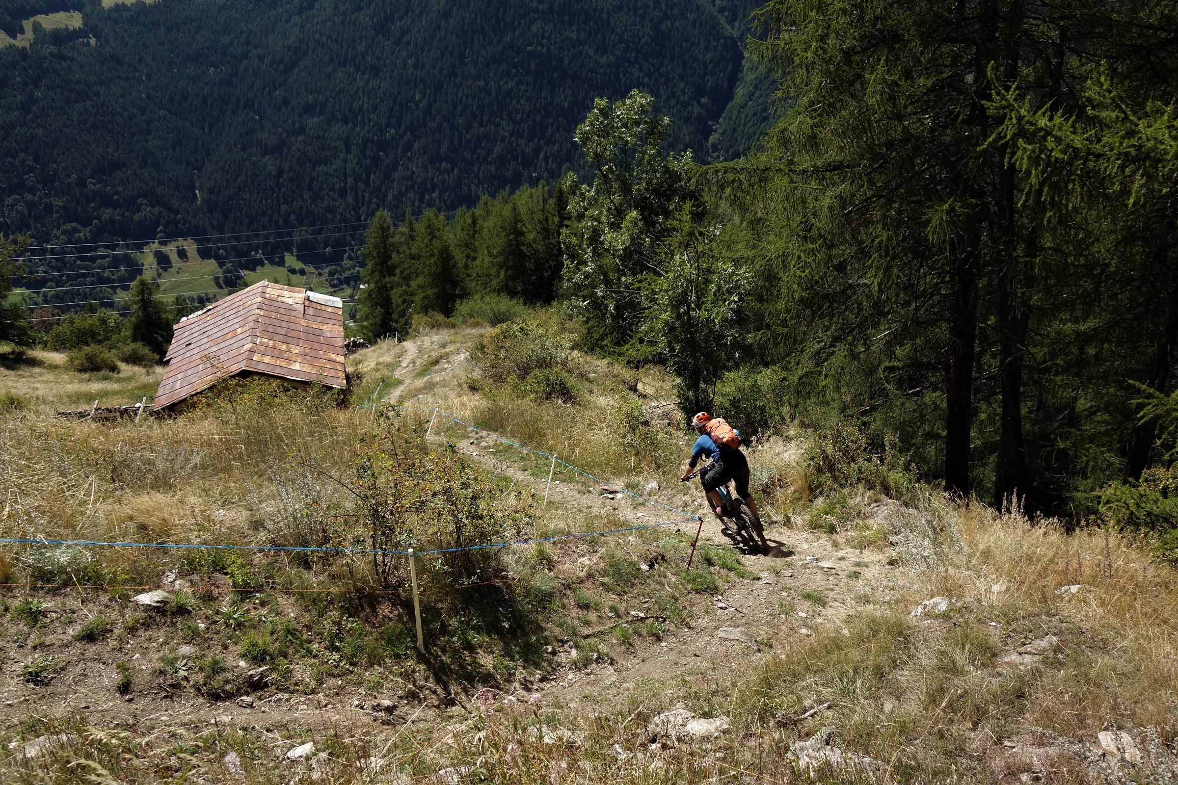
    A known known rider on an unknown unknown descent in a known unknown Italian valley. Early 2000's politics. And we though things were weird then.

    The other thing that worked out very well, the trail ended in a small Italian village. Coffee time.
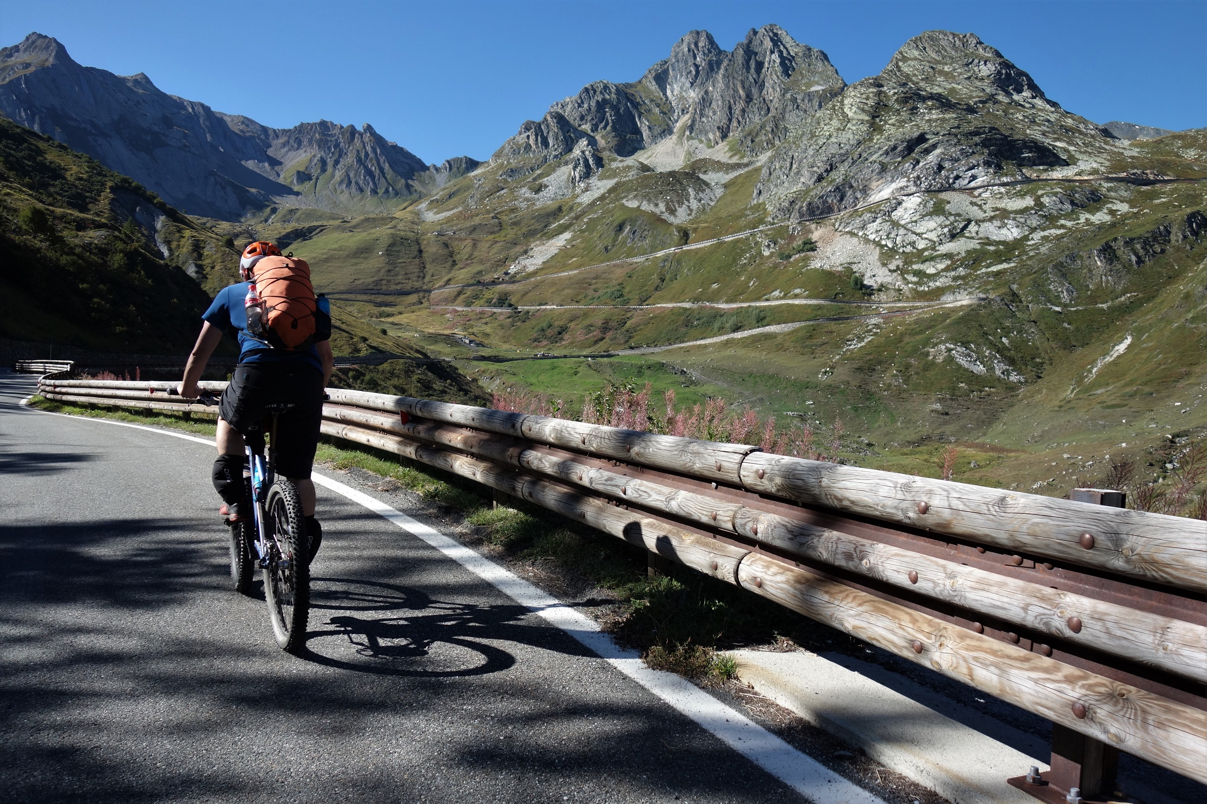
    Drink enough coffee and you too will turn into a roadie. Quick, Sanny, bag that classic col.

    Caffeine is an interesting performance enhancing drug. It was also a welcome one at the start of 900m of tarmac climbing. We weren’t going quite to the top of the Grand St Bernard pass on the road, but a couple of sweaty hours later we weren’t much off it. Classic road bike cols are better done on road bikes would be my main conclusion from that.

    Hello Bike, Hello Fenetre du Ferret. My much abused and much loved Edit v2 ticks off another classic descent.

    Here Dave, on his carbon 29’er hardtail, decided that a better time would be had continuing over the col and descending by road back to Etiez. It was 5pm with 350m of hike-a-bike to the next col and a technical descent still to go. The appeal of travelling 20km without pedalling was too much… We waved Dave off, never to speak of him again. Sanny and I shouldered our bikes and started the plod to the Fenetre du Ferret.
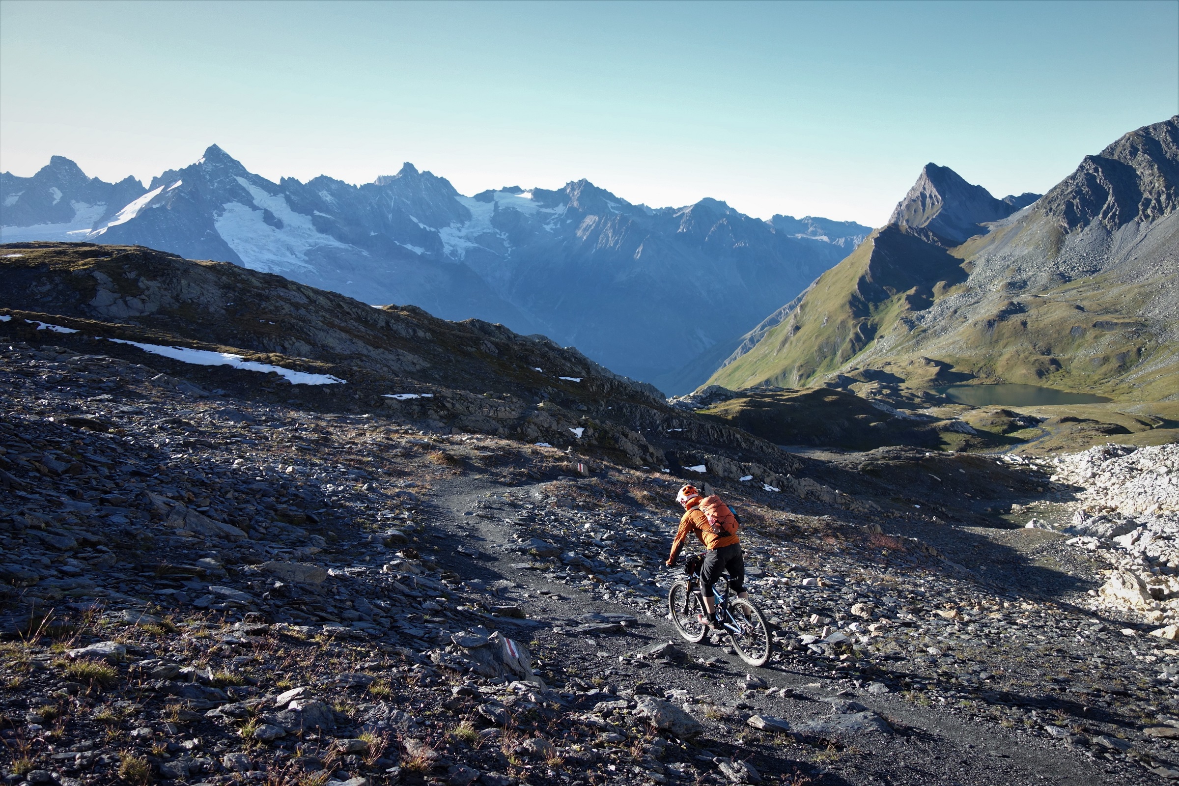
    We ain't plodding no more. Starting the drop to La Fouly from Fenetre du Ferret.

    Somehow I’ve never been to the Fenetre du Ferret before, but for a first time up there, arriving to early autumn golden hour on a perfect blue sky evening is about as good as it gets. Even with a chilly wind whistling over the rock and snow it was a happy place to be.
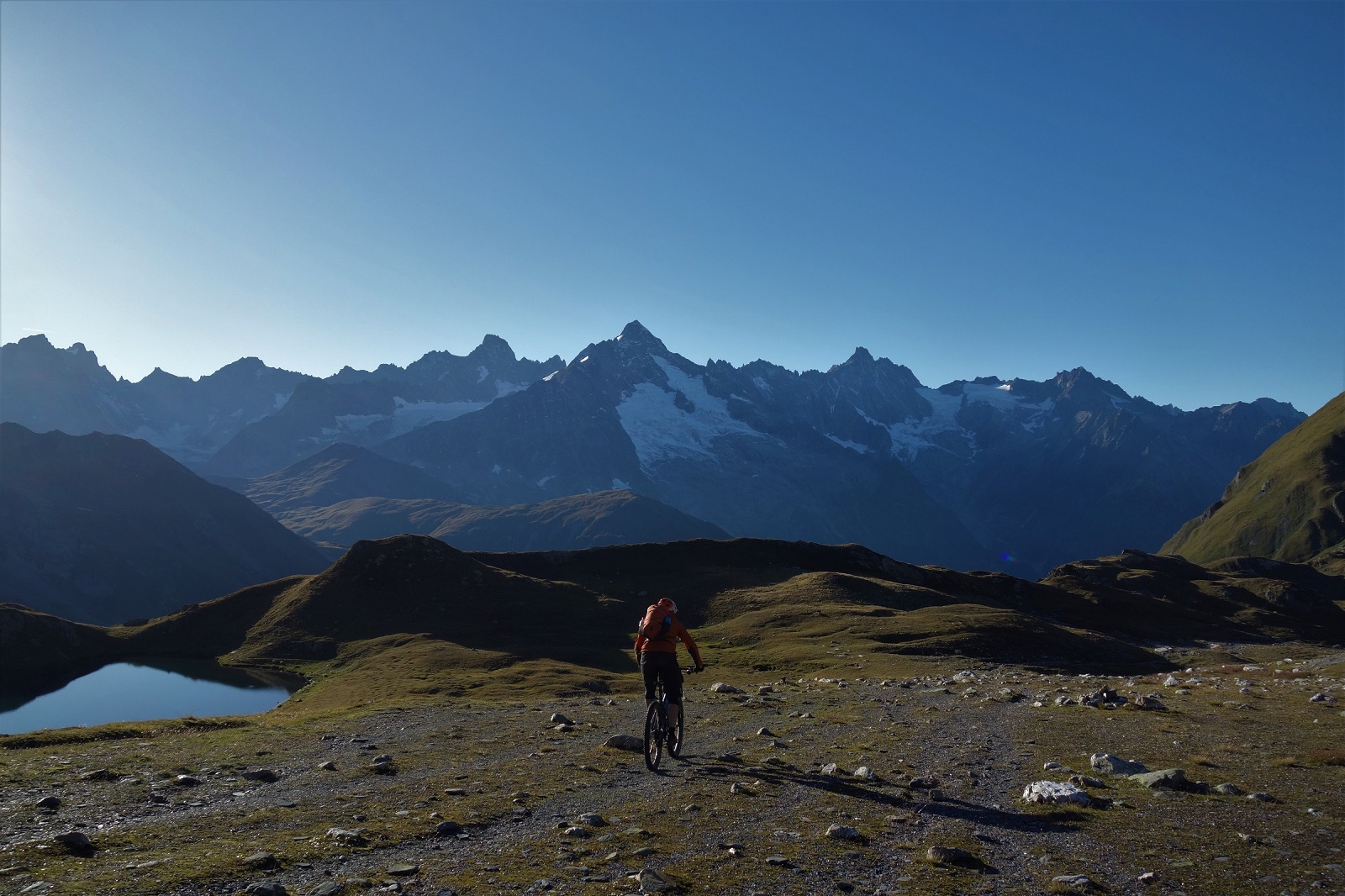
    The Alps. Does good backdrop. Very good backdrop.

    As we started the descent it got even happier. Some descents are memorable due to the situation, some the quality of the riding, some the sheer length of the descent. Dropping from the Fenetre du Ferret to La Fouly ticks all they boxes and more. Just a stunningly good ride in stunningly good scenery.
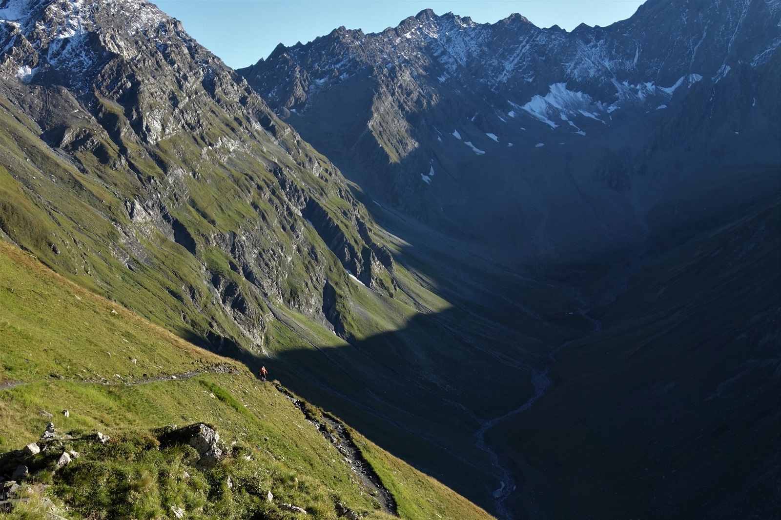
    Wish you were here? Wish you could be here without the thousands of meters of climbing to get here? Me too.

    The ride could have continued. From La Fouly there’s the Tour du Mont Blanc trails along the valley floor, a couple of climbs can get you to some classic descents from around Champex Lac or above Orsierres, but it was getting dark and I was hungry. We hit the road and tucked for a very rapid return to Etiez, in the end the full descent, some 30km and 2000m disappeared in 80 minutes. If only all human progress could be so easy!

    Sanny making progress. We descended a lot of trail like this. The fading light may have killed off the descent lower down but it didn't look so bad up high.

    Cheers and hi-fives go out to Sanny and Dave for being (mostly) willing guinea pigs to the route, Alpavista, a fellow pictures and pontification rider/blogger who gives a breadcrumb trail of clues to put together over a bit of time with a map and educated guessing to help plan routes (except his pontifications are in French which does lend them a much more poetic air than I get). And Lucy and Phil at Bike Verbier who know every trail every where and are two of the best things to happen to mountain biking.
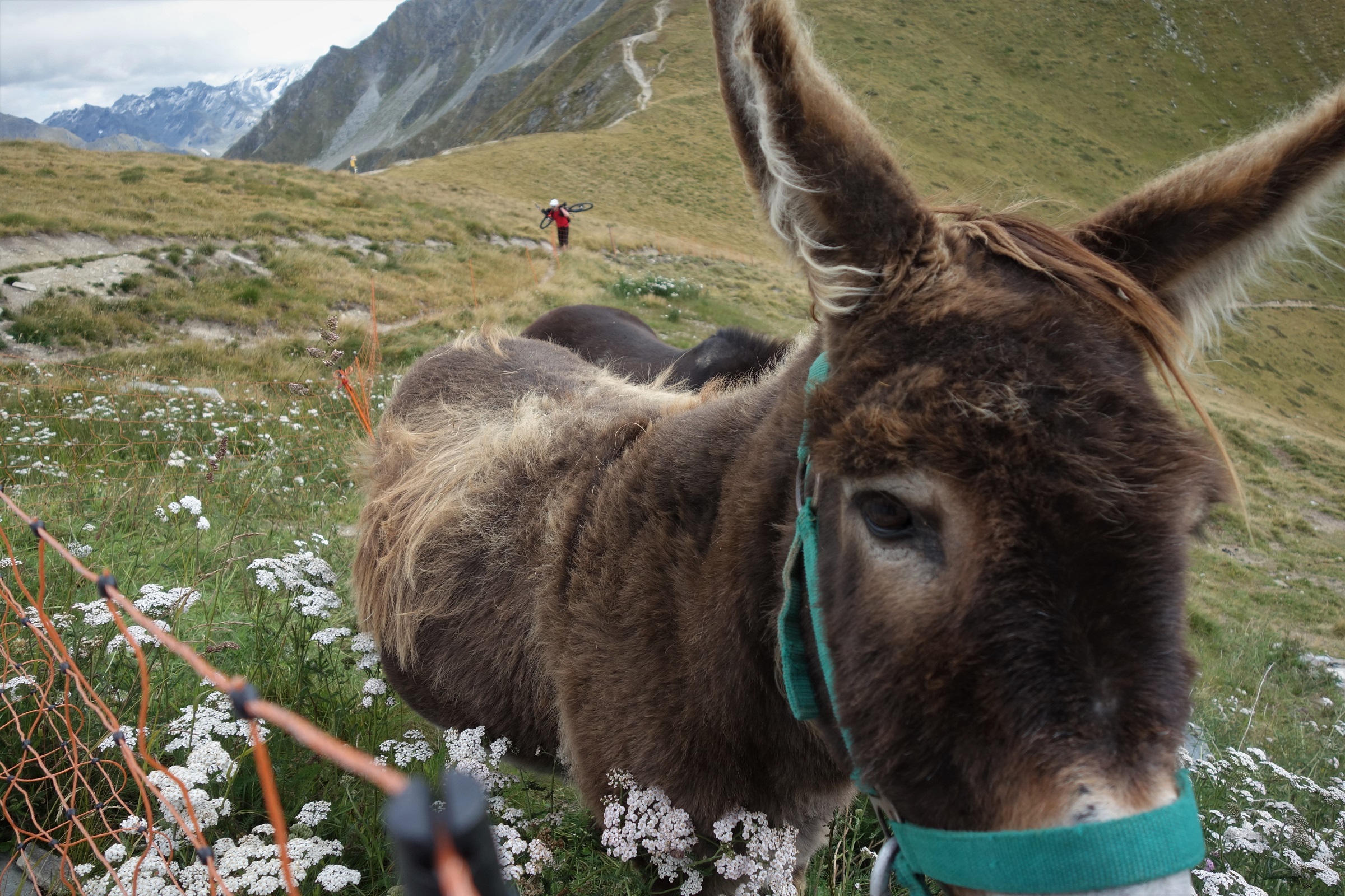
    Insert own caption here.

    *You can enter a false email address to complete the test here and not worry about getting follow up guilt trips, the point’s more to make us think about just how much we have to change behaviour to live in a way 1 planet can support us.

    **Keeping with the transparency theme, normally I get something written up and published within a few days of the ride. All this happened about 3 weeks ago but working riding my bike has got in the way of writing for free about riding my bike.

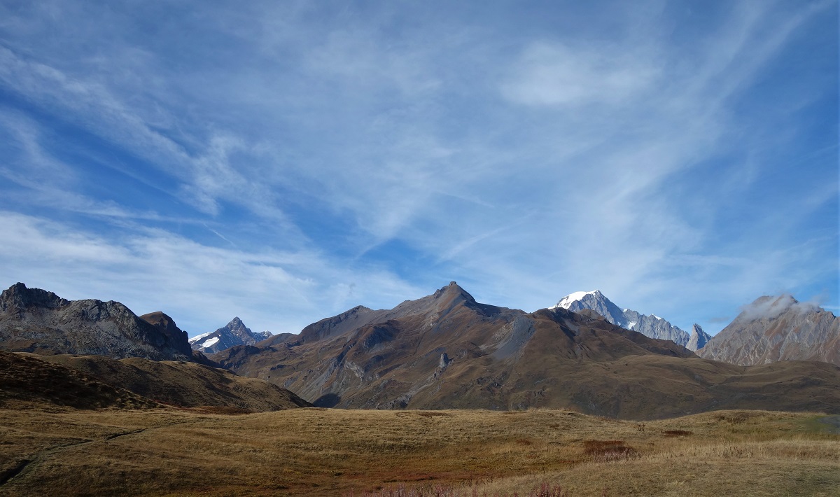
     

  • The journey, not the destination.

    Tour du Mont Blanc by road bike. It's about the journey not the destination. Obviously. What would be the point otherwise?

    There’s not really much point to riding a bike for leisure*, but at least you can normally argue you’re getting somewhere. A circular ride, not so much. A load of effort expended to end up where you started. But if I’m going to start criticising that, I’ll quickly digress to ranting about the futility of human existence and the pointlessness of life in general, and I’m not going to bother because reading the news gives me more than enough things to rant and wave my hands about to.

    Instead, embrace the futility. Enjoy the journey rather than the destination.

    With two friends visiting and a good weather forecast we came up with a destination, Chamonix, and went looking for a journey.

    Things you see on a journey. Big views.

    As all 3 of us are now older than we’ve ever been before and have taken different journeys to get to where we’re at, the analogies start flowing. Fortunately for you, the literary and film world are full of reunion journey stories which have been judged and ranked over time, so you can toddle off and enjoy them for a combined nostalgia-and-optimism-for-future hit. I used to work in sustainable transport, I’ve watched the response to the IPCC report. There is no optimism, there is no future.

    It's cycle touring, not bike packing. Just because you've been tight and simply strapped your shit onto the bike rather than using a pannier doesn't make it a different sport, it just means you're using the wrong tools for the job.

    Where was I? Ah yes, biking. Road biking in particular. I’ve only road biked once before and that was 3 years ago with the same characters. But, things seemed to go quite well then and 1000 days is long enough to forget the bad bits and focus on the good, so we came up with something a little more challenging. (I should point out that Jim and I have some form in this field. After 1 semi successful day in a canoe on Rannoch Moor, a bog that seemed easier to cross by boat than foot, we decided to spend 5 days traversing Scotland by moor, loch and grade 3 rapid. What could go wrong? Lots.)

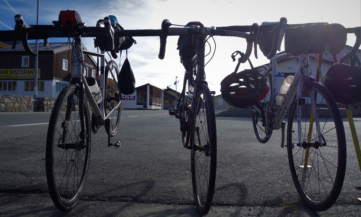
    A selection of fine steeds. Many, many thanks go out to Phil, Theo and Tim for lending us their bikes, and to voile for inventing the multi purpose ski strap.

    As we’re all tertiary educated middle class types, forethought and research was done. We rolled out of Chamonix with a detailed plan that went something like: up, down, up, down, uuuuuuuuuuppppppppp, ddddoooowwwwnnnn, uuuuuppppp, dddooowwwnn, uupp, down, up, down up, down, up, with a bit of eat, sleep drink and take the piss out of each other added in to split things up. You’ll notice that there was more up than down there. This is a problem with human power.

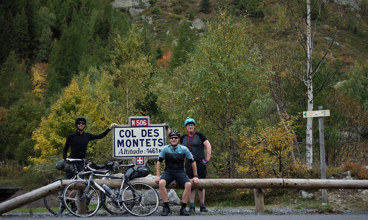
    Col Des Montets. But you'd probably guessed that already.

    Things started well. Col des Montets arrives much easier on a road bike than a mountain bike. And 25c tyres kick the shit out of a super tacky minion for road descending too. Col du Forclaz arrived with a similar lack of fuss (if you exclude the detour to play in the anti tank bunker, we’ve not really grown up much. And to be fair, everyone thought humans were going to wipe themselves out during the cold war, and we somehow missed that, so maybe we will come together and avoid catastrophic climate change) and the tarmac descent to Martigny is way more fun than the 4×4 version.
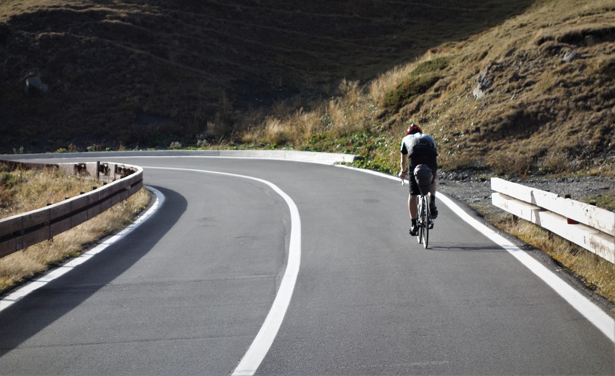
    Col du Forclaz. Well done Sherlock.

    Lunch, where we could sit and drink coffee, eat very sharp bread, and take the piss out of each other, then the climb to Grand col St Bernard. Grand is probably the right word for the climb, scale if not humour. It’s like a really shit joke, Sajid Javid stand up quality. ‘What’s 43km long and 1900m high?’ ‘The climb to the Monastery’.

    Going up. and up. and etc.

    We were laughing at the start. No one was laughing at the end (actually we were laughing a bit in the middle too when Malcolm met the cheese vending machine). It really didn’t help that there was a howling headwind coming down the valley. When drafting works at 7kph, you’ve got issues.

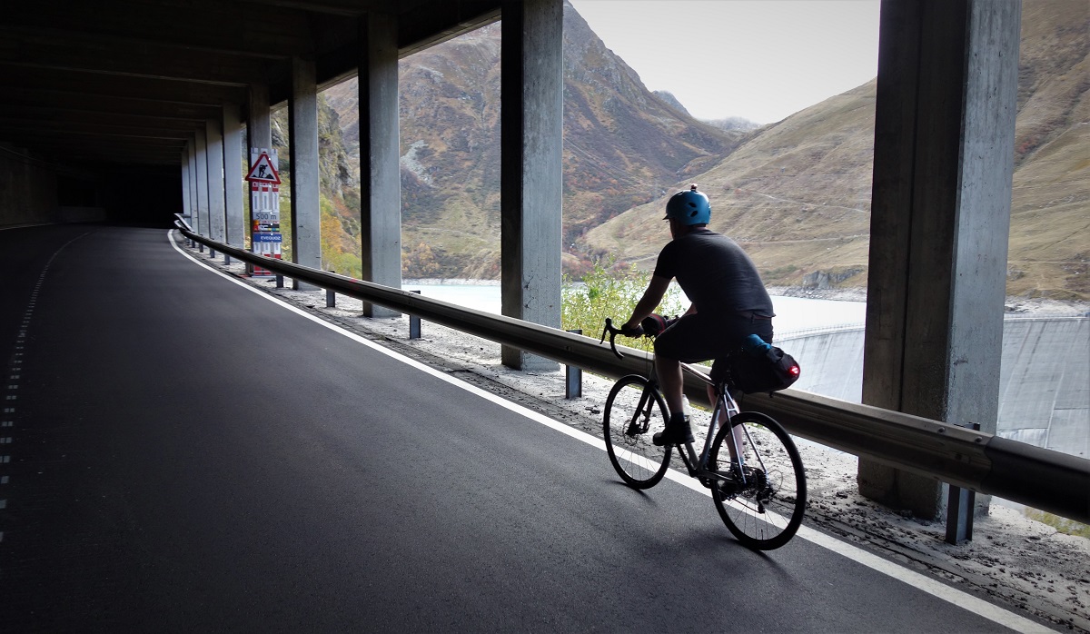
    One of the best things about being in the tunnel was the relative lack of headwind. The adjusting light settings on the camera whilst riding was just an added bonus.

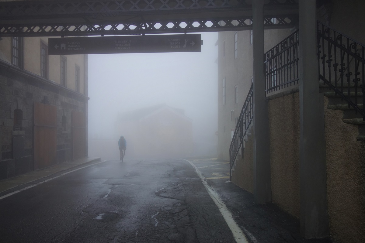
    When I was planning the ride I’d imagined perfect alpine weather and sublime views of the Grand Combin to distract us from the numbing discomfort of a climb that drags on a bit in a car never mind a laden bike, but the weather hadn’t read my mind and had gone all silent hill on us. By the time we crawled up to the Monastery you could hardly see the other side of the road. So this wasn’t the time to discover that the Monastery that never shuts was locked up. And it wasn’t just us. A random Italian family was trying with equal lack of success to find a way into the building.

    A fair amount of my time at uni was lost sat in rooms as Silent Hill got played in the background. This all felt quite familiar. Aaarghhh, ZOMBIE. Kill it.

    Turns out we were all just a bit rubbish at opening the blast proof door. We got in, we had some religious tea and soon felt good enough to go back to dealing with the world.

    Col du Grand St Bernard. And as it's the morning, you can even see some of the buildings, woop.

    Staying in a monastery does seem like a slightly odd choice I’ll grant you, but the St Bernard monastery is a bit of an outlier. For a start it’s at 2500m, so the views are quite good. Or would be if we could have seen much beyond the end of our noses. It’s also a refuge, and at 50chf for bed n board, about as good value an option as you’ll find in Switzerland. As an added bonus, it’s the last few days of the col being open before its winter closure (which lasts until June, winter lasts about as long as the climb up here) so the refuge is dead quiet. We get an 8 person dorm to ourselves and with only 12 people around the dinner table and food cooked for considerably more, we eat well. This is good because Mal the doctor has concluded we are something like 3000kcal in deficit and need to eat more.

    St Bernard Monastery stuff.

    The second day was always meant to be the ‘easy’ bit. Start with a massive descent, 35km and 1900m, down to Aosta, go for cappuccino, pedal along the relatively flat roads along the Aosta valley, go for more coffee, pedal some more, coffee and food some more, before the one climb of the day, complete with more stops for coffee and topped off with a long descent down into France and food.

    Simples.

    You know you're in Italy when...

    And it kinda was. Our overnight fears of the damp roads freezing were unfounded, instead with 2 degree air temperature and 98% humidity it was only us that froze on the initial descent. After 15km or so of steadily losing height we got out into the sun and kept cracking on. And on. And on. Descending is fun.

    You know the opening scene from The Italian Job, where the Lambo' is cruising up an alpine pass to the sound of Matt Monroe until it meets a digger? Well, that's this pass that is.

    Aosta city came as a bit of a shock. For a start it was flat rather than downhill, so we had to pedal. Then there were vehicles fleeing everywhere. And there were potholes. Still, it’s no Glasgow and we were soon out of town and onto the first coffee stop.

    A flat road and a big hill. So describes about 20km of the second days ride.

    Since we’d left Chamonix the day before we’d pretty much either been going up hill or down. There had been flat, but not very much. Now, with Mont Blanc in front of us and some caffeine in the belly, we were riding rolling flat roads. On the drops and in a line, road biking really started to make sense. You were putting effort through the pedals, no doubt, but not so much that you couldn’t easily hold a conversation, and we were absolutely flying along. You just canny cover ground like this on a mountain bike. Tunnels and villages flashed by and we were at another selection of cafes for lunch.
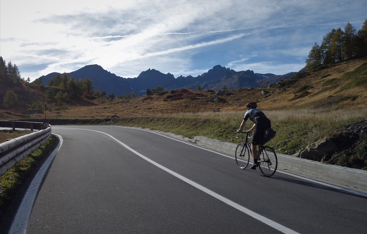
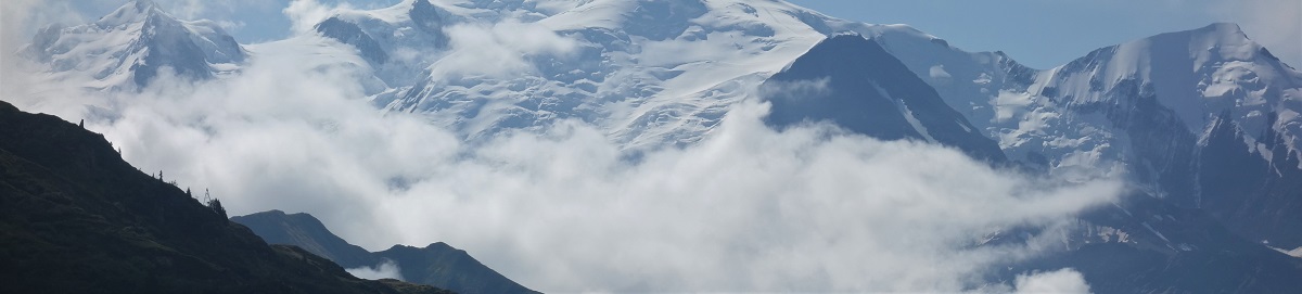
    I might seem to be over selling this, but I really enjoyed the climb. How couldn't you when it looked like this?

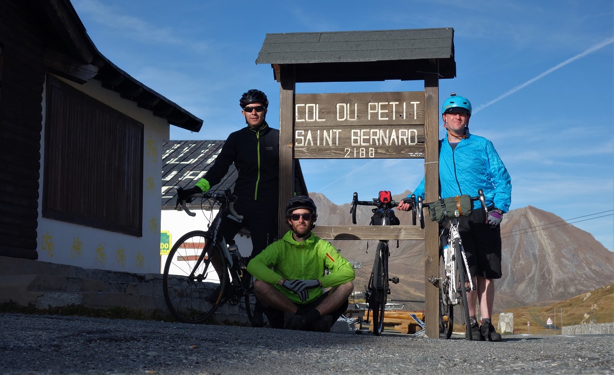
    The Aosta valley terminates with a bunch of big hills. The easiest way out is the Petit St Bernard pass. At 2188m the petit bit is questionable. Still, it’s less than yesterday’s climb and under blue skies and mid October temperatures it was hard to feel too intimidated.

    Nearing the Col du Petit St Bernard. Whit a place tae be.


    What a stunning climb. I’m really not used to the idea of climbing being enjoyable. Skiing and mountain biking the climb is a means to the end, the destination is the down, but on such an efficient bike the switchbacks up through the trees with Dent du Geant and Mont Blanc peaking through the foliage, the rolling road passing small villages and tunnels in turn, the rise out of the treeline and into the alpine, the huge views as the col drew near. I was in a happy place.

    At the col there was an open bar selling beer. Now all three of us were in a happy place.

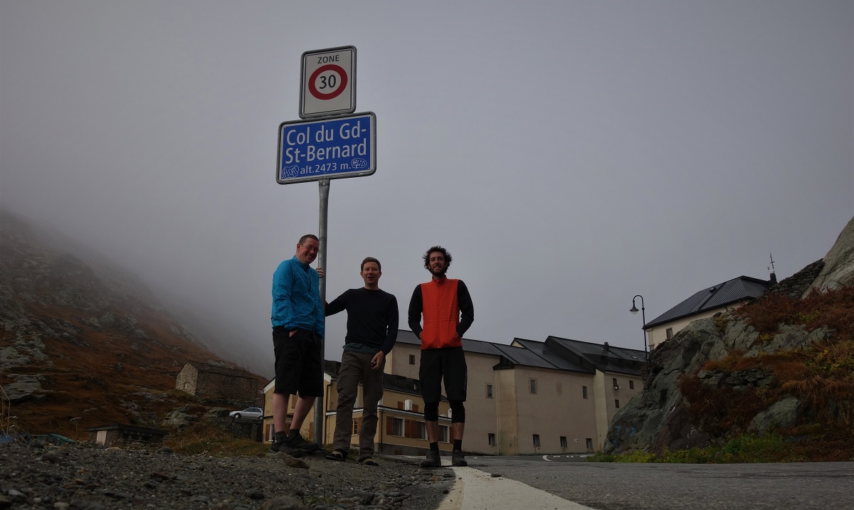
    Col du Petit Saint Bernard. I'm not sure what happened to make the lad so much smaller here than on the Swiss/Italian col. Mibbies he ate his way across Italy?

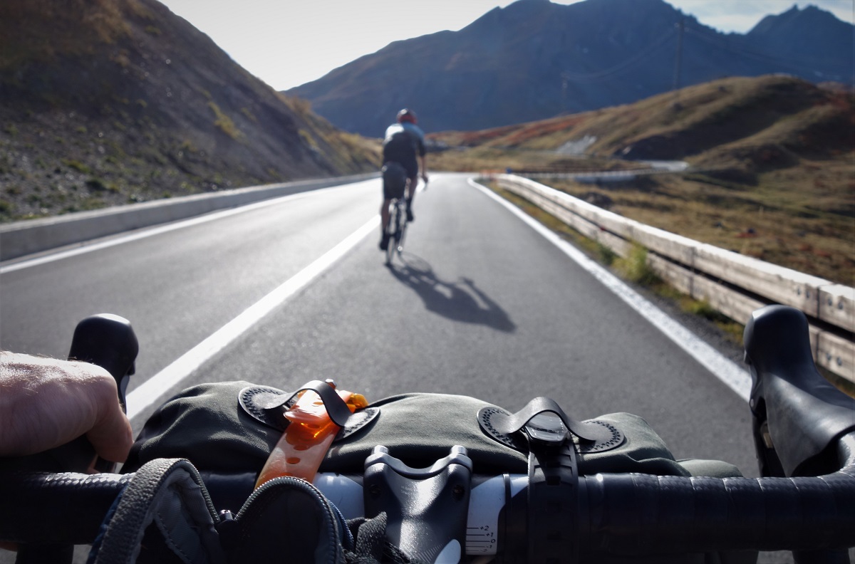
    The descent to Bourg St Maurice did nothing to burst my euphoric bubble. Descending first thing that morning on damp greasy roads hadn’t changed my mind any on the idea that road bikes are rubbish for going downhill on. As La Rosiere came (rapidly) into view I still wasn’t planning on putting drops on my Edit, but having abandoned MTB technique and channeled Sagan (not Froome) things were really clicking and the meandering road with massive sight lines was just flipping awesome riding.

    France before it got potholey. Still stunnin'.

    What could bring us down? Potholes, that’s what. Swiss roads were as impeccably smooth and clean as you’d expect from Switzerland. Italy seemed to have laid fresh tarmac earlier in the week in anticipation of our arrival. France hadn’t got the memo. From the Col to La Rosiere had been ok going, but leaving La Rosiere things deteriorated. A lot. Individual potholes you can bunny hop easy enough, but what do you do when the road is one big pothole and your entire tyre is smaller than the tread on the real bike. Slow down and weave about like a drunk is the answer.

    It wasnay all bad, but if the 73 could just re-lay the road for the next time I’m there then that’d be grand ta.

    Hard to describe just how amazing the light was at this point, and trying to take photos at 50kph is not a long term solution. So you'll just have to extrapolate.
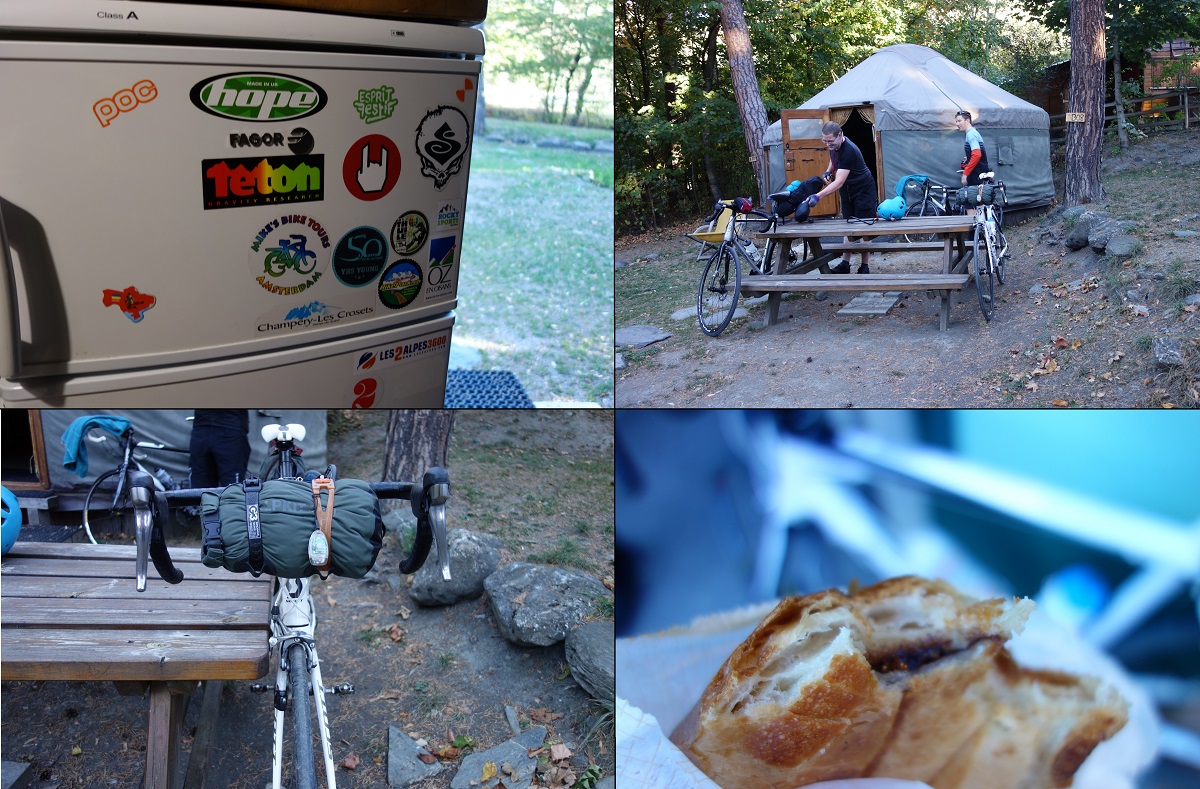
    And with that done, our second nights accommodation came into view. Le Relais Camping and a Yurt. Because why not.

    Bourg innit. Do you think the campsite is bike friendly then?

    Reading multi day riding advice before our trip, the importance of a recovery drink as soon as possible after finishing each days ride was stressed time and time again. With the biggest day to come tomorrow we took this very seriously and headed straight into Bourg St Maurice to find a bar and marvel at the technological masterpiece that is the new Super U carpark.

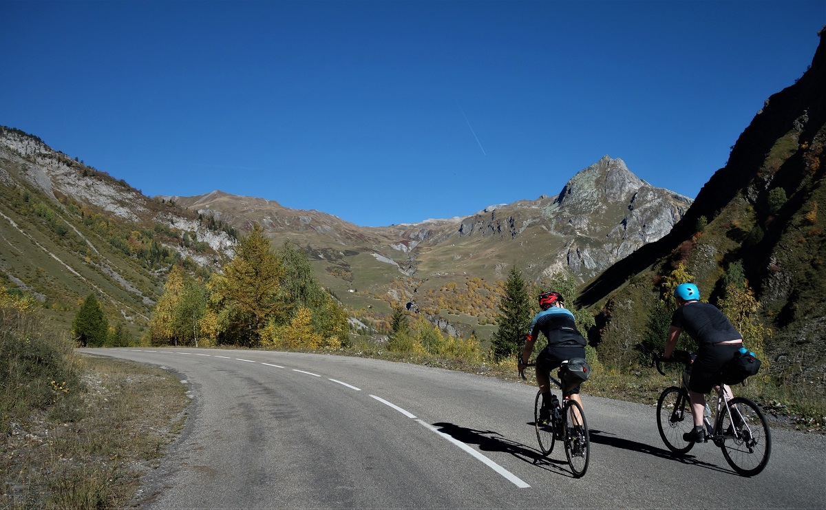
    Malcolm and Jim on the climb to Cormet de Roselend. There was a lot of climb to take photos of....

    We did plan to start early on Saturday. On paper (or on screen, doesn’t sound quite the same does it) it looked easy enough, 2 cols and 2 smaller climbs spread over 120km, but everyone I’d chatted to said that this was the bit that kicked them in the arse. We’d fine out soon enough for one way or another but not before we’d tracked down breakfast, which turned out to be the best damn pain au chocolat I’ve had and a leisurely coffee. Leisurely was probably a mistake.

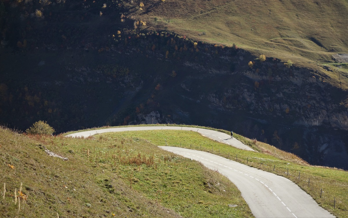
    Jim, climbing.

    At 10 we were heading out of Bourg and starting up the climb.

    Jim, still climbing.

    At 11 we were still on the climb.

    Malcolm. Also still climbing.

    At 12 we were still on the climb.

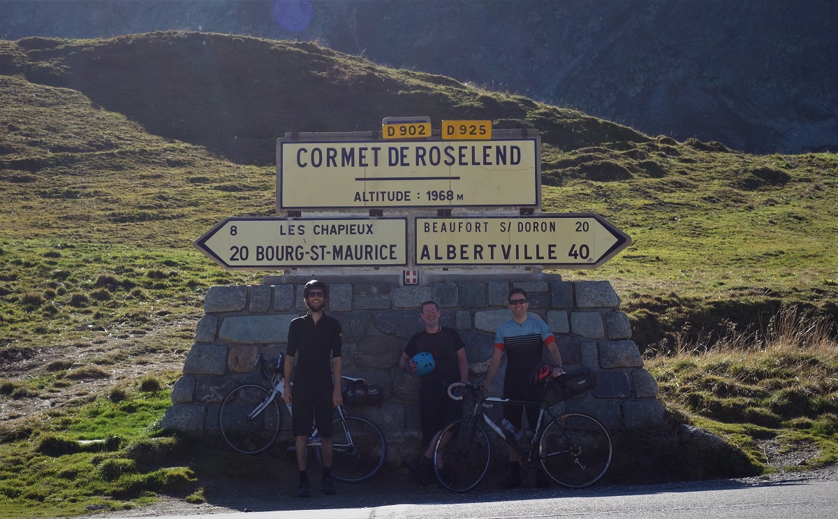
    Cormet de Roselend. It does exist.

    It turns out the climb to Cormet de Roselend does go on a bit. Quite pretty though, and somehow I was still enjoying myself.

    Pretty views to enjoy.

    As seems to be the way of these things, the descent was about as long as the climb, and perfectly enjoyable too. Finally getting to go to Beaufort (which is the secluded French mountain town you imagine when you imagine secluded French mountain towns) and get a cracking lunch only added to my general good feelings about the world. And a nice shorter climb to go next too.

    Jim climbing up the descent from Cormet de Roselend. Wait, what.

    1000m of climbing is shorter than 1100m of climbing. If I was finding my minor errors in pre-ride map reading slightly painful, Jim’s opinion of it was un typeable. My promises of a water fountain in every village weren’t going down too well either, particularly when we had to detour downhill into Hauteluce to find one. No, there wasn’t a downhill detour back up to where we left the route.

    If we're cycling round Mont Blanc, why am I heading directly away from it? Malcolm loving the climb to Col des Saisies

    The Col des Saisies may have featured a bar selling carbonated sugar and a pumptrack (of course I did) but alas no sign to let you know where you were. As taking a photo of each col is the recognised way to navigate on a road bike we were left wandering about in circles trying to come up with a solution. Which was to stand in the carpark.

    Stood in a carpark at 1633m. Saisies, up yer col signage game eh.

    We were now 65km into a near 130km day and it was 15.30. Those of you with memory and maths skills will have deduced that we’d been on the go for 5 1/2 hours. It gets dark at about 19.30. Something somewhere wasn’t going to add up. I checked my lights still had some battery in them.

    Views/potholes/views/potholes/views/potholes

    Being at the top of a col meant we were going downhill again, which does wonders for your average speed if you can pay attention to the road rather than the scenery. Not only that but before long we were back onto kent roads, from near Flumet was ground we’d all covered before and somehow that makes it easier. Onto the uphill drag past Praz sur Arly and Megeve and we were again on the drops and battering through the distance. The long straights towards St Gervais felt easy as we cruised along at over 40kph. We might just manage this before it gets dark.

    One of the consequences of 'making progress' is keeping the camera in the pocket. So here's a non chronologically sequenced shot from the day before with an implication of progress made by the off axis orientation of the shot. And you think I just empty the memory card into these collections of infinite monkey typings.

    After getting stuck in traffic for a whiles we took a back road detour and freewheeled into Le Fayet, then struggled to accelerate from a standstill in the stiffest gear to make it to the tabac for another round of cocacola, 35km done in roughly an hour.

    Cruising outta Le Fayet before things got steep.

    Dark of course isn’t just about light. Mood and atmosphere also feature in the metaphor. Climbing the short way out of Le Fayet to Servoz may have been lit by the daylight, but the ascent was done in the dark. Road bikes don’t like proper steep gradients.

    Seeing as everything else is about the end, lets go back to the start, day 1, somewhere steep.

    The new Servoz road by contrast is cracking, a tarmac pumptrack of rolling fun and frolics through the woods and on to the start of the Vaudagne climb which, as you look at the dual carriage way cutting round the hillside with minimal height gain, feels just a bit unnecessary. It doesn’t matter though. We could walk up this climb and we’ll make it now before the sun set.

    Destination beer. 330km 9300m

    Rolling back along the road between Les Houches and Chamonix it feels like a lot more than 3 days ago we were heading in the same direction between Chamonx and Les Praz. A few hours later in the bar it feels like a lot less than near half our lives ago we all met in a halls of residence. Which all confirms that time is relative and non linear, despite non of us studying physics.

    Somewhere between La Thuile and Col du Petit St Bernard. Or between heaven and paradise.

    What of the literal journey completed? Another lap of Mont Blanc done, and again it’s the company that matters, the bikes are just an excuse for the trip, cheers Malcom and Jim for the trip, what’s the next one going to be?

    Should we go join a religious order?

    For the rest of yous, how’s this for an idea: Mont Blanc road trip…… Go play MTB at ChamonixVerbierPilaLa ThuileLes ArcsMegeveSt GervaisChamonix. And that’s just the places less than 5mins detour to the base of the lift station and I’ve got a blog post for, plenty more to pick from just a tiny bit further out.

    Budget Energy Drink. It does exactly what it says on the tin.

    *As all leisure activities are pointless, as are all non vocational degrees.

  • Feel the serenity.

    Feel the serenity. And feel small. That's the other thing hills do for you.

    Everyone loves a good bit of content. A little creative framing of the background, your best insta-face, appropriate filter, add a witty “zinger” of a caption. Sorted.

    Problem is, once you’ve got a few good contents under the belt your start needing to get something a bit……more…..to get the same hit. Like.

    Flowers, sporting equipment, in and out of focus objects, blues and greens and a bit of filter to help them along. Instagold. Which I think was a 'coffee' brand in my youth.

    Then, quicker than you can re-write some tired broadsheet copy from the last decade, you’re hanging backwards off a large building in Abu Dhabi. Or biking for 2 days to get to a totally improbable descent on your bike. Obviously one of these situations will be more relevant to most of yous.

    Which is why last weekend, Toby, Tim and me found ourselves hiding underneath an overhang in a large couloir as raindrops the size of smarties battered down around us.

    Back to where we started, or a couple hours in from there at least.

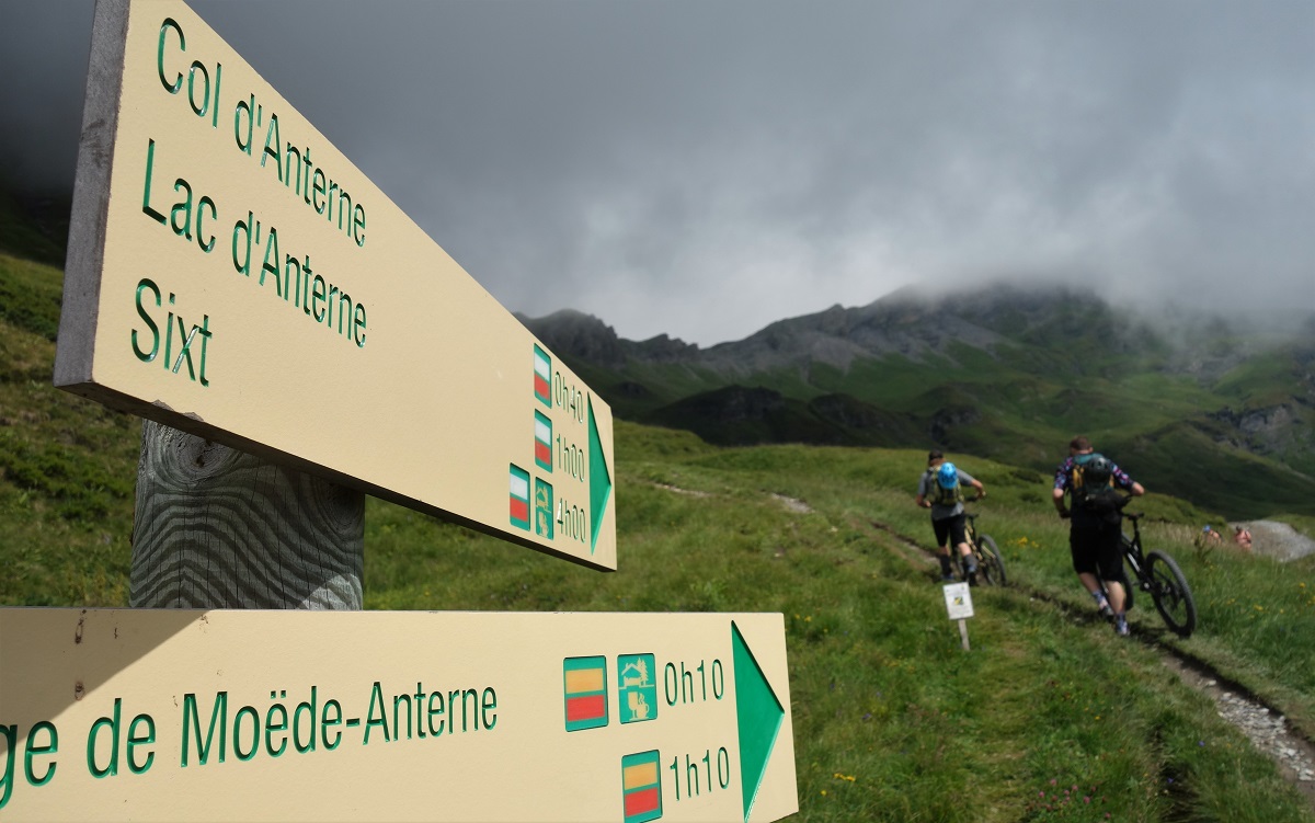
    Obviously we didn’t start at this point. We started in Plaine Joux, a bit above Servoz, with a pedal out of the ski area and up towards the Chalets Souay, then up towards the Refuge Moede Anternne, then up towards the Col du Mode Anterne. I say pedal, there was a fair bit of pushing in there. And a bit of carrying. Which kinda started a theme.

    Climbing 1000m doesn’t make for great content. Normally the slow pace means you get plenty of little rider/big scenery shots but the weather was treating us to 7/8ths cloud cover. This was grand news for my pasty Scottish skin but kinda hides the Mont Blanc and Chamonix Aiguilles banger backdrop we were hoping for. So we had to speak to each other and just get on with the climb instead.

    Too cloudy for climbing shots, fortunately Toby could muster up this one of some scenic traversing.

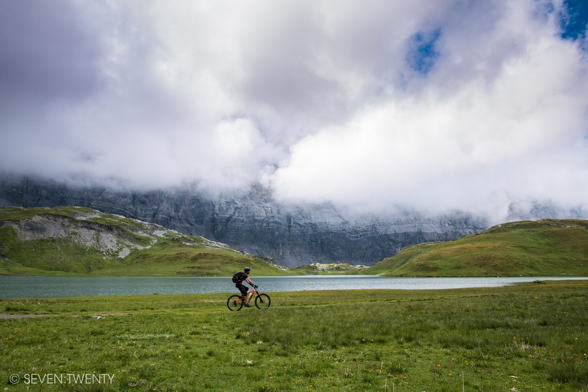
    Once over the col and on with the assorted padding and protection modern biking fashion and injuries dictate the content creation didn’t get much better. The descent from Col d’Anterne down past the Lac d’Anterne is normally framed by the massive limestone cliffs of the Fiz on one side and the rolling Scottish (slash Lake District slash Kiwi, the problems of going biking with foreigners) hills on the other. When we got there, it was framed by cloud. Not to worry, the trail is just as good irrespective of whether it’s bathed in sunshine or if the weather’s gone for an early bath. It’s also entertainingly unpredictable, with multiple line choices and several moments where what looks benign trail suddenly turns quite engaging.

    To infinity....and beyond! Or oblivion. It might be oblivion over that edge.

    So far so good, but so known. The ride to here had already been done, dusted and put online, at which point Jamie Carr had pointed out to me that there was a better descent than the line we’d ridden down to the Refuge d’Anterne Alfred Wills. Which is why we turned right just after the Lac d’Anterne towards the catchily titled “Le Petite Col ou Bas du Col d’Anterne” and into Terra Nova. Well, nova for us. The worn path on the ground and fact there was a sign pointing where to go makes it about as undiscovered as America or Australia was. Meh, we’re white and male and we’re claiming it as ours.

    Toby being the small biker in big scenery. As Toby is 6 foot 7 and riding an XL Mega, you get a good idea of the size of the big scenery.

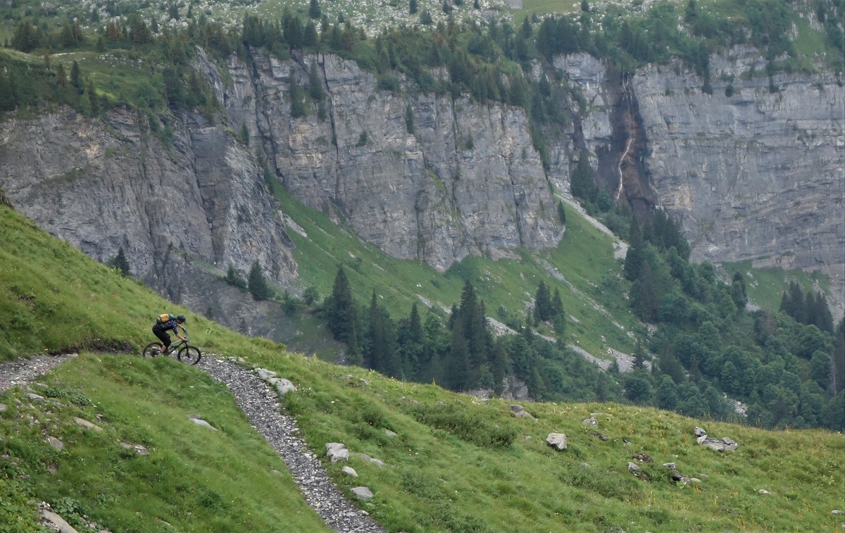
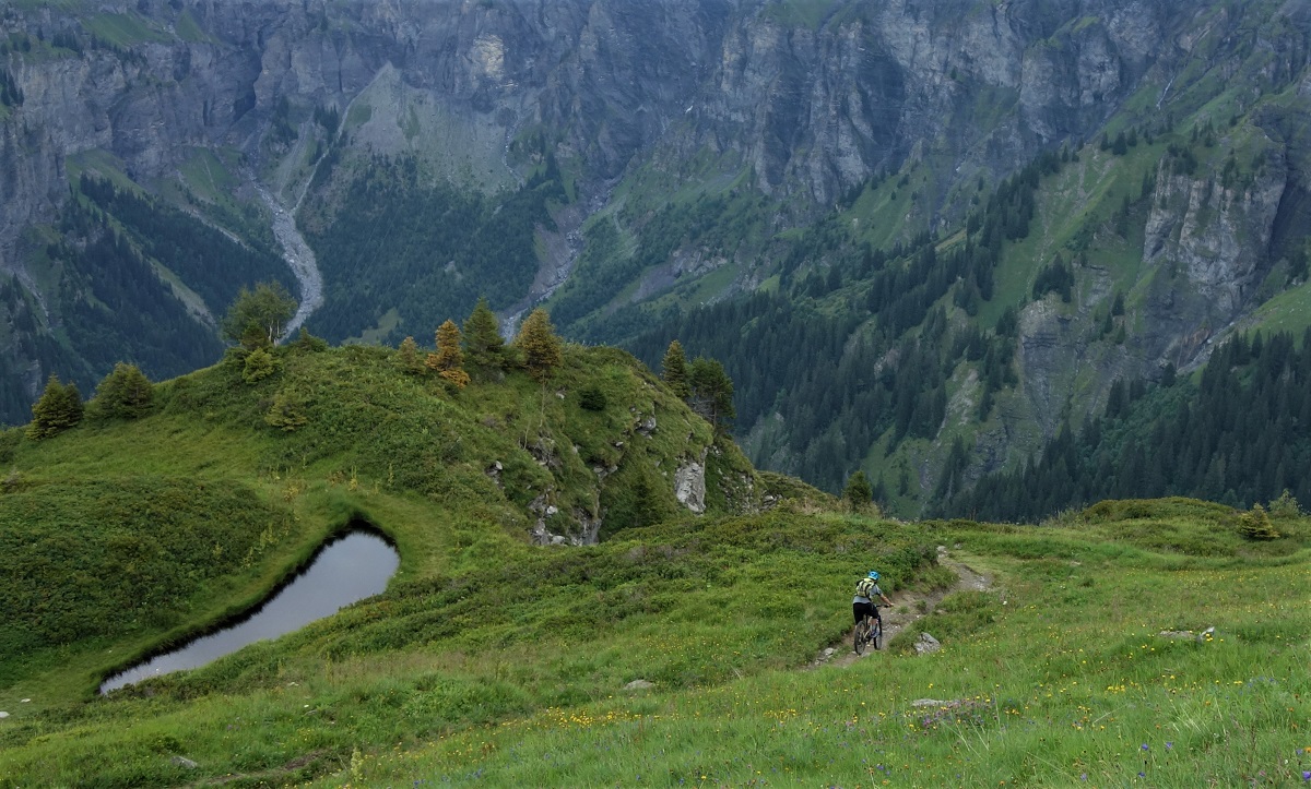
    Turns out that as one of the original UK alps mountain bike guides, previously a world champs racer and currently a long time resident of the Grand Massif, Mr Carr does indeed know his good descents. After the scenic traverse towards the savage west face of Mt Buet the descent drops into a Mordor esque cirque. The deep greens around us start to blur as the trail eggs you on to ride quicker and quicker. It’s not a difficult trail but it’s plenty fun. As it’s worn into the hillside you’ve almost always got some form of support on the outside of each curve and the drainage ditches have mellow walls that let you manual, hop or bounce over and out as you feel like. And, as the gradient never gets too steep, you get massive value out of the 700m you descend to the hut.

    Tim heads for the hut. Quickly. No one want to be an orc snack.

    The hut, Refuge des Fonts. Overnighting is a sure fire way to up the value of your content from a trip. Doesn’t matter if it’s climbing, skiing, kayaking or biking. Stay overnight, fire some shots of chillaxing at the end of a long day onto your socials, mibbies add a couple of star studded sky images or a long exposure of headtorches and you’re golden. Except there was no 4g. Oh, the humanity. There was beer though. We ordered some beers and chatted to each other. Again.

    Some good beer content that....

    There’s not much to say about staying in refuges. Either it’s something you enjoy or you don’t. The food is hearty unless you don’t eat meat and vegetables and cheese. The beds are comfy as long as you’re not over six foot tall (and to be fair, the beds are still comfy, it’s just you can’t stand up in the dorms). The breakfast will be coffee, stale bread and jam. Someone will snore (apparently it was me).

    Would sir prefer the en-suite with shower or bath?

    They’re also infinitely better than riding with a tent, sleeping bag, stove and food strapped to your bike. The Refuge des Fonts ticked all these boxes, everyone was super friendly, our bikes got locked away in the store shed and we got to stay warm and dry through the overnight rain and wake to blue skies and sunshine.

    Refuge des Fonts. Poos with Views.

    Day two started as it was intended to finish. Going downhill. Rolling out of the refuge grounds the trail is just about 4×4 truck friendly with some surprisingly well placed banks to make things more interesting. After a few kilometers of that we got to break off left into some sweet singletrack through the trees. In the morning. After a overnight rain storm.

    Wet root gardens are a much better wake up shot than any cup of coffee I’ve ever had. We all survived somehow.

    It all seemed so easy at this point.

    Whilst the day would start and end descending, there was this middle bit where we would go uphill. It started easy enough with a nice meandering road climb up to Le Liggon. It then eased us into some rougher fireroad but still something you’d get a Rangerover up.

    A little steeper.

    A little narrower.

    A little rougher.

    Are we having fun yet?

    It’s like a good book or movie. The protagonist slowly gets deeper and deeper into trouble but, like the proverbial frog being slowly boiled, doesn’t notice it until they see the side salad getting prepared for their “tastes like chicken” flesh to be served with.

    The bikes went onto our backs and we kept going uphill.

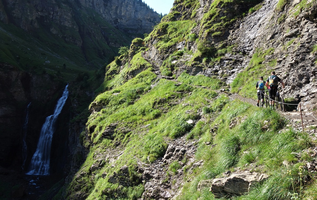
    Torrent de Sales. Good distraction that.

    Fortunately we had the distractions of the Torrent de Sales and its waterfalls as we went up.

    And, with good scenery comes the potential for good content, so we got to stop every so often, stretch out the shoulders, and take some photos. Woop.

    Sometimes we even got to ride the bikes uphill.

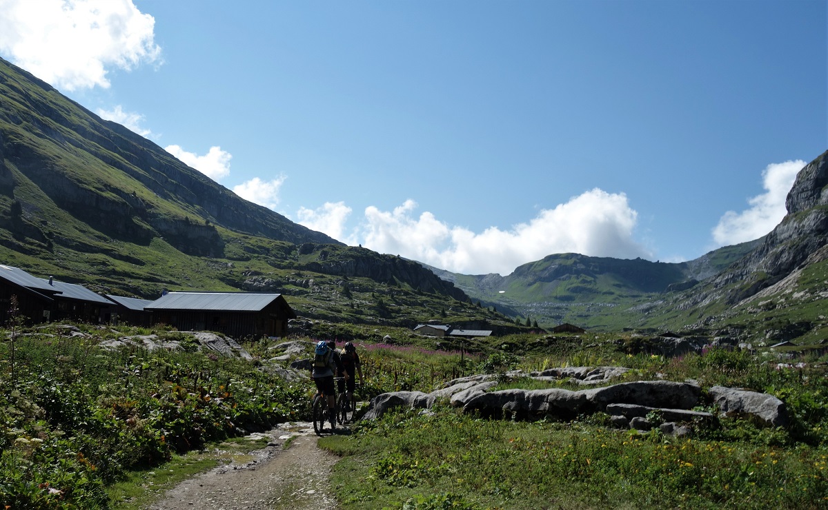
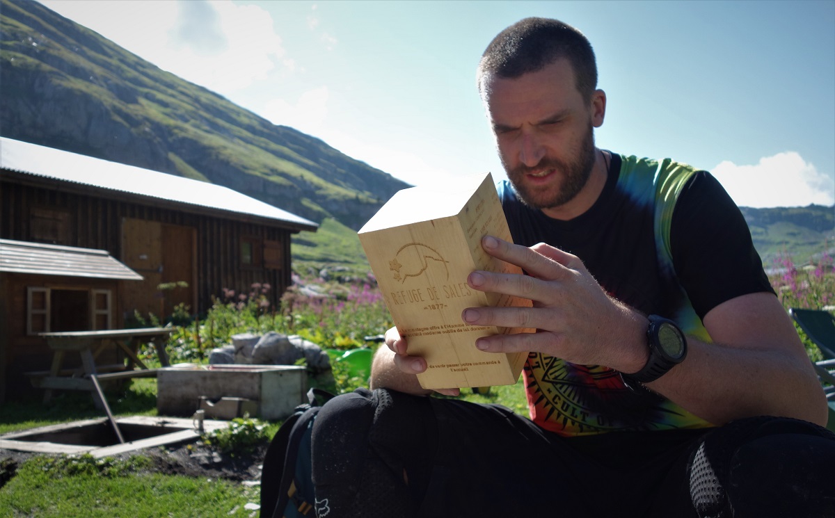
    Eventually, and after a pretty brutal 800m and 2hr of climbing, we rolled into the Refuge des Sales. It didn’t take much convincing for us to stop for refreshments. I’m not sure it even took any discussion.

    If that menu's blowing away, you probably don't want to eat outside anyways. Refuge des Sales

    With only 500m of up left you’d think things would be looking good from here. You’d think, but you’d be wrong. We were entering the Desert de Plate, one of France’s largest limestone karsts and home to some impressively big fissures (and you thought it was an option on the Refuge des Sales’ menu….). When the nearby Flaine ski area opened in 1970’s skiers were quick to exploit the off piste potential of the desert du plate, and promptly started disappearing into stone crevasses covered by thin snow bridges. It also doesn’t make for particularly direct trails.

    Still going up.

    Never mind, every pedal stroke (or footstep), is another stride in the right direction. Eventually we reached the Col de la Portette and could start looking at the down rather than the up.

    All downhill from here Toby....

    Looking down had it’s advantages too, the trail from the top of the Col de la Portette isn’t really the kinda thing you just drop into. Not if you want to get beyond the first switchback at least. None of us rode the first switchback.

    Tim. Dropping. Or whatever the kids say these days.

    Nevermind, a couple switchbacks out of a near 1800m descent isn’t much to stress over. We continued down, and down, and down until we got to the Chalets de Plate. Where it started to spit with rain.

    Switchbacks we could deal with.

    Up till now the weather had been pretty nice and the forecast had promised that it would stay so.

    Unfortunately the weather hadn’t read that forecast.

    Strong pointing game from Toby. Strong background game from Sallanches.

    Fortunately it seemed to be listening to those of us on the ground complaining and no sooner had it started raining it stopped and the ground began to dry again.

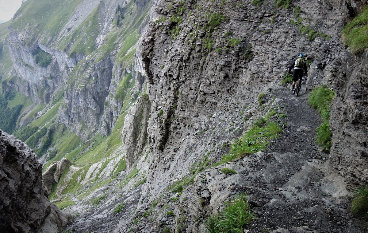
    Buoyed with the excitement of it now being downhill all the way to the bar we traversed the short plateau to the main event of the day, the passage through the cliffs of Les Egratz.

    TIm passaging as the trail gains interest.

    Good content, as implied at the start of this, needs to be a bit eye catching. What could be more eye catching than some big views of a big drop and a wee trail scratching it’s way through it?

    Cautiously, because you really didn’t want to fuck things up here, we started to descend….

    Now THIS is where it gets interesting.

    Then it started to rain again.

    Some geology deals well with the rain, a bit of moisture hardly dents the friction available. Squamish granite and Skye gabbro are two examples that come to mind. Limestone is not one of these materials. Limestone does not shrug off moisture and keep its mu. Limestone plus water equals a very unpleasant time for all. Limestone plus water plus death exposure equals not a massive amount of riding getting done.

    Ask yourself. Do you want to be here when it starts to rain bigly?

    There was a wee bit of debate as to how best to proceed when instead the environment made the choice for us. The rain turned to a deluge, drops of water the size of smarties pummeled us from above and we found ourselves right back where we started this story.

    A loose, steep couloir is NOT the place to hang about in weather like this so, being all too aware of many events in the alps this season, we got down as fast as we could and hid under an overhang at the exit from the couloir.

    When obviously it stopped raining.

    Out of the frying pan, into a nice pool of cool soothing liquid. Things were much better once escaped from the couloir and weather.

    I’ll not lie. We were all a bit disappointed by this turn of events (the rain, not the stopping of the rain). Two days is a fairly long approach in bike terms for a descent. It’s about the journey not the destination and all that though. We’d already had a wheen of good riding, missing out on less than 100 meters of vert didn’t change that, nor did it change that we still had a little over a vertical kilometer to drop yet. Dry your eyes mate, get back on the bike and start having fun.

    Both riders in the air at the same time, on a natural trail. Rare as unicorn poo that. Rare trail too...

    From a story telling content perspective, I’d finish this post there, stepping out from the overhang, shot of three riders laughing and shrugging shoulders, then cuttying and manualling off into the sunset.

    From a real life perspective, we continued more sheepishly. There were a few navigational issues on the descent, it turns out that if only one of the members of the team has ridden the trail, and only once, and that once was part of a longer ride where he was not on an e-bike whilst the others were, and it was in the evening, and it was 4 months ago, his memory might not be perfect for each junction……we got there in the end, and it was worth the detours. A trail destined for another visit for sure.

    That's some of your genuine loam there lad, no fakes, no imitations.

    We reached the bar, the traditional end point for all rides and start point for the creation of the story of the ride. As none of us had go-pros we skipped high fives and went straight to ordering beers. What did we learn? Nothing we didn’t know already*.

    Refuge des Fonts. It's not all fun and games, we found a hidden mine relying completely on child labour there too. Dark things happen in them thar hills.

    *An abrupt end for sure. I considered padding out the “living life in the moment” analogy even further, but there’s more than enough words in this already, and the irony about spending current time by writing of a past event as a parable to live in the moment is getting too much for me.

  • Tour du Mont Blanc day 1

    With nothing much to write about in Chamonix this week (the weather is hot, sunny and err hot, and both the town and trails are hoaching; Les Houches, Le Tour and GM trails are all holding up well, if a bit dusty; Flegere is OK but really needs the loose stones swept off it; rained a bit today which should improve grip, but the forecast is scorchio for the next week), I thought I’d put up a wee write up on the Tour du Mont Blanc which legendary (or at least infamous) Scottish biker Sanny & I did in September 2012. If you’ve got any questions or want some advice on the tour, ask away in the comments field.

    TdMB

    Mont Blanc’s a fairly big deal in France, they’re quite proud of it. It was the biggest mountain in Europe till the Caucasus joined in, but it’s still the highest in Western Europe. As a result, people flock to Chamonix to climb, descend, fly over, jump off and travel around Mont Blanc. All of these are possible with a bike, but only travelling around is anything less than contrived.

    The circumnavigation, known as the Tour du Mont Blanc or TdMB, usually takes walkers six to twelve days, staying in the huts, refuges and hotels that line the route. It’s also the venue for the “Ultra Trail Mont Blanc”, a non-stop race around the TdMB, the winner generally coming in at around the 20hr mark… It’s had a fair bit of attention from mountain bikers too, with umpteen companies offering guided circuits of 4 – 6 days, usually in a clockwise direction to maximise its rideability, but diverging from the route taken by walkers. After much pouring over maps, we thought we’d found a route that stayed fairly close to the “normal” Tour du Mont Blanc route, whilst maximising the amount of rideable, singletrack descending, with the least pain in the ascent. At 100 miles, with about 21,000 foot of climbing, we would need a fair bit of time to get round. We had 3 days. Best get a move on.

    Obviously, for a ploy such as this, a reliable and competent companion is required.  Some say he can spot un-ridden trails from space and that he once told a joke so offensive, even Frankie Boyle was appalled. All we know is; he’s called Sanny.

    Col du Voza

    So with a plan, a Sanny and an almost perfect weather forecast we rolled out of Chamonix a little after 8am. Unfortunately we then had to ride the wrong way up the hill to reclaim some gear from a friend’s house before we could get going, but who doesn’t start a long ride with a bit of faff?

    Meters Climbed: 0

    Meters Singletrack descended: 0

    The first half of the day was all about covering miles quickly and easily, so a short spin down the road to Les Houches before letting the Bellevue Cablecar take 700m of strain off our legs and take us up to the Col du Voza. Descending on a mix of fast fire road and single lane tarmac through bucolic alpine villages had us making time incredibly easy. Stopping outside Les Contamines to eat some of the leftovers of last night’s Midnight Express takeaway, the first talk of a 2 day circuit was had.

    ice creamCol du Bonhomme

    Our enthusiasm was curbed by the start of the climbing proper outside of Notre dame de la Gorge, the transition from spinning away in the middle ring to grovelling in the granny was pretty harsh, but progress was being made and it seemed like an excellent idea to stop at the Refuge Nant Borant for some soup, ice cream and a rest before getting properly stuck in to our first proper alpine pass….

    Meters Climbed: 416

    Meters Singletrack descended: 0

    ….’Do you remember the 1st time?’ I don’t think any of the members of Pulp are mountain bikers, but even if you’ve ridden a bit in the alps, your 1st alpine pass is different, you’ve sweated to get there, not ridden a chair. Slowly your horizon has been less rock and more sky then a whole new set of hills to play in appear, and the possibilities start running through your mind: there’s Les Arcs, I could ride there, and the Gran Paradiso, and.

    At the col

    The Col de la Bonhomme at 2329m is not quite the highest point, but it did mark where you can get back on the bike and start contouring round to the Col du la Croix de Bonhomme (2479m). From here the map had shown a single black dashed line dropping to the Refuge La Nova 930m below, suggesting an awesome singletrack descent, but as Sanny and I both knew, maps can tease, hint, prompt and even promise, but they don’t always deliver.

    Delivering

    This one did, laid out in front of us and snaking through the terrain like in all the best photos. We dropped the saddles & headed down. Jarvis Cocker was wrong, it was brilliant…..

    Meters Climbed:  1468

    Meters Singletrack descended: 930

    ….. What goes down must come up. We’d been steadily climbing to La Ville des Glaciers for about 20mins from the Refuge La Nova, where we’d discovered that spaghetti will not be served after 3pm. As a Cat 2 road climb, there wasn’t really any other option but to steadily climb and unfortunately my hopes that the narrowness of the road would allow me to stop and get off whenever a car approached was scuppered by the genial motorists driving into the ditch to let us past. I was busy contemplating the strange noise that was emanating from my rear hub when Sanny pointed off the side of the road and politely suggested in Glaswegian that I look. Slowly gliding (soaring sounds more majestic, but really, this was the avian equivalent of a stroll down the shops) about 15 foot away was an eagle of at least 6 foot wingspan. There was no time for getting the camera out, it was just one of those moments you get every so often on a bike when you could savour nature, flora & fauna, and appreciate it for what it was, a bit like the days before we had to document in 1’s and 0’s our every movement. Just as the bird was fading from view, and the camera would have been lowered, its’ mate flew by. That would’ve been an awesome photo. Bugger.…

    Meters Climbed: 1568

    Meters Singletrack descended: 930

    Not getting lost

    ……Should I stay or should I go? Sanny and I were stopped having a discussion about continuing on over into Italy, or stopping for the day in France. It was a 650m climb up the 2516m Col du Salena and then down to the Refuge Elisabetta Soldini, we’d hopefully knock it out fairly quickly, arriving in before the dinner cut-off time of 1900 and getting well ahead of schedule for tomorrow. But then again, the forecast was for an overnight storm starting in the late afternoon, the clouds and wind were building and some peals of thunder had been heard, suggesting that continuing may not be such a great idea. Our decision was made for us when the Refuge des Mottets came into view, and was decidedly closed looking. We swore, secretly pleased that the choice was out of our hands even if it wasn’t the one we wanted, and stoically climbed on.

    For 20 meters.

    Below us, the Refuge des Mottets was very much open. We had mistaken a sheep herder’s house for a 70 bed hut. There was no debate this time, we went to see what they were serving for tea….

    Meters Climbed: 1789

    Meters Singletrack descended: 930

    Refuge des Mottets

  • Tour du Mont Blanc day 2

    ….. Day two – the tortoise and the hare. On the climb out of the Refuge des Mottets we’d been swapping stories and jokes with an Andorran trail-runner, out for a gentle jaunt around Mont Blanc. As he was on foot and we were mostly carrying our bikes it was only to be expected that he would say his farewells and trot off into the distance, on the flat and descents we would easily be quicker.

    Climb to Col de la Seigne

    Sure enough, we met him again as we dropped into Italy, the descent at first on open foot worn tracks with natural berms for every twist, then as we neared the refuge a wide 4×4 track which gave us the chance to fully appreciate what must be the most spectacular valley in the alps, Val Veni. Only then the front shifter on Sannys bike jammed.

    We stopped and faffed.

    Bike faff

    Saying Hi as he passed, the Andorran caught up.

    Sanny continuing with the new fashionable 1×10 set up for the rest of the trip, we caught our friend again, with another chat.

    Did I mention Val Veni is spectacular? You can’t ride down it and not stop for photos. We said Hi again.

    Val Veni

    In the kids fable, the sure and steady tortoise eventually beats the impetuous hare. In real life, there was no such doubt as to the winner of the race. As we started the push up from the valley floor towards the Youla bowl we waved him off and could only wonder where he finished for the day….

    Youla climb

    Meters Climbed: 2435

    Meters Singletrack descended: 1161

    …..Descent espresso Our legs were starting to feel the effort of the last 12hr culmative riding, however there’s nothing quite like a movie perfect piece of trail to take your mind off them. I’d hoped the descent into Courmayeur would be worth the detour from the fast track along the valley floor, but I never thought it could be as good as it was.

    Youla descent

    Starting in the high alpine, the trail gently curved along the hillside, under the peaks used for the skiing Freeride World Tour. Eventually the trail started to swoop through thinly spaced trees, gradually thickening, but still keeping the fast and pumpy  feel . The briefest of climbs at the Col Checrouit passed without changing gear before Courmayeur appeared below us. Heading down the steeper winter pistes on a more switchbacky section of singletrack, we steadily lost height before more tree lined singletrack brought us out onto a 4×4 track Gaining speed on the fast and loose surface, plenty of JMC tribute hairpin drifts were had before the final section was spotted dropping off the edge of a bend.

    Hard breaking, hanging off the back of the bike technical riding followed before we were spat out across the river from Courmayeur where the trail finished with some urban descending through narrow cobbled streets and down flights of steps. 1180 vertical meters and one of the best descents I’ve ever ridden, made even better by the obligatory stop for Italian food and drink.  Pizzas all round…..

    Courmayeur descent, lower sectionPizza. (spotting a theme yet?)

    Meters Climbed: 2830

    Meters Singletrack descended: 2346

    …..Tick, Tick, Tick. Boom. Yesterday’s odd noise from the rear hub had now manifested itself as something worse. On the descent into Courmayeur the free hub had started to occasionally stick meaning I had to keep pedalling to stop the chain dropping into the spokes, not a good thing less than half way round. Now, part way along Italian Val Ferret, I discovered there was enough friction in the hub to stop the wheel free turning after only a couple of rotations. This was why Sanny was a spec in the distance & enjoying himself whilst I grovelled my way up, nothing to do with him being fitter and me being on the verge of blowing. Knowing that it was a steady sit down and spin climb to the Elena Refuge, 880m above  Courmayeur, where I could buy coke, or beer, or even coke & beer, was pretty much all that was keeping me going.

    The Elena refuge had closed that morning.

    Sanny valiantly attempted to persuade them to re-open, using words that would’ve impressed British, German & French dockers, but not Italian. Probably why the doors didn’t open. There was nothing for it but to start pushing and humpfing the bikes up to Col Grand Ferret…..

    Grand Col Ferret

    Meters Climbed: 4187

    Meters Singletrack descended: 2346

    ….Lucky cows. The drop into Switzerland from Grand Col Ferret had lived up to the standards we were now coming to expect, but there’d been nothing extra marking it out as special like the Bonhomme, Seigne & Courmayeur descents. We were nearing (or so we thought) the end of the singletrack & the Swiss Val Ferret road end where we would make speedy progress down the tarmac when, without thinking, we swung left.

    Swiss Val Ferret descent, upper section

    The path got narrower & took us along the valley, torn between concentrating on the narrow ribbon of trail & looking at the brilliantly named Marmontains hills around us. Eventually we started to head upwards &, with the road head now on the other side of the valley & some distance behind us, I accepted it may be time to consult the map. We’d taken the ‘wrong’ trail. Fortunately ‘wrong’ is a matter of perspective. The map showed the dashed black line would eventually rejoin the road just outside La Fouly, it was an easy choice to keep going.

    Swiss Val Ferret descent, lower

    “This is perfect singletrack”

    Sanny was struggling to believe our luck.

    “I told you the trails were better in Switzerland”

    however he was still able to advance his argument of Verbier’s superiority to Chamonix trails. The trail did put forward a pretty good case. Quite how a trail so rideable, with so much flow, came to exist naturally I don’t know, but those Swiss cows obviously have more riding nous than we thought…..

    Meters Climbed: 4227

    Meters Singletrack descended: 3323

    Descent to La Fouly

    …..Fitter, happier and more productive. We arrived in La Fouly at 1805, hungry. With the in-built navigation system that suggests mountain bikers share more DNA with pigeons than most, we instantly found the village shop.

    “Désole, il a  ferme a dix-huit heure”

    Our looks of desperation were correctly interpreted and, before we had even begun to explain that you do not tell hungry Glaswegians they canny have the food infront of them, we were waved in with a “vite, vite!” Vite we were and moments later were consuming the traditional village shop bounty of bananas, chocolate and biscuits. With the first tier of Maslow’s hierarchy of needs satisfied we looked to the second, shelter. Sanny was all for pushing on down the road to Champex, but he was still feeling fit and had ridden the trails here before. I was not and had not, so was making the argument for stopping, happy to have the longer day tomorrow. Only where would we stay in La Fouly? I looked left and saw we were stood next to the Auberge I’d pencilled in for that nights stay. It seemed foolish to resist….

    Meters Climbed: 4227

    Meters Singletrack descended: 3323